
15, Fore Street, building in Ashton Keynes, Wiltshire, UK
Location: Ashton Keynes
Operator: Richard Long
Address: 15, Fore Street, Ashton Keynes, Wiltshire, SN6 SN6 6NP SN6 6NP
GPS coordinates: 51.64659,-1.93028
Latest update: April 8, 2025 03:04
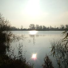
Cotswold Water Park
2 km
Ashton Keynes Castle
301 m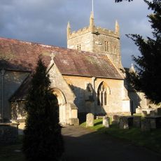
Church of All Hallows
3.1 km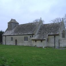
All Saints Church, Leigh
2.4 km
All Saints Church, Shorncote
3.5 km
Elmlea Meadows
3.1 km
Wildmoorway Meadows
3.6 km
Church of the Holy Cross, Ashton Keynes
773 m
Church of All Saints
3.5 km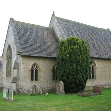
Church of Holy Trinity
3.3 km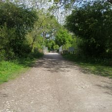
Midland and South Western Junction Railway bridge
3.4 km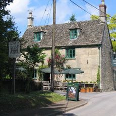
The Bakers Arms
3.3 km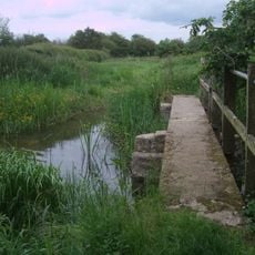
Unnamed footbridge
974 m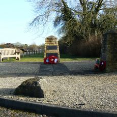
RAF Blakehill Farm WWII Memorial
3.7 km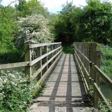
Stones Lane footbridge
3.1 km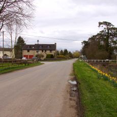
Bridge on The Derry
565 m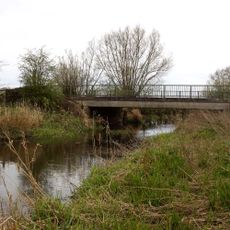
Waterhay bridge
1.4 km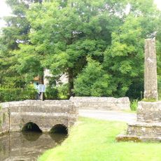
Medieval cross immediately south of Gumstool Bridge
400 m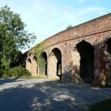
Former Road Bridge On Dismantled Railway
2.5 km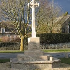
South Cerney War Memorial
2.7 km
Leigh War Memorial
2.4 km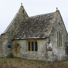
Leigh All Saints Old Chancel
1.6 km
Radnor
2.7 km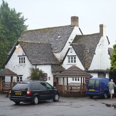
The Old George
3 km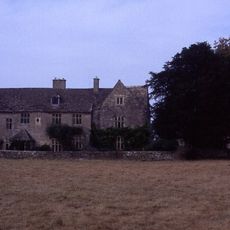
Manor House
3.6 km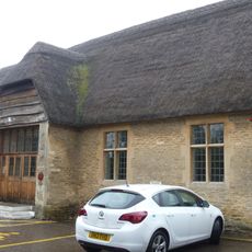
Village Hall
3 km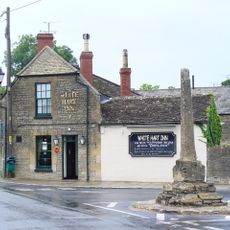
Medieval village cross at the junction of Park Place and the High Road 210m south of Gumstool Bridge
378 m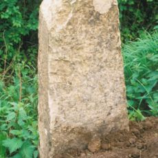
Milestone At Calowe Hill
2.9 kmReviews
Visited this place? Tap the stars to rate it and share your experience / photos with the community! Try now! You can cancel it anytime.
Discover hidden gems everywhere you go!
From secret cafés to breathtaking viewpoints, skip the crowded tourist spots and find places that match your style. Our app makes it easy with voice search, smart filtering, route optimization, and insider tips from travelers worldwide. Download now for the complete mobile experience.

A unique approach to discovering new places❞
— Le Figaro
All the places worth exploring❞
— France Info
A tailor-made excursion in just a few clicks❞
— 20 Minutes