
Hadlow Stair Farm House, farmhouse in Tonbridge and Malling, Kent, UK
Location: Tonbridge and Malling
GPS coordinates: 51.20534,0.30121
Latest update: March 4, 2025 14:08
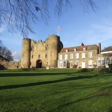
Tonbridge Castle
2.1 km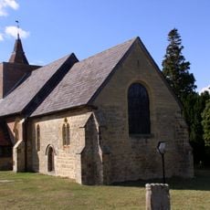
Church of All Saints
2.6 km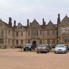
Somerhill House
2.6 km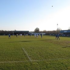
Longmead Stadium
2.3 km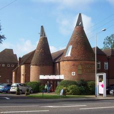
Oast Theatre
2.7 km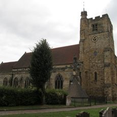
Church of St Peter and St Paul
1.9 km
The Rose And Crown Hotel
2 km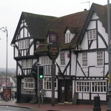
Ye Olde Chequers Inn
2.1 km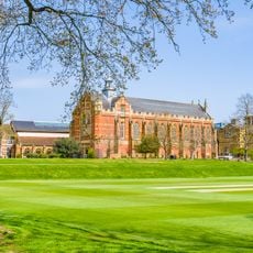
The Chapel Tonbridge School
1.9 km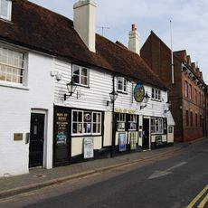
The Man Of Kent Public House
2 km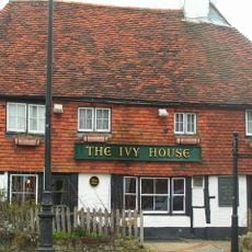
Ivy House Public House
1.9 km
Ferox Hall
1.8 km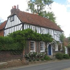
The Hermitage
1.8 km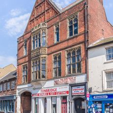
145 And 147, High Street
2 km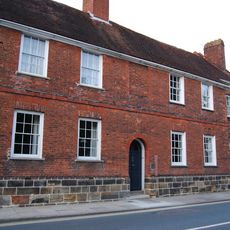
The Red House
1.8 km
Minerva House Minerva House Annexe
1.9 km
157, High Street
2 km
139, High Street
2 km
The Manor House
1.7 km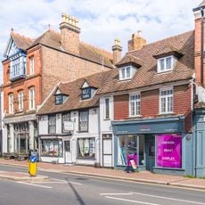
161, High Street
2 km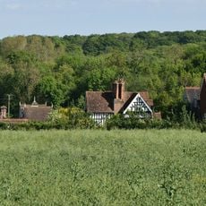
Park Farmhouse
2.7 km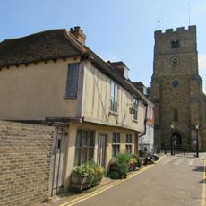
Tyger's Head
1.9 km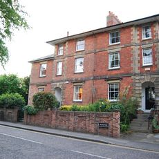
15, Bordyke
1.8 km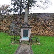
Tonbridge Boer War Memorial
2.2 km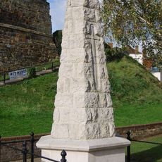
Tonbridge War Memorial
2.1 km
Terrace Walls Around The South And East Sides Of Somerhill Including The Sunken Lake Approximately 5 Metres North Of The Somerhill Stable Yard
2.5 km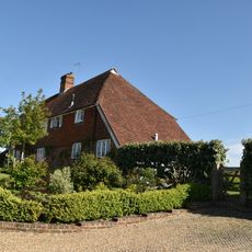
Church Farmhouse Including Bakehouse Approximately 1.5 Metres to the East
2.6 km
Milestone, London Road; W of Dry Hill Road, opp. School
1.9 kmReviews
Visited this place? Tap the stars to rate it and share your experience / photos with the community! Try now! You can cancel it anytime.
Discover hidden gems everywhere you go!
From secret cafés to breathtaking viewpoints, skip the crowded tourist spots and find places that match your style. Our app makes it easy with voice search, smart filtering, route optimization, and insider tips from travelers worldwide. Download now for the complete mobile experience.

A unique approach to discovering new places❞
— Le Figaro
All the places worth exploring❞
— France Info
A tailor-made excursion in just a few clicks❞
— 20 Minutes