
33, High Street, building in Maidstone, Kent, UK
Location: Maidstone
Address: 33, High Street, Maidstone, Kent, ME14
GPS coordinates: 51.27290,0.52001
Latest update: March 16, 2025 00:57
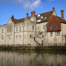
Archbishop's Palace
203 m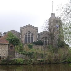
All Saints Church, Maidstone
266 m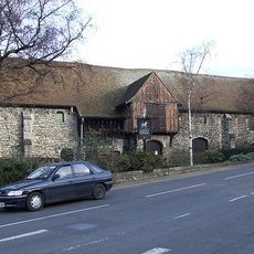
Tithe Barn, Maidstone
230 m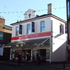
Hazlitt Theatre
140 m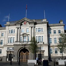
The Old Sessions House
654 m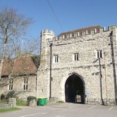
College of All Saints, Maidstone
334 m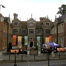
Maidstone Museum & Bentlif Art Gallery
325 m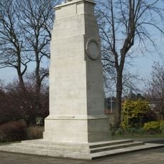
Queen's Own Royal West Kent Regiment Cenotaph
473 m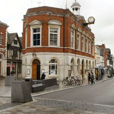
Maidstone Town Hall
161 m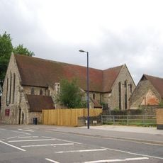
St Peter's Church, Maidstone
280 m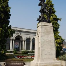
Maidstone Borough War Memorial
346 m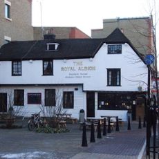
The Royal Albion Inn
291 m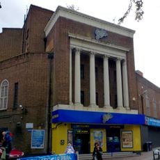
Granada Theatre
381 m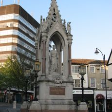
Queen Victoria Statue And Drinking Fountain Opposite No 98
227 m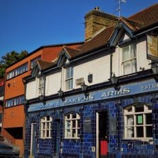
The Pilot Public House
542 m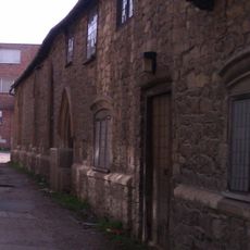
The Corpus Christi Hall
161 m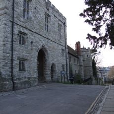
The College Gateway (All Saints Parish Room) The College Tower
318 m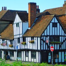
70 Lower Stone Street
446 m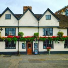
The Lamb Public House
91 m
8 and 9, High Street
186 m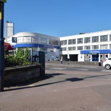
Rootes Maidstone
151 m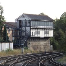
Maidstone West Signal Box
633 m
Chillington House
350 m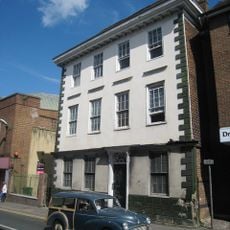
11, Lower Stone Street
366 m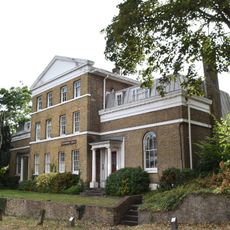
21 And 23, London Road
567 m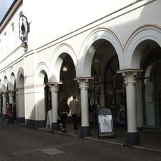
The Market Buildings
200 m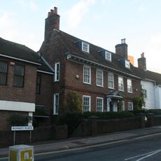
Romney House
392 m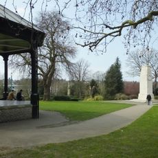
Brenchley Gardens
456 mReviews
Visited this place? Tap the stars to rate it and share your experience / photos with the community! Try now! You can cancel it anytime.
Discover hidden gems everywhere you go!
From secret cafés to breathtaking viewpoints, skip the crowded tourist spots and find places that match your style. Our app makes it easy with voice search, smart filtering, route optimization, and insider tips from travelers worldwide. Download now for the complete mobile experience.

A unique approach to discovering new places❞
— Le Figaro
All the places worth exploring❞
— France Info
A tailor-made excursion in just a few clicks❞
— 20 Minutes