
Dwarf Walls And Railings In Centre Of Square, wall in Newcastle upon Tyne, Tyne and Wear, UK
Location: Newcastle upon Tyne
GPS coordinates: 54.97111,-1.61960
Latest update: April 16, 2025 18:31
NX Newcastle
93 m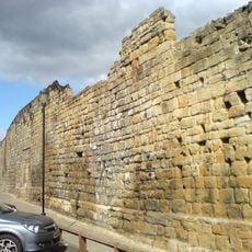
Newcastle town wall
130 m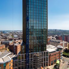
Hadrian's Tower
161 m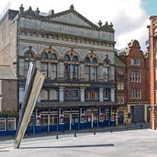
Tyne Theatre and Opera House
110 m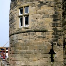
Morden Tower
65 m
Milecastle 4
173 m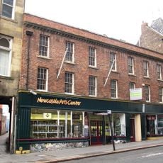
Newcastle Arts Centre
156 m
Former Co-operative Wholesale Society Printing Works
165 m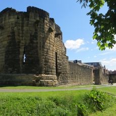
Herber Tower
121 m
Gunner Tower
211 m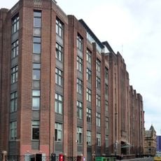
Alfred Wilson House
219 m
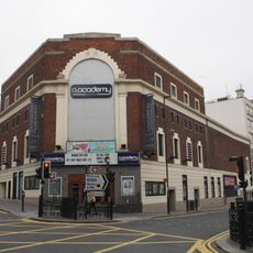
Cineworld Cinema Newcastle upon Tyne
173 m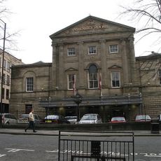
Old Assembly Rooms
167 m
Forth House
182 m
55 And 57, Westgate Road
209 m
52, Westgate Road
210 m
Bewick House
208 m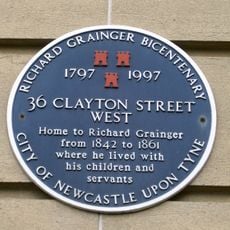
26-36, Clayton Street West
214 m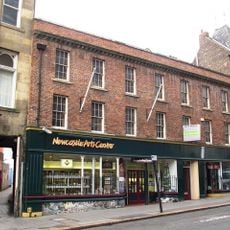
67, Westgate Road
154 m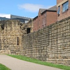
Town Wall With Durham Tower
68 m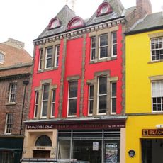
69, Westgate Road
145 m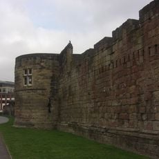
Town Wall, With Morden, Herber And Ever Towers
162 m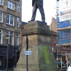
Statue of Joseph Cowen at Junction with Fenkle Street
175 m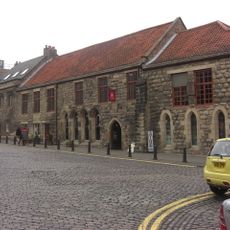
Blackfriars South Range
66 m
Blackfriars East Range
78 m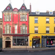
71-75, Westgate Road
134 m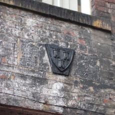
Town Boundary Stone in Rear Wall of Number 65 Westgate Road
166 m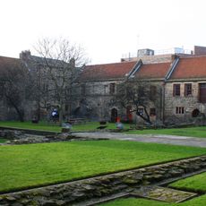
Blackfriars West Range
80 mReviews
Visited this place? Tap the stars to rate it and share your experience / photos with the community! Try now! You can cancel it anytime.
Discover hidden gems everywhere you go!
From secret cafés to breathtaking viewpoints, skip the crowded tourist spots and find places that match your style. Our app makes it easy with voice search, smart filtering, route optimization, and insider tips from travelers worldwide. Download now for the complete mobile experience.

A unique approach to discovering new places❞
— Le Figaro
All the places worth exploring❞
— France Info
A tailor-made excursion in just a few clicks❞
— 20 Minutes