
48-50, Jesmond Road, building in Newcastle upon Tyne, Tyne and Wear, UK
Location: Newcastle upon Tyne
GPS coordinates: 54.98088,-1.60944
Latest update: March 28, 2025 00:43
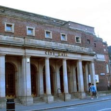
Newcastle City Hall
428 m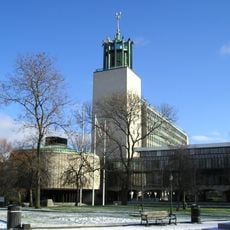
Newcastle Civic Centre
331 m
Great North Museum: Hancock
248 m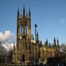
Church of St Thomas the Martyr
347 m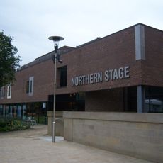
Northern Stage, Newcastle upon Tyne
355 m
Faculty of Humanities and Social Sciences
124 m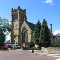
Jesmond Parish Church
241 m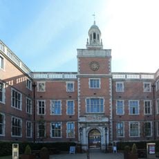
Newcastle University Students' Union
416 m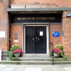
Museum of Antiquities
414 m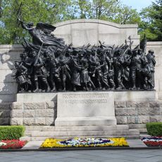
The Response 1914
332 m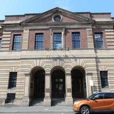
Northumberland Baths/City Hall
397 m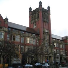
Shefton Museum
439 m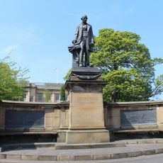
Armstrong Memorial
258 m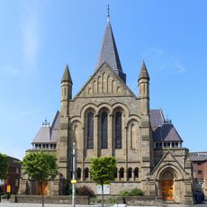
Church of St James with Hall, Sunday School and House Attached
377 m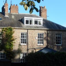
8-13, Brandling Park
349 m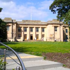
Hancock Museum of Natural History building
241 m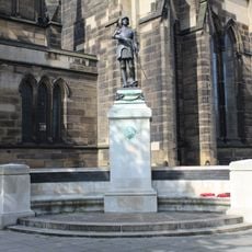
Royal Tank Regiment War Memorial
394 m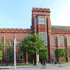
Sutherland Building
426 m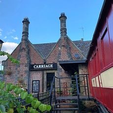
The Carriage Public House
317 m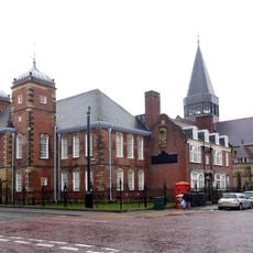
Careers Centre
383 m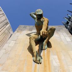
River God Tyne
249 m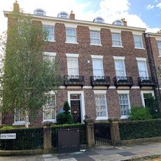
Carlton Terrace
57 m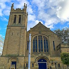
Trinity Building
425 m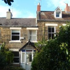
34-46, Brandling Place South
418 m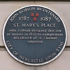
4, St Mary's Place East
403 m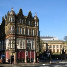
Claremont Buildings
286 m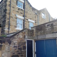
31, 32 And 33, Brandling Place South
410 m
Old Library Building
422 mReviews
Visited this place? Tap the stars to rate it and share your experience / photos with the community! Try now! You can cancel it anytime.
Discover hidden gems everywhere you go!
From secret cafés to breathtaking viewpoints, skip the crowded tourist spots and find places that match your style. Our app makes it easy with voice search, smart filtering, route optimization, and insider tips from travelers worldwide. Download now for the complete mobile experience.

A unique approach to discovering new places❞
— Le Figaro
All the places worth exploring❞
— France Info
A tailor-made excursion in just a few clicks❞
— 20 Minutes