Durham

Log in to your account

AroundUs is a community-driven map of interesting places, built by curious explorers like you. It grows with every review, story, and photo you share.
Connect to save your favorite spots, contribute locations, and create personalized routes.
Continue with Google
Continue with Apple
Continue with X
Continue with Facebook
Continue with email
By continuing, you accept our Terms and Conditions and our Privacy Policy
Create an account
Add to collection
Map
Suggest a change
Share

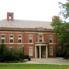
Durham, Educational center in North Carolina, United States

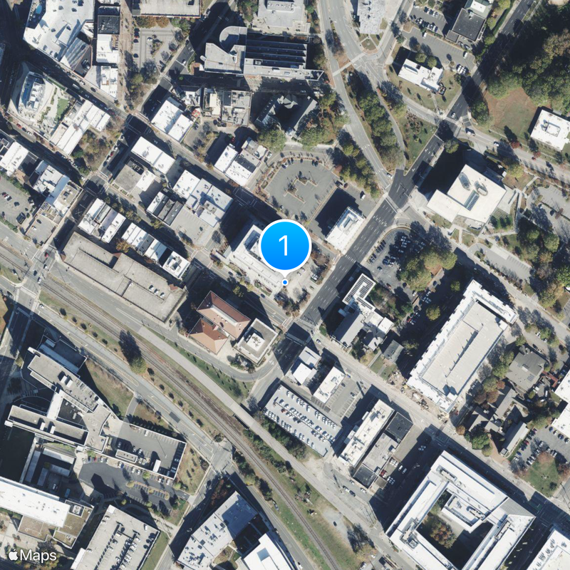
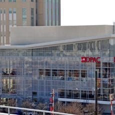
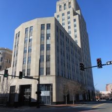
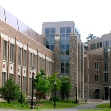
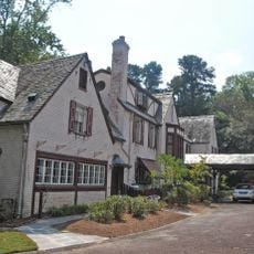
Durham is a city in North Carolina that spreads across rolling hills and flat areas, connecting residential streets with research complexes and university campuses. Roads wind through former industrial zones now converted into galleries and restaurants, while other sections feature modern office buildings and laboratories.

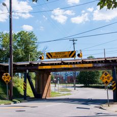
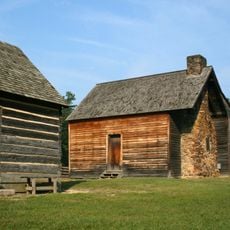
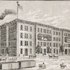
The town grew from a railroad stop in the 1860s and expanded rapidly through tobacco factories that drew workers from across the country. By the mid-20th century, the focus shifted from tobacco to research and medicine, transforming the cityscape completely.

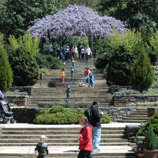
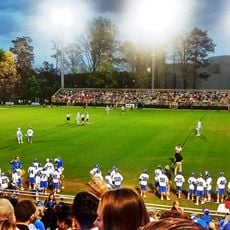
People gather in theaters and jazz clubs throughout the city, where live performances reflect both the student population and the research community. Food trucks and farmers markets offer dishes from many countries, showing how diverse groups of residents shape daily life here.

Buses connect different neighborhoods regularly, and many routes run directly to major employers and educational institutions. Those walking around downtown find short distances between shops and cafés, while outer areas often require a car.

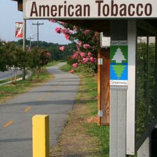
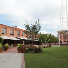
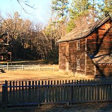
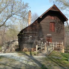
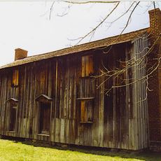
Many old tobacco warehouses still stand and now serve as event spaces, art exhibitions, and small shops, giving the town a distinctive industrial character. Some of these buildings retain original brick walls and wooden beams that recall their former use.

Location: Durham County

Inception: 1869

Elevation above the sea: 123 m

Part of: Research Triangle

Website: https://durhamnc.gov

GPS coordinates: 35.99417,-78.89861

Latest update: December 15, 2025 21:17

Photos
Around this place
11 foot 8 Bridge
United States of America

11 foot 8 Bridge

1.2 km
Duke Chapel
United States of America

Duke Chapel

3.8 km
Wallace Wade Stadium
United States of America

Wallace Wade Stadium

3.9 km
Bennett Place State Historic Site
United States of America

Bennett Place State Historic Site

7.9 km
Krzyzewskiville
United States of America

Krzyzewskiville

3.8 km
Duke Lemur Center
United States of America

Duke Lemur Center

5.6 km
American Tobacco Trail
United States of America

American Tobacco Trail

807 m
Sarah P. Duke Gardens
United States of America

Sarah P. Duke Gardens

3.3 km
Museum of Life and Science
United States of America

Museum of Life and Science

3.8 km
Durham Performing Arts Center
United States of America

Durham Performing Arts Center

338 m
Forest Hills Historic District
United States of America

Forest Hills Historic District

2 km
Stagville
United States of America

Stagville

14.7 km
Nasher Museum of Art
United States of America

Nasher Museum of Art

2.8 km
Frankie's Fun Park
United States of America

Frankie's Fun Park

12.6 km
Edmund T. Pratt Jr. School of Engineering
United States of America

Edmund T. Pratt Jr. School of Engineering

3.9 km
American Tobacco Historic District
United States of America

American Tobacco Historic District

563 m
Confederate Soldiers Monument
United States of America

Confederate Soldiers Monument

43 m
Koskinen Stadium
United States of America

Koskinen Stadium

4.1 km
Duke Homestead and Tobacco Factory
United States of America

Duke Homestead and Tobacco Factory

5 km
Hill Building
United States of America

Hill Building

352 m
West Point on the Eno
United States of America

West Point on the Eno

8.5 km
United States of America

Hope Valley, Durham, North Carolina

5.8 km
Fitzpatrick Center
United States of America

Fitzpatrick Center

3.8 km
Mary Duke Biddle Estate
United States of America

Mary Duke Biddle Estate

2.2 km
W. T. Blackwell and Company Tobacco Factory
United States of America

W. T. Blackwell and Company Tobacco Factory

526 m
Horton Grove
United States of America

Horton Grove

15.7 km
Durham County Justice Center
United States of America

Durham County Justice Center

466 m
21c Museum Hotel
United States of America

21c Museum Hotel

355 m
Show the full map
Reviews

Visited this place? Tap the stars to rate it and share your experience / photos with the community! Try now! You can cancel it anytime.

« Durham - Educational center in North Carolina, United States » is provided by Around Us (aroundus.com). Images and texts are derived from Wikimedia project under a Creative Commons license. You are allowed to copy, distribute, and modify copies of this page, under the conditions set by the license, as long as this note is clearly visible.

Discover hidden gems everywhere you go!

From secret cafés to breathtaking viewpoints, skip the crowded tourist spots and find places that match your style. Our app makes it easy with voice search, smart filtering, route optimization, and insider tips from travelers worldwide. Download now for the complete mobile experience.

Around Us App Screenshot

A unique approach to discovering new places

Le Figaro

All the places worth exploring

France Info

A tailor-made excursion in just a few clicks

20 Minutes