Enable Location

We need your location to show you interesting places around you

Discover nearby places

Find interesting locations and hidden gems around you

Precise directions

Get accurate directions and distances to places

Your location is never shared with other users. It's only used when you tap the location button.

Durham County

Log in to your account

Start exploring — it's free

Trusted by 62,036 travelers worldwide

Continue with Google
Continue with Apple
or

We will send you a code to connect

By continuing, you accept our Terms and Conditions and our Privacy Policy

Check your inbox

We've sent a pincode in your inbox. Please enter the code below.

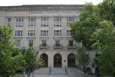
Durham County, Administrative county in central North Carolina, US

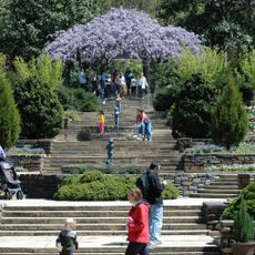
Durham County is an administrative region in central North Carolina in the United States. The area extends across rolling hills and flatter sections with a mix of urban centers and rural land.

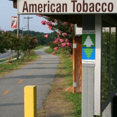
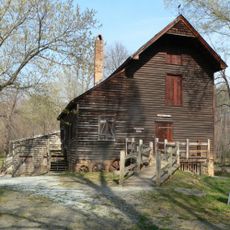
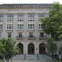
The region was established in 1881 and grew around a railroad depot built on Bartlett Durham's land. Tobacco farming drove expansion and made the area an important commercial and transportation hub.

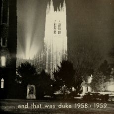
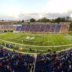
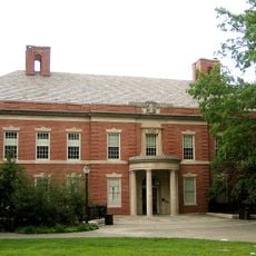
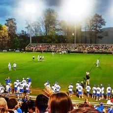
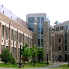
The two major universities shape how education and learning define the region's identity and influence daily life for many residents. Students and researchers are visible throughout the area, reflecting the region's focus on knowledge and discovery.

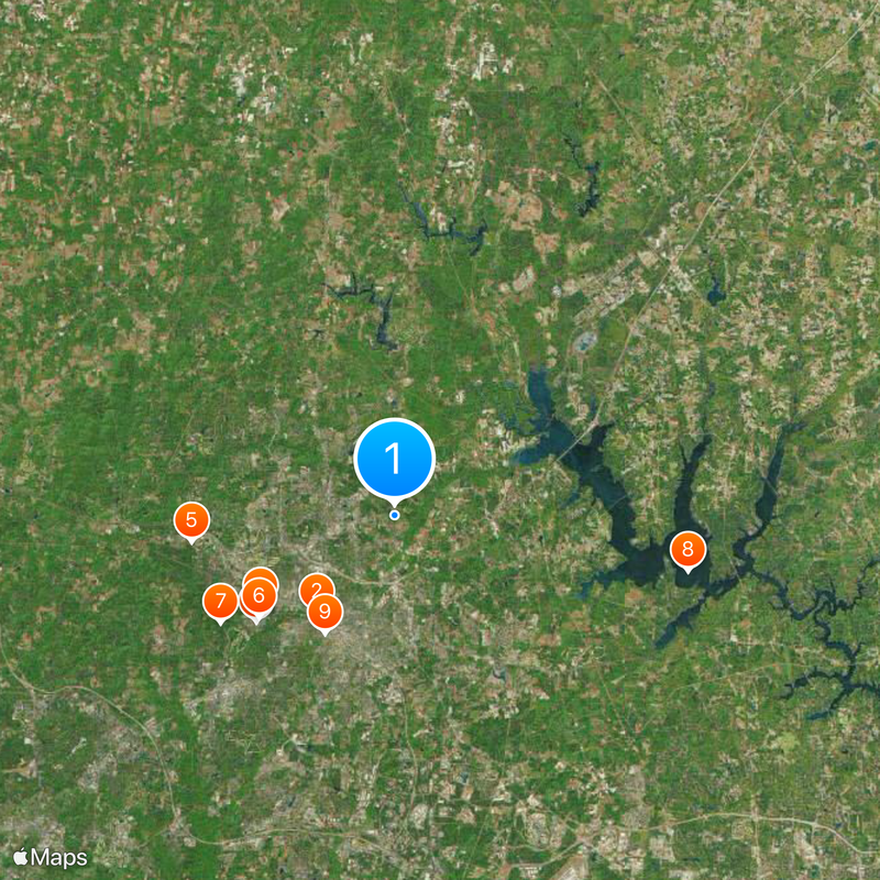
The region is well served by NC 147 highway and sits near Raleigh-Durham International Airport for air travel. Exploring the entire county requires a car since destinations are spread across different areas.

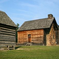
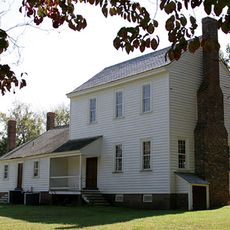
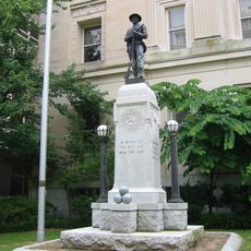
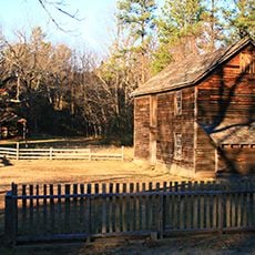
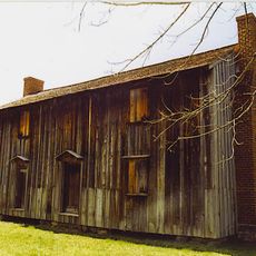
Bennett Place sits here and marks where General Johnston surrendered to General Sherman in 1865. This moment was one of the final major Civil War events in the South.

The community of curious travelers

AroundUs brings together thousands of curated places, local tips, and hidden gems, enriched daily by 60,000 contributors worldwide.

Start exploring
Location
Inception
1881
Capital city
Durham
Shares border with
Person County, Granville County, Wake County, Chatham County, Orange County
GPS coordinates
36.04000,-78.87000
Latest update
December 14, 2025 18:45
Around this place
11 foot 8 Bridge
United States of America

11 foot 8 Bridge

5.8 km
Duke Chapel
United States of America

Duke Chapel

7.6 km
Wallace Wade Stadium
United States of America

Wallace Wade Stadium

8.2 km
Bennett Place State Historic Site
United States of America

Bennett Place State Historic Site

9.6 km
Krzyzewskiville
United States of America

Krzyzewskiville

7.9 km
Duke Lemur Center
United States of America

Duke Lemur Center

9.6 km
Falls Lake
United States of America

Falls Lake

14 km
American Tobacco Trail
United States of America

American Tobacco Trail

6.4 km
Sarah P. Duke Gardens
United States of America

Sarah P. Duke Gardens

7.1 km
Museum of Life and Science
United States of America

Museum of Life and Science

2.8 km
Durham Performing Arts Center
United States of America

Durham Performing Arts Center

6 km
Forest Hills Historic District
United States of America

Forest Hills Historic District

7.6 km
United States of America

Orange County Speedway

22.5 km
Stagville
United States of America

Stagville

9 km
Nasher Museum of Art
United States of America

Nasher Museum of Art

7 km
Frankie's Fun Park
United States of America

Frankie's Fun Park

15.1 km
Edmund T. Pratt Jr. School of Engineering
United States of America

Edmund T. Pratt Jr. School of Engineering

7.5 km
American Tobacco Historic District
United States of America

American Tobacco Historic District

5.9 km
Confederate Soldiers Monument
United States of America

Confederate Soldiers Monument

5.8 km
Koskinen Stadium
United States of America

Koskinen Stadium

8.3 km
Duke Homestead and Tobacco Factory
United States of America

Duke Homestead and Tobacco Factory

4.6 km
Hill Building
United States of America

Hill Building

5.7 km
West Point on the Eno
United States of America

West Point on the Eno

4.8 km
Fitzpatrick Center
United States of America

Fitzpatrick Center

7.5 km
Mary Duke Biddle Estate
United States of America

Mary Duke Biddle Estate

7.7 km
W. T. Blackwell and Company Tobacco Factory
United States of America

W. T. Blackwell and Company Tobacco Factory

6 km
Horton Grove
United States of America

Horton Grove

10 km
Durham County Justice Center
United States of America

Durham County Justice Center

6.1 km
Show the full map
Administrative divisions
« Durham County - Administrative county in central North Carolina, US » is provided by Around Us (aroundus.com). Images and texts are derived from Wikimedia project under a Creative Commons license. You are allowed to copy, distribute, and modify copies of this page, under the conditions set by the license, as long as this note is clearly visible.

Discover hidden gems everywhere you go!

From secret cafés to breathtaking viewpoints, skip the crowded tourist spots and find places that match your style. Our app makes it easy with voice search, smart filtering, route optimization, and insider tips from travelers worldwide. Download now for the complete mobile experience.

Around Us App Screenshot

A unique approach to discovering new places

Le Figaro

All the places worth exploring

France Info

A tailor-made excursion in just a few clicks

20 Minutes

Around Us
Travel Guide & Maps
Download

Send to your phone

QR Code
1

Open the camera app on your mobile.

2

Point at the QR code with your camera. A notification will appear.

3

Tap the notification to open the link.