
Schoharie County, County division in Mohawk Valley, New York, US
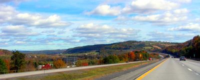
Schoharie County spans 1621 square kilometers of land with rolling hills, farms, and six incorporated villages within sixteen historic towns.
Following its establishment in 1795, Schoharie County developed from Native American territories into a region of agricultural and manufacturing significance.
The county maintains multiple museums, including the Old Stone Fort and Gilboa Museum, which display local artifacts and prehistoric fossils.
Located three hours from New York City and Boston, the county provides access through Interstate 88 and US Route 20 with 90% broadband coverage.
The county features natural formations such as Howe Caverns, Secret Caverns, and Vroman's Nose hiking trail within its diverse landscape.
Location: New York
Inception: 1795
Capital city: Schoharie
Shares border with: Montgomery County, Schenectady County, Albany County, Greene County, Delaware County, Otsego County
Website: http://schohariecounty-ny.gov
GPS coordinates: 42.59000,-74.44000
Latest update: May 27, 2025 07:03

Howe Caverns
12.3 km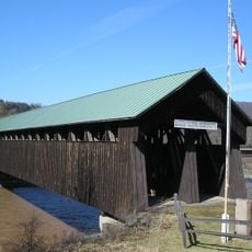
Old Blenheim Bridge
13.1 km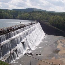
Schoharie Reservoir
22 km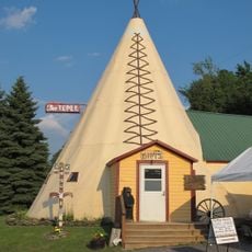
The Tepee
31.4 km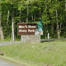
Max V. Shaul State Park
5.2 km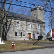
Old Stone Fort
14.9 km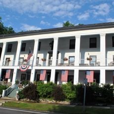
American Hotel
26.9 km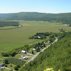
George Landis Arboretum
25.7 km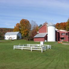
Lansing Manor House
15.6 km
George Westinghouse, Jr., Birthplace and Boyhood Home
15.9 km
Gallupville Methodist Church
18.7 km
Dr. Christopher S. Best House and Office
8.8 km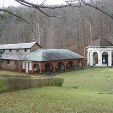
Sharon Springs Historic District
26.7 km
St. Paul's Lutheran Church Historic District
13.3 km
Cobleskill Historic District
10.4 km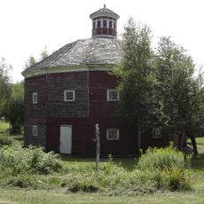
Parker 13-Sided Barn
18.2 km
Quaker Street Historic District
26.1 km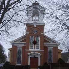
St. Mark's Evangelical Lutheran Church
8.6 km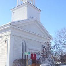
Gallupville Evangelical Lutheran Church
18.7 km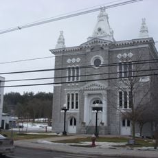
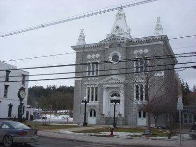
Schoharie County Courthouse Complex
13.3 km
Abraham Sternberg House
16.7 km
Old Lutheran Parsonage
13.4 km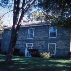
Becker Stone House
17.9 km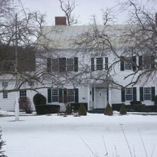
Lasell Hall
13.2 km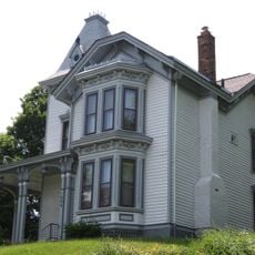
Jenkins House
26.9 km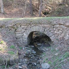
Allan Teator Road Stone Arch Bridge
27.2 km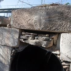
Brand Hollow Road Stone Arch Bridge
26.5 km
A.D. (Boss) Jones House
27.4 kmReviews
Visited this place? Tap the stars to rate it and share your experience / photos with the community! Try now! You can cancel it anytime.
Discover hidden gems everywhere you go!
From secret cafés to breathtaking viewpoints, skip the crowded tourist spots and find places that match your style. Our app makes it easy with voice search, smart filtering, route optimization, and insider tips from travelers worldwide. Download now for the complete mobile experience.

A unique approach to discovering new places❞
— Le Figaro
All the places worth exploring❞
— France Info
A tailor-made excursion in just a few clicks❞
— 20 Minutes