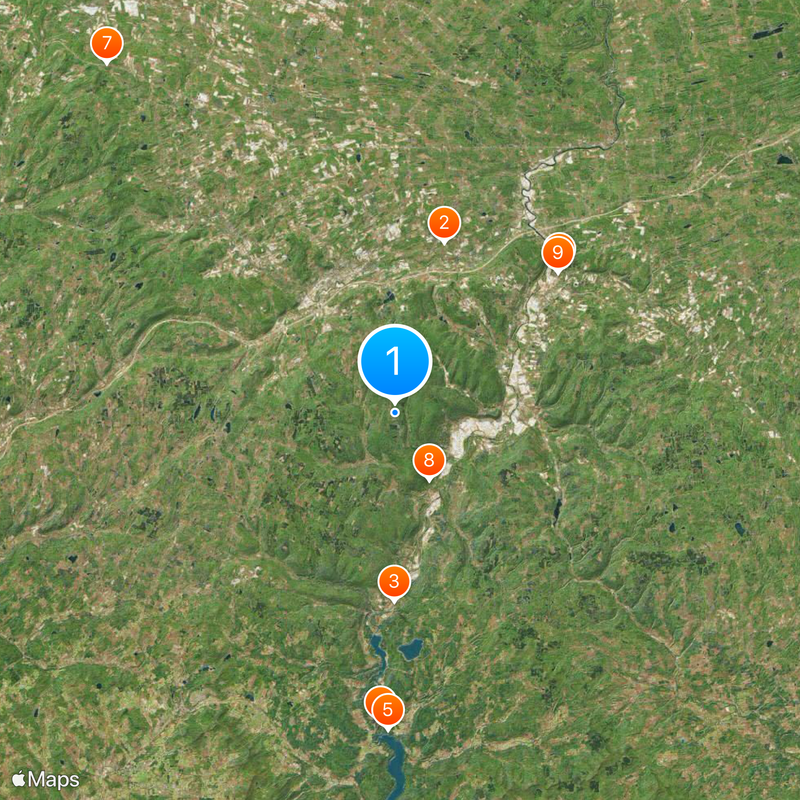
Schoharie County, County division in Mohawk Valley, New York, US
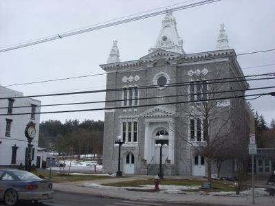
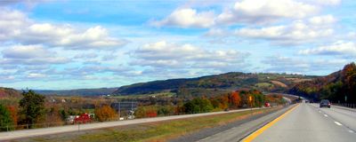
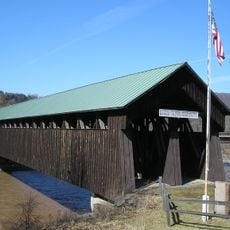
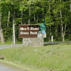
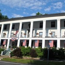
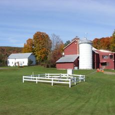
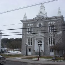
Schoharie County is an administrative region in New York's Mohawk Valley characterized by rolling terrain, agricultural land, and scattered small villages. The area encompasses several historic towns spread across the landscape with farms and countryside as dominant features.
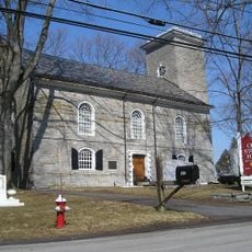
Established as an administrative division in 1795, the region transformed from indigenous lands into a center of farming and manufacturing activity. This economic shift shaped the landscape and communities that define the area today.
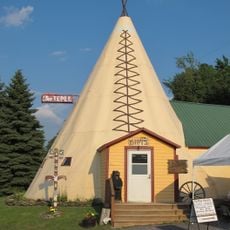
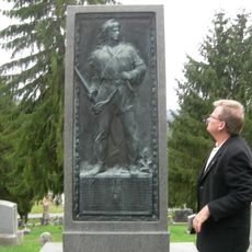
The county maintains multiple museums, including the Old Stone Fort and Gilboa Museum, which display local artifacts and prehistoric fossils.
The region sits roughly three hours from New York City and Boston with access via Interstate 88 and US Highway 20. Broadband connectivity covers most of the area, making it easy to plan your visit and stay informed about local conditions.
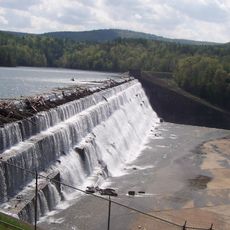
The area contains underground caves such as Howe Caverns and Secret Caverns displaying remarkable natural formations beneath the surface. Vroman's Nose is a notable ridge offering hiking trails with views across the surrounding landscape.
Location: New York
Inception: 1795
Capital city: Schoharie
Shares border with: Montgomery County, Schenectady County, Albany County, Greene County, Delaware County, Otsego County
Website: http://schohariecounty-ny.gov
GPS coordinates: 42.59000,-74.44000
Latest update: December 19, 2025 23:08
Howe Caverns
12.3 km
Old Blenheim Bridge
13.1 kmGilboa Fossil Forest
21.5 km
Schoharie Reservoir
22 kmSchoharie Bridge
15.1 km
The Tepee
31.4 km
Max V. Shaul State Park
5.2 km
Old Stone Fort
14.9 kmIroquois Indian Museum
11.6 kmBouck's Falls
5.7 km
American Hotel
26.9 kmGeorge Landis Arboretum
25.7 km
Lansing Manor House
15.6 km
George Westinghouse, Jr., Birthplace and Boyhood Home
15.9 km
Gallupville Methodist Church
18.7 km
Dr. Christopher S. Best House and Office
8.8 km
Sharon Springs Historic District
26.7 km
St. Paul's Lutheran Church Historic District
13.3 km
Upper Middleburgh Cemetery
9.9 km
Cobleskill Historic District
10.4 km
Parker 13-Sided Barn
18.2 km
Quaker Street Historic District
26.1 km
Gallupville Evangelical Lutheran Church
18.7 km
St. Mark's Evangelical Lutheran Church
8.6 kmAvery Farmhouse
26.2 kmJoseph Wing Farm Complex
20 km
Schoharie County Courthouse Complex
13.3 kmSidney White House
23.9 kmVisited this place? Tap the stars to rate it and share your experience / photos with the community! Try now! You can cancel it anytime.
Discover hidden gems everywhere you go!
From secret cafés to breathtaking viewpoints, skip the crowded tourist spots and find places that match your style. Our app makes it easy with voice search, smart filtering, route optimization, and insider tips from travelers worldwide. Download now for the complete mobile experience.
A unique approach to discovering new places❞
— Le Figaro
All the places worth exploring❞
— France Info
A tailor-made excursion in just a few clicks❞
— 20 Minutes