
Moulton, city in Alabama, United States
Location: Lawrence County
Inception: December 17, 1819
Elevation above the sea: 195 m
GPS coordinates: 34.48231,-87.28562
Latest update: April 19, 2025 06:02
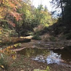
Sipsey Wilderness
23.2 km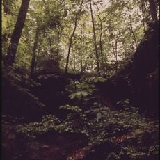
William B. Bankhead National Forest
23.3 km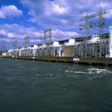
Wheeler Dam
36.3 km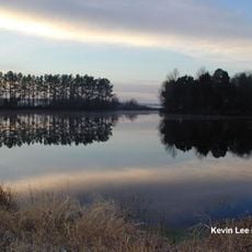
Wheeler National Wildlife Refuge
31.8 km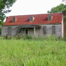
Bride's Hill
21.3 km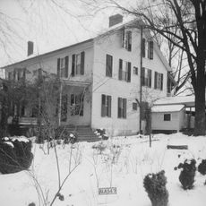
Joseph Wheeler Plantation
18.7 km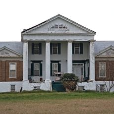
Goode-Hall House
28.7 km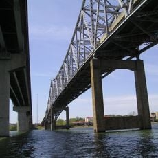
Captain William J. Hudson "Steamboat Bill" Memorial Bridges
32 km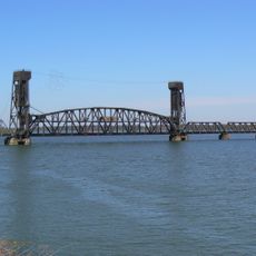
Norfolk Southern Tennessee River Bridge
31.8 km
Princess Theatre
30.8 km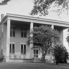
Rhea-McEntire House
31.4 km
State Bank Building, Decatur Branch
31.4 km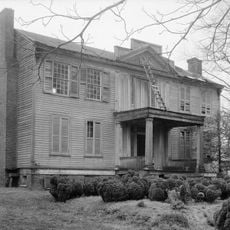
The Oaks
35.4 km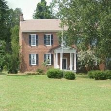
John McMahon House
20.8 km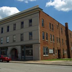
Cotaco Opera House
30.6 km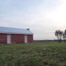
Boxwood Plantation Slave Quarter
23.1 km
Thomas Holland House
14.6 km
Preuit Oaks
29.7 km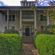
Westview Plantation
32.7 km
Ice House
402 m
New Decatur–Albany Historic District
30.7 km
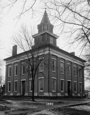
Moulton Courthouse Square Historic District
574 m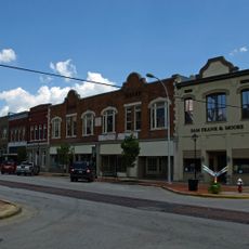
Bank Street–Old Decatur Historic District
31 km
East Old Town Historic District
31.2 km
Hartselle Downtown Commercial Historic District
32.5 km
West Old Town Historic District
30.7 km
Carnegie Visual Art Center
31.3 km
Ogle Stadium
31 kmReviews
Visited this place? Tap the stars to rate it and share your experience / photos with the community! Try now! You can cancel it anytime.
Discover hidden gems everywhere you go!
From secret cafés to breathtaking viewpoints, skip the crowded tourist spots and find places that match your style. Our app makes it easy with voice search, smart filtering, route optimization, and insider tips from travelers worldwide. Download now for the complete mobile experience.

A unique approach to discovering new places❞
— Le Figaro
All the places worth exploring❞
— France Info
A tailor-made excursion in just a few clicks❞
— 20 Minutes