Sheridan County

Log in to your account

AroundUs is a community-driven map of interesting places, built by curious explorers like you. It grows with every review, story, and photo you share.
Connect to save your favorite spots, contribute locations, and create personalized routes.
By continuing, you accept our Terms and Conditions and our Privacy Policy

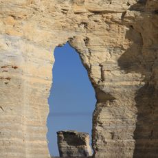
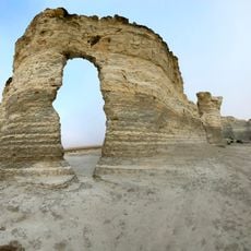
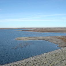
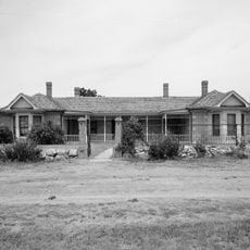
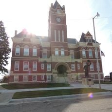
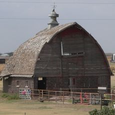
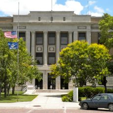
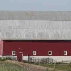
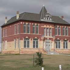
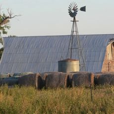
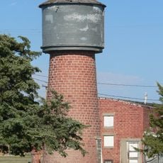
Sheridan County, county in Kansas, United States

Location: Kansas

Inception: 1880

Capital city: Hoxie

Shares border with: Decatur County, Gove County, Norton County, Graham County, Thomas County

Website: http://accesskansas.org/sheridan

GPS coordinates: 39.35000,-100.43300

Latest update: March 4, 2025 05:32

Around this place
Show the full map
Monument Rocks
United States of America

Monument Rocks

68.5 km
Smoky Hill Chalk Member
United States of America

Smoky Hill Chalk Member

75.2 km
Little Jerusalem Badlands State Park
United States of America

Little Jerusalem Badlands State Park

75.2 km
Cedar Bluff Reservoir
United States of America

Cedar Bluff Reservoir

84.5 km
Cottonwood Ranch
United States of America

Cottonwood Ranch

22.3 km
Norton County meteorite
United States of America

Norton County meteorite

61.2 km
Prairie Dog State Park
United States of America

Prairie Dog State Park

65.5 km
St. Joseph Catholic Church
United States of America

St. Joseph Catholic Church

73 km
English Lutheran Church
United States of America

English Lutheran Church

81.2 km
Grainfield Opera House
United States of America

Grainfield Opera House

26.5 km
Oakley High School Stadium
United States of America

Oakley High School Stadium

43.8 km
Bank of Oberlin
United States of America

Bank of Oberlin

52.9 km
Thomas County Courthouse
United States of America

Thomas County Courthouse

52.7 km
Beamer Barn
United States of America

Beamer Barn

37.5 km
Shirley Opera House
United States of America

Shirley Opera House

72.9 km
Norton Downtown Historic District
United States of America

Norton Downtown Historic District

70.9 km
Shafer Barn
United States of America

Shafer Barn

13.9 km
Lipp Barn
United States of America

Lipp Barn

45.9 km
Barbeau House
United States of America

Barbeau House

47.2 km
Norcatur City Hall
United States of America

Norcatur City Hall

58.1 km
Oxley Barn
United States of America

Oxley Barn

35.1 km
Old Logan County Courthouse
United States of America

Old Logan County Courthouse

80.8 km
North Fork Solomon River Lattice Truss Bridge
United States of America

North Fork Solomon River Lattice Truss Bridge

70.7 km
Harry Keith Barn
United States of America

Harry Keith Barn

40.4 km
Collyer Downtown Historic District
United States of America

Collyer Downtown Historic District

44.1 km
Nicodemus National Historic Site
United States of America

Nicodemus National Historic Site

70.5 km
Fick Fossil and History Museum
United States of America

Fick Fossil and History Museum

44.5 km
Castle Rock Badlands
United States of America

Castle Rock Badlands

59.2 km
Show the full map

Reviews

Visited this place? Tap the stars to rate it and share your experience / photos with the community! Try now! You can cancel it anytime.

Administrative divisions
« Sheridan County - county in Kansas, United States » is provided by Around Us (aroundus.com). Images and texts are derived from Wikimedia project under a Creative Commons license. You are allowed to copy, distribute, and modify copies of this page, under the conditions set by the license, as long as this note is clearly visible.

Discover hidden gems everywhere you go!

From secret cafés to breathtaking viewpoints, skip the crowded tourist spots and find places that match your style. Our app makes it easy with voice search, smart filtering, route optimization, and insider tips from travelers worldwide. Download now for the complete mobile experience.

Around Us App Screenshot

A unique approach to discovering new places

Le Figaro

All the places worth exploring

France Info

A tailor-made excursion in just a few clicks

20 Minutes