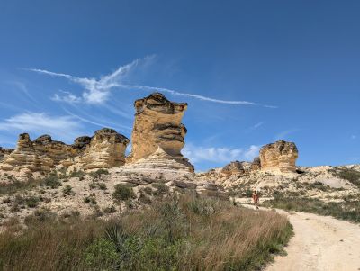
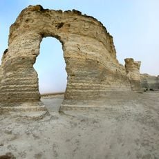
Castle Rock Badlands, Rock formation in Quinter, Kansas, United States.
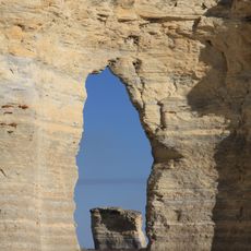
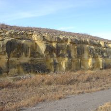
Castle Rock Badlands is a chalk rock formation that rises about 70 feet (21 m) above the flat prairie with steep crevices and distinctive pillars throughout its landscape. The terrain displays irregular patterns of erosion channels carved by water and wind action over millennia.
The chalk formation dates back about 80 million years to the Niobrara period when this area lay beneath a shallow sea. The site later became a recognizable landmark for travelers on the Butterfield Overland Despatch route during the settlement of the American West.
The white chalk pillars have captured local imagination for generations and inspired regional names and stories among the communities of western Kansas. Visitors and residents connect this place with the raw character of the prairie landscape.
The unpaved roads to the formation become slippery and difficult to drive on, particularly after rain, so careful driving is necessary. Visitors should wear shoes with good traction and be aware that the ground surface is uneven and can be unstable in places.
The tallest chalk spire at the site collapsed during a thunderstorm in 2001, demonstrating the ongoing natural erosion reshaping these ancient formations. Such events show that the badlands remain dynamic, constantly changing through weathering and water action.
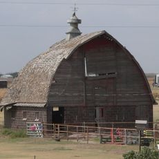
The community of curious travelers
AroundUs brings together thousands of curated places, local tips, and hidden gems, enriched daily by 60,000 contributors worldwide.