Enable Location

We need your location to show you interesting places around you

Discover nearby places

Find interesting locations and hidden gems around you

Precise directions

Get accurate directions and distances to places

Your location is never shared with other users. It's only used when you tap the location button.

Phillips County

Log in to your account

Start exploring — it's free

Trusted by 61,508 travelers worldwide

Continue with Google
Continue with Apple
or

We will send you a code to connect

By continuing, you accept our Terms and Conditions and our Privacy Policy

Check your inbox

We've sent a pincode in your inbox. Please enter the code below.

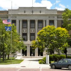
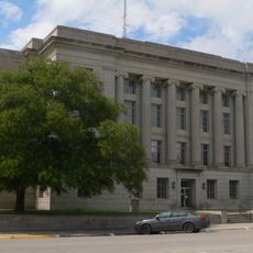
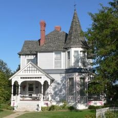
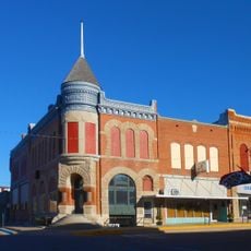
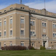
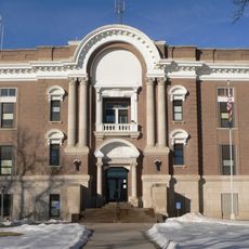
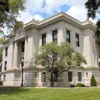
Phillips County, County in Kansas, United States

Description

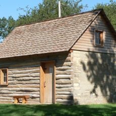
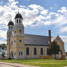
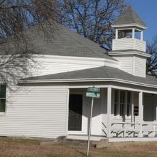
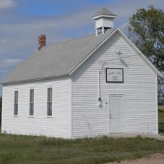
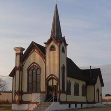
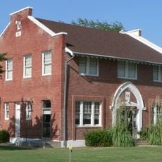
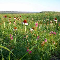
Phillips County is an administrative division in northern Kansas with extensive agricultural land and Phillipsburg serving as its county seat. The landscape consists mainly of open plains and farmland that define the region's character.

History

The county was established in 1867 and named after William Phillips, a journalist and officer who supported the free-state movement during the Civil War. Its founding marked the beginning of organized settlement in this region of Kansas.

Culture

The community here centers on farming and rural traditions that still shape daily life and local gatherings today. Agricultural seasons and harvest time mark important moments when people come together.

Practical

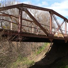
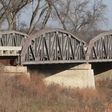
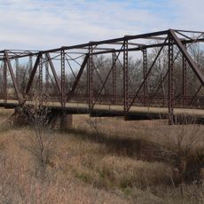
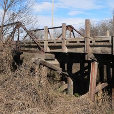
This area is best explored by car, as the county spans wide open spaces with scattered small towns. The most pleasant time to visit is spring through fall when weather is mild and the farmland is actively worked.

Did you know?

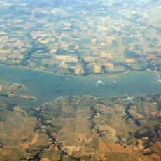
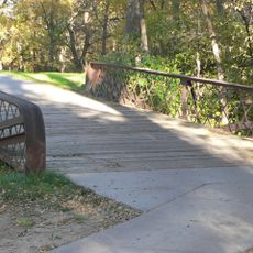
The Kirwin National Wildlife Refuge lies within the county and serves as a haven for native species and migrating birds. Birdwatchers find this area particularly rewarding for spotting various wildlife in their natural surroundings.

Location
Inception
February 26, 1867
Capital city
Phillipsburg
Shares border with
Harlan County, Rooks County, Franklin County, Smith County, Graham County, Norton County
GPS coordinates
39.80000,-99.35000
Latest update
December 10, 2025 16:02

AroundUs brings together thousands of curated places, local tips, and hidden gems, enriched daily by 60,000 contributors worldwide. Discover all places nearby (Kansas).

Around this place
Geographic center of the contiguous United States
United States of America

Geographic center of the contiguous United States

66 km
Harlan County Reservoir
United States of America

Harlan County Reservoir

29.8 km
Norton County meteorite
United States of America

Norton County meteorite

46.1 km
Home on the Range Cabin
United States of America

Home on the Range Cabin

35.8 km
Prairie Dog State Park
United States of America

Prairie Dog State Park

51.4 km
St. Joseph Catholic Church
United States of America

St. Joseph Catholic Church

57.3 km
Prairie Dog Creek Bridge
United States of America

Prairie Dog Creek Bridge

25.3 km
Franklin Bridge
United States of America

Franklin Bridge

45.8 km
First Congregational Church, U.C.C.
United States of America

First Congregational Church, U.C.C.

35.7 km
Pleasant Ridge Church
United States of America

Pleasant Ridge Church

22.3 km
Natoma Presbyterian Church
United States of America

Natoma Presbyterian Church

73.6 km
Norton Downtown Historic District
United States of America

Norton Downtown Historic District

46.2 km
Rooks County Courthouse
United States of America

Rooks County Courthouse

40.9 km
Barbeau House
United States of America

Barbeau House

59.5 km
First National Bank Building
United States of America

First National Bank Building

48.3 km
Alma City Auditorium and Sale Barn
United States of America

Alma City Auditorium and Sale Barn

33.1 km
Franklin County Courthouse
United States of America

Franklin County Courthouse

47.3 km
Norcatur City Hall
United States of America

Norcatur City Hall

72 km
Phelps County Courthouse
United States of America

Phelps County Courthouse

71.2 km
North Fork Solomon River Lattice Truss Bridge
United States of America

North Fork Solomon River Lattice Truss Bridge

45.1 km
Kirwin City Hall
United States of America

Kirwin City Hall

24.1 km
Pottawatomie County Fair Pavilion
United States of America

Pottawatomie County Fair Pavilion

33.8 km
Osborne Public Carnegie Library
United States of America

Osborne Public Carnegie Library

68.9 km
Nicodemus National Historic Site
United States of America

Nicodemus National Historic Site

50.8 km
Kirwin National Wildlife Refuge
United States of America

Kirwin National Wildlife Refuge

22.7 km
Farmer's Bridge
United States of America

Farmer's Bridge

59.8 km
Turkey Creek Bridge
United States of America

Turkey Creek Bridge

54.9 km
Sappa Creek Bridge
United States of America

Sappa Creek Bridge

40.9 km
Show the full map
Administrative divisions
« Phillips County - County in Kansas, United States » is provided by Around Us (aroundus.com). Images and texts are derived from Wikimedia project under a Creative Commons license. You are allowed to copy, distribute, and modify copies of this page, under the conditions set by the license, as long as this note is clearly visible.

Discover hidden gems everywhere you go!

From secret cafés to breathtaking viewpoints, skip the crowded tourist spots and find places that match your style. Our app makes it easy with voice search, smart filtering, route optimization, and insider tips from travelers worldwide. Download now for the complete mobile experience.

Around Us App Screenshot

A unique approach to discovering new places

Le Figaro

All the places worth exploring

France Info

A tailor-made excursion in just a few clicks

20 Minutes

Around Us
Travel Guide & Maps
Download

Send to your phone

QR Code
1

Open the camera app on your mobile.

2

Point at the QR code with your camera. A notification will appear.

3

Tap the notification to open the link.