Enable Location

We need your location to show you interesting places around you

Discover nearby places

Find interesting locations and hidden gems around you

Precise directions

Get accurate directions and distances to places

Your location is never shared with other users. It's only used when you tap the location button.

Wallace County

Log in to your account

Start exploring — it's free

Trusted by 61,502 travelers worldwide

Continue with Google
Continue with Apple
or

We will send you a code to connect

By continuing, you accept our Terms and Conditions and our Privacy Policy

Check your inbox

We've sent a pincode in your inbox. Please enter the code below.

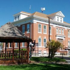
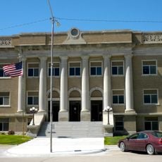
Wallace County, Administrative county in Kansas, United States.

Description

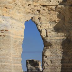
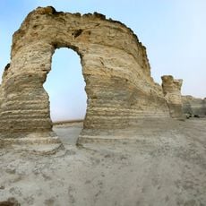
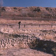
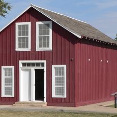
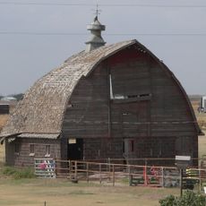
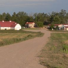
Wallace County is an administrative county in western Kansas with vast prairies, agricultural land, and scattered ranches spread across its territory. The landscape consists mainly of open grassland with few towns, and the entire county sits at considerable elevation in the western plains.

History

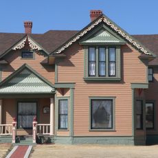
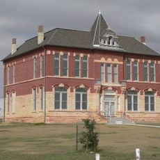
The county was established in 1888 as settlements expanded westward into Kansas. It was named after a Civil War general and became a center for farming and ranching in the western plains.

Culture

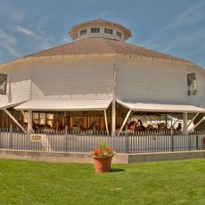
The area shows strong ties to farming, with community events and gatherings that bring people together around agricultural work. Residents maintain these rural traditions through shared knowledge and mutual support in their daily lives.

Practical

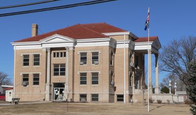
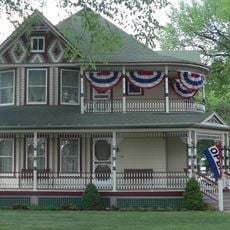
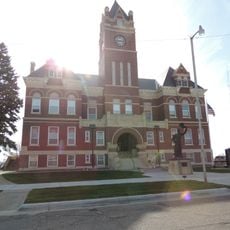
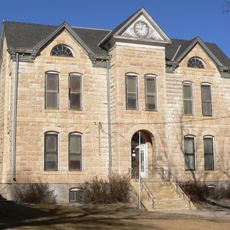
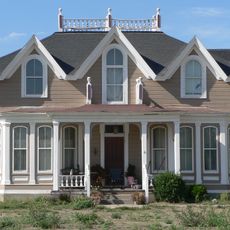
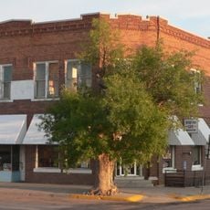
Sharon Springs is the county seat and main town, offering basic services and supplies for visitors passing through the area. The region is sparsely populated, so you will need a vehicle to explore the wide open landscape effectively.

Did you know?

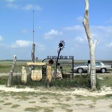
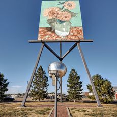
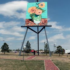
Mount Sunflower near the Colorado border is the highest point in Kansas, yet it looks nothing like a traditional mountain. Most travelers pass through the area without realizing they are near this geographic landmark.

Location
Inception
1888
Capital city
Sharon Springs
Shares border with
Sherman County, Greeley County, Logan County, Wichita County, Kit Carson County, Cheyenne County
GPS coordinates
38.76444,-101.57583
Latest update
December 7, 2025 20:41

AroundUs brings together thousands of curated places, local tips, and hidden gems, enriched daily by 60,000 contributors worldwide. Discover all places nearby (Kansas).

Around this place
Mount Sunflower
United States of America

Mount Sunflower

49.2 km
Monument Rocks
United States of America

Monument Rocks

70.7 km
Smoky Hill Chalk Member
United States of America

Smoky Hill Chalk Member

55.1 km
Little Jerusalem Badlands State Park
United States of America

Little Jerusalem Badlands State Park

55.1 km
Lake Scott State Park
United States of America

Lake Scott State Park

58.1 km
Elitch Gardens Carousel
United States of America

Elitch Gardens Carousel

85.4 km
Minor Sod House
United States of America

Minor Sod House

94.5 km
English Lutheran Church
United States of America

English Lutheran Church

37.1 km
El Quartelejo Ruins
United States of America

El Quartelejo Ruins

58.3 km
Mary Seaman Ennis House
United States of America

Mary Seaman Ennis House

65.9 km
Oakley High School Stadium
United States of America

Oakley High School Stadium

74.6 km
Pond Creek Station
United States of America

Pond Creek Station

16.2 km
Goodland City Library
United States of America

Goodland City Library

65.9 km
Thomas County Courthouse
United States of America

Thomas County Courthouse

84 km
Beamer Barn
United States of America

Beamer Barn

82 km
Ruleton School
United States of America

Ruleton School

69.7 km
Greeley County Courthouse
United States of America

Greeley County Courthouse

36 km
Clark–Robidoux House
United States of America

Clark–Robidoux House

16.9 km
Kuhrt Ranch
United States of America

Kuhrt Ranch

83.8 km
Henry Hickert Building
United States of America

Henry Hickert Building

109.8 km
Cheyenne County Courthouse
United States of America

Cheyenne County Courthouse

67.3 km
Cheyenne County Courthouse
United States of America

Cheyenne County Courthouse

114.1 km
William B. and Julia Washington House
United States of America

William B. and Julia Washington House

36.6 km
Old Logan County Courthouse
United States of America

Old Logan County Courthouse

38.1 km
Old Town Museum
United States of America

Old Town Museum

84.2 km
Fick Fossil and History Museum
United States of America

Fick Fossil and History Museum

73.9 km
World's Largest Easel
United States of America

World's Largest Easel

64.8 km
Giant van Gogh Painting
United States of America

Giant van Gogh Painting

64.8 km
Show the full map
Administrative divisions
« Wallace County - Administrative county in Kansas, United States » is provided by Around Us (aroundus.com). Images and texts are derived from Wikimedia project under a Creative Commons license. You are allowed to copy, distribute, and modify copies of this page, under the conditions set by the license, as long as this note is clearly visible.

Discover hidden gems everywhere you go!

From secret cafés to breathtaking viewpoints, skip the crowded tourist spots and find places that match your style. Our app makes it easy with voice search, smart filtering, route optimization, and insider tips from travelers worldwide. Download now for the complete mobile experience.

Around Us App Screenshot

A unique approach to discovering new places

Le Figaro

All the places worth exploring

France Info

A tailor-made excursion in just a few clicks

20 Minutes

Around Us
Travel Guide & Maps
Download

Send to your phone

QR Code
1

Open the camera app on your mobile.

2

Point at the QR code with your camera. A notification will appear.

3

Tap the notification to open the link.