Riley County

Log in to your account

AroundUs is a community-driven map of interesting places, built by curious explorers like you. It grows with every review, story, and photo you share.
Connect to save your favorite spots, contribute locations, and create personalized routes.
Continue with Google
Continue with Apple
Continue with X
Continue with Facebook
Continue with email
By continuing, you accept our Terms and Conditions and our Privacy Policy
Create an account
Add to collection
Map
Suggest a change
Share

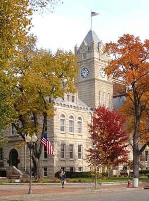
Riley County, Administrative division in Kansas, United States

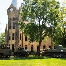
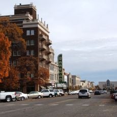
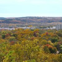
The county spreads across several hundred square miles in northeastern Kansas and includes the city of Manhattan and Fort Riley military installation. Both serve as centers of activity and administration in this area.

The county was established in 1855 by the territorial legislature and named after a general from the Mexican-American War. This founding was part of the early settlement and administration of the Kansas Territory.

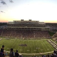
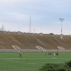
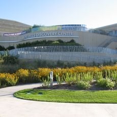
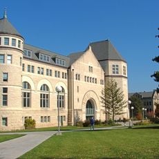
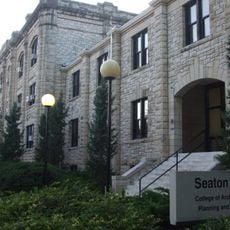
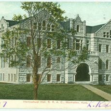
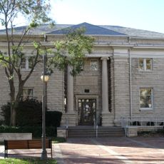
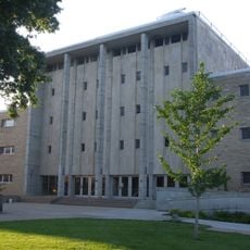
Kansas State University in Manhattan shapes life in this region and draws students and visitors to the area. The institution and its research facilities are an important part of daily life for many people here.

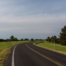
The area is easily reached via Interstate 70 and several US highways, connecting to other regions. Main transportation routes allow visitors to explore the county and its different locations easily.

The county is managed by its own police department rather than an elected sheriff, as found in most other counties. This unusual arrangement is often surprising to visitors accustomed to typical US county law enforcement structures.

Location: Kansas

Inception: August 25, 1855

Capital city: Manhattan

Shares border with: Washington County, Geary County, Marshall County, Pottawatomie County, Wabaunsee County, Clay County

Website: http://RileyCountyKS.gov

GPS coordinates: 39.11306,-96.62806

Latest update: December 7, 2025 10:08

Photos
Around this place
Bill Snyder Family Football Stadium
United States of America

Bill Snyder Family Football Stadium

10.3 km
Tuttle Creek Lake
United States of America

Tuttle Creek Lake

24.7 km
Johnny Kaw
United States of America

Johnny Kaw

8.8 km
World War I Memorial Stadium
United States of America

World War I Memorial Stadium

9.1 km
Konza Prairie
United States of America

Konza Prairie

6.4 km
Flint Hills Discovery Center
United States of America

Flint Hills Discovery Center

9.2 km
United States of America

Sunset Zoo

7.7 km
First Territorial Capitol of Kansas
United States of America

First Territorial Capitol of Kansas

12 km
Hale Library
United States of America

Hale Library

9.5 km
U.S. Cavalry Museum
United States of America

U.S. Cavalry Museum

14.4 km
Anderson Hall
United States of America

Anderson Hall

9.3 km
Seven Dolors Catholic Church
United States of America

Seven Dolors Catholic Church

9 km
Seaton Hall
United States of America

Seaton Hall

9.4 km
Goodnow House
United States of America

Goodnow House

9.3 km
First Congregational Church
United States of America

First Congregational Church

9.2 km
Dickens Hall
United States of America

Dickens Hall

9.6 km
Manhattan Carnegie Library Building
United States of America

Manhattan Carnegie Library Building

9.1 km
Milford State Park
United States of America

Milford State Park

23.5 km
Conroe Bridge
United States of America

Conroe Bridge

11.4 km
Downtown Manhattan Historic District
United States of America

Downtown Manhattan Historic District

9.3 km
Jeremiah Platt House
United States of America

Jeremiah Platt House

9.4 km
E. A. and Ura Wharton House
United States of America

E. A. and Ura Wharton House

9.3 km
Bluemont Hall
United States of America

Bluemont Hall

9.6 km
Woman's Club House
United States of America

Woman's Club House

8.9 km
Cardwell Hall
United States of America

Cardwell Hall

9.7 km
John McKimmons Barn
United States of America

John McKimmons Barn

35.8 km
Hy-Vee
United States of America

Hy-Vee

9.9 km
Houston and Pierre Streets Residential Historic District
United States of America

Houston and Pierre Streets Residential Historic District

8.9 km
Show the full map
Reviews

Visited this place? Tap the stars to rate it and share your experience / photos with the community! Try now! You can cancel it anytime.

Administrative divisions
« Riley County - Administrative division in Kansas, United States » is provided by Around Us (aroundus.com). Images and texts are derived from Wikimedia project under a Creative Commons license. You are allowed to copy, distribute, and modify copies of this page, under the conditions set by the license, as long as this note is clearly visible.

Discover hidden gems everywhere you go!

From secret cafés to breathtaking viewpoints, skip the crowded tourist spots and find places that match your style. Our app makes it easy with voice search, smart filtering, route optimization, and insider tips from travelers worldwide. Download now for the complete mobile experience.

Around Us App Screenshot

A unique approach to discovering new places

Le Figaro

All the places worth exploring

France Info

A tailor-made excursion in just a few clicks

20 Minutes