Franklin County

Log in to your account

AroundUs is a community-driven map of interesting places, built by curious explorers like you. It grows with every review, story, and photo you share.
Connect to save your favorite spots, contribute locations, and create personalized routes.
By continuing, you accept our Terms and Conditions and our Privacy Policy
Add to collection
Map
Suggest a change
Share

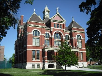
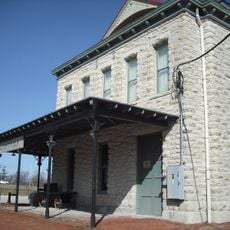
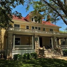
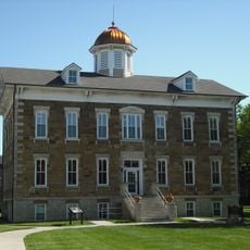
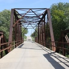
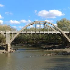
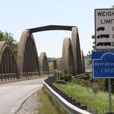
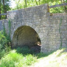
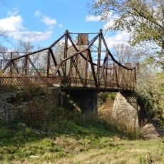
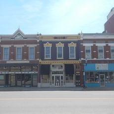
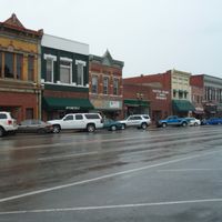
Franklin County, Administrative division in eastern Kansas, United States

Franklin County is an administrative division in eastern Kansas comprising agricultural lands, residential areas, and government buildings centered around Ottawa. The county includes several communities and rural areas that together form the local governance structure.

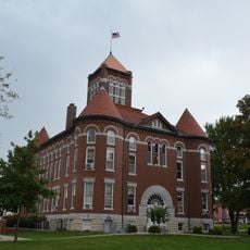
Franklin County was established in 1855 as one of the original 33 counties of Kansas Territory, marking the start of formal local administration. Its creation reflected the early organization of the territory to support settlement and development.

The annual Agriculture and Community Fair brings together farmers, artisans, and residents to display regional products and local farming traditions. This gathering reflects how agriculture remains central to community life in the area.

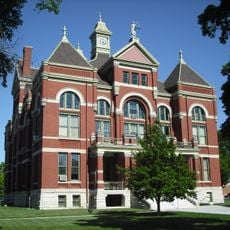
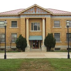
The Franklin County Administrative Office in Ottawa serves residents with services including tax payments, permits, and official documentation during business hours. Visitors can access key administrative services through established office hours on weekdays.

The county operates specialized departments for environmental health, juvenile services, and emergency management that form an integrated administrative system. These departments work together to address the diverse needs of the population.

Location: Kansas

Inception: August 30, 1855

Capital city: Ottawa

Shares border with: Douglas County, Anderson County, Johnson County, Miami County, Linn County, Coffey County, Osage County

Website: http://FranklinCoKS.org

GPS coordinates: 38.58330,-95.28330

Latest update: December 7, 2025 20:25

Photos
Around this place
Hillsdale Lake
United States of America

Hillsdale Lake

33.8 km
Lone Star Lake
United States of America

Lone Star Lake

29.1 km
Dietrich Cabin
United States of America

Dietrich Cabin

3.4 km
The Plaza Grill and Cinema
United States of America

The Plaza Grill and Cinema

15 km
Old Depot Museum
United States of America

Old Depot Museum

4.3 km
Liston Stadium
United States of America

Liston Stadium

23.4 km
Sennett and Bertha Kirk House
United States of America

Sennett and Bertha Kirk House

33.8 km
Peoples Bank Field
United States of America

Peoples Bank Field

2.8 km
Anderson County Courthouse
United States of America

Anderson County Courthouse

34 km
United States of America

Atchison, Topeka, and Santa Fe Pratt Truss Bridge

31.9 km
Jackson Hotel
United States of America

Jackson Hotel

35.1 km
Tauy Jones Hall
United States of America

Tauy Jones Hall

2.9 km
Tauy Jones House
United States of America

Tauy Jones House

10.5 km
Old Castle Hall
United States of America

Old Castle Hall

23.2 km
Franklin County Courthouse
United States of America

Franklin County Courthouse

3.6 km
Stony Point Evangelical Lutheran Church
United States of America

Stony Point Evangelical Lutheran Church

27.6 km
Vinland Presbyterian Church
United States of America

Vinland Presbyterian Church

29.9 km
Vinland Grange Hall
United States of America

Vinland Grange Hall

29.8 km
Ottawa Library
United States of America

Ottawa Library

3 km
Carey’s Ford Bridge
United States of America

Carey’s Ford Bridge

22.8 km
Midland Railway Baldwin City Depot
United States of America

Midland Railway Baldwin City Depot

22.5 km
John Brown Museum State Historic Site
United States of America

John Brown Museum State Historic Site

29.8 km
Black Jack Battlefield
United States of America

Black Jack Battlefield

23.9 km
Creamery Bridge
United States of America

Creamery Bridge

29.9 km
Pottawatomie Creek Bridge
United States of America

Pottawatomie Creek Bridge

30.9 km
Chicken Creek Bridge
United States of America

Chicken Creek Bridge

30.4 km
Asylum Bridge
United States of America

Asylum Bridge

31 km
Historic Ottawa Central Business District
United States of America

Historic Ottawa Central Business District

3.8 km
Show the full map
Reviews

Visited this place? Tap the stars to rate it and share your experience / photos with the community! Try now! You can cancel it anytime.

Administrative divisions
« Franklin County - Administrative division in eastern Kansas, United States » is provided by Around Us (aroundus.com). Images and texts are derived from Wikimedia project under a Creative Commons license. You are allowed to copy, distribute, and modify copies of this page, under the conditions set by the license, as long as this note is clearly visible.

Discover hidden gems everywhere you go!

From secret cafés to breathtaking viewpoints, skip the crowded tourist spots and find places that match your style. Our app makes it easy with voice search, smart filtering, route optimization, and insider tips from travelers worldwide. Download now for the complete mobile experience.

Around Us App Screenshot

A unique approach to discovering new places

Le Figaro

All the places worth exploring

France Info

A tailor-made excursion in just a few clicks

20 Minutes