Greene County, County in Iowa, United States
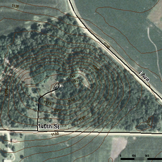
Greene County spans roughly 571 square miles across central Iowa with farmland dominating the landscape. Jefferson serves as the county seat and main commercial center for the region.
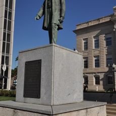
Established in 1851, the county was named after General Nathanael Greene, a Revolutionary War military commander. This timing reflected Iowa's rapid settlement during the westward expansion period of the mid-1800s.
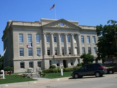
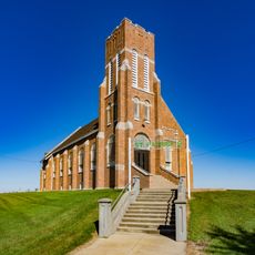
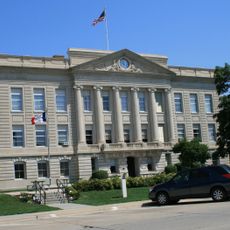
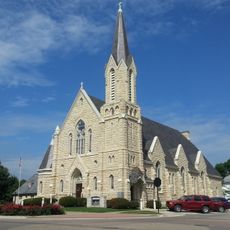
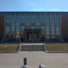
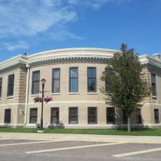
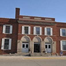
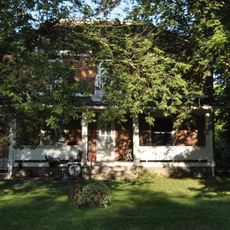
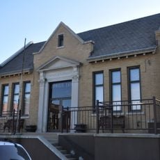
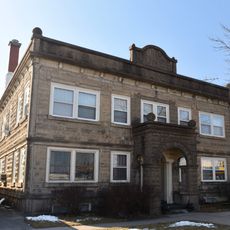
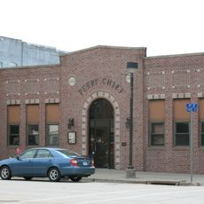
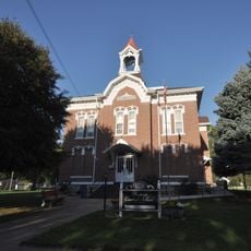
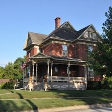
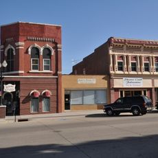
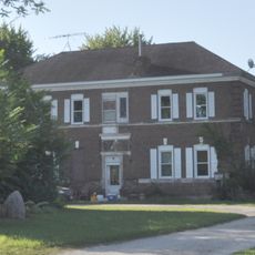
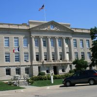
The county seat displays early 1900s buildings that reflect how the community valued permanence and civic pride. The county courthouse from 1917 remains a focal point for residents and visitors alike.
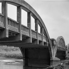
U.S. Highway 30 and several state highways connect the county's communities and serve as the main routes for travel. These roads provide good access to visit the county seat and explore the surrounding towns.
Early court proceedings took place in a log cabin southeast of Jefferson before the permanent courthouse was built in 1856. This humble beginning reveals how quickly the settlement transformed from temporary structures to lasting buildings.
The community of curious travelers
AroundUs brings together thousands of curated places, local tips, and hidden gems, enriched daily by 60,000 contributors worldwide.