Enable Location

We need your location to show you interesting places around you

Discover nearby places

Find interesting locations and hidden gems around you

Precise directions

Get accurate directions and distances to places

Your location is never shared with other users. It's only used when you tap the location button.

Albemarle County

Log in to your account

Start exploring — it's free

Trusted by 61,994 travelers worldwide

Continue with Google
Continue with Apple
or

We will send you a code to connect

By continuing, you accept our Terms and Conditions and our Privacy Policy

Check your inbox

We've sent a pincode in your inbox. Please enter the code below.

Albemarle County, Administrative county in Virginia, United States

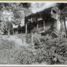
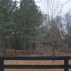
Albemarle County stretches across a hilly landscape between the Piedmont and the foothills of the Blue Ridge Mountains in Virginia. The area is crossed by forests, farms and smaller communities that spread along the river valleys.

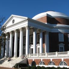
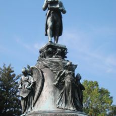
The Virginia General Assembly founded this administrative unit in 1744 and named it after Willem Anne van Keppel, the second Earl of Albemarle. In the following decades, the area became a center of tobacco farming and played an important role in early American history.

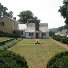
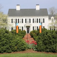
The landscape follows the gentle hills of the Piedmont, where vineyards and orchards grow along the country roads and shape the character of the region. Many residents here maintain a close connection to farming and to the history of the founding era.

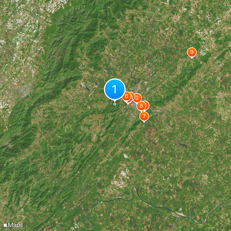
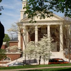
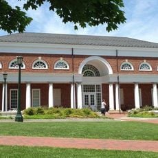
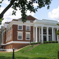
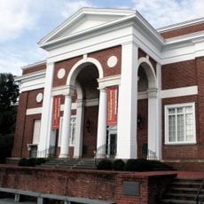
The area is best explored by car, as many sites and parks are spread across country roads. Charlottesville serves as a central starting point for visits throughout the region and offers most public facilities.

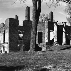
The Rivanna River flows through the area and forms natural boundaries that have shaped settlement patterns since colonial times. Along its banks, the first mills and trading posts of the region emerged.

The community of curious travelers

AroundUs brings together thousands of curated places, local tips, and hidden gems, enriched daily by 60,000 contributors worldwide.

Start exploring
Location
Inception
May 6, 1744
Capital city
Charlottesville
Shares border with
Greene County, Orange County, Louisa County, Fluvanna County, Buckingham County, Nelson County, Augusta County, Rockingham County, Charlottesville
GPS coordinates
38.03000,-78.56000
Latest update
December 13, 2025 19:25
Around this place
Monticello
United States of America

Monticello

9.7 km
Robert Edward Lee sculpture
United States of America

Robert Edward Lee sculpture

7 km
The Rotunda
United States of America

The Rotunda

5 km
Scott Stadium
United States of America

Scott Stadium

4.1 km
National Radio Astronomy Observatory
United States of America

National Radio Astronomy Observatory

3.8 km
Highland
United States of America

Highland

10.8 km
Michie Tavern
United States of America

Michie Tavern

8.7 km
Barboursville
United States of America

Barboursville

28.6 km
Market Street Park
United States of America

Market Street Park

7 km
Mirador
United States of America

Mirador

17.3 km
Grand Caverns
United States of America

Grand Caverns

35.2 km
Bremo Historic District
United States of America

Bremo Historic District

39.5 km
Brown College at Monroe Hill
United States of America

Brown College at Monroe Hill

4.6 km
Klöckner Stadium
United States of America

Klöckner Stadium

4.6 km
McCormick Observatory
United States of America

McCormick Observatory

3.3 km
Pine Knot
United States of America

Pine Knot

20.3 km
Albert and Shirley Small Special Collections Library
United States of America

Albert and Shirley Small Special Collections Library

4.8 km
Thomas Jefferson
United States of America

Thomas Jefferson

5 km
Memorial Gymnasium (Virginia)
United States of America

Memorial Gymnasium (Virginia)

4.7 km
Meriwether Lewis and William Clark Sculpture
United States of America

Meriwether Lewis and William Clark Sculpture

6.8 km
Farmington
United States of America

Farmington

3.9 km
The Aviator
United States of America

The Aviator

4.8 km
Fralin Museum of Art
United States of America

Fralin Museum of Art

5.1 km
Equestrian statue of Stonewall Jackson
United States of America

Equestrian statue of Stonewall Jackson

7.4 km
Lambeth Field
United States of America

Lambeth Field

5.1 km
Kluge-Ruhe Aboriginal Art Collection
United States of America

Kluge-Ruhe Aboriginal Art Collection

10.3 km
United States of America

Biscuit Run State Park

5.1 km
United States of America

Deep Run Ponds Natural Area Preserve

33.3 km
Show the full map
Administrative divisions
« Albemarle County - Administrative county in Virginia, United States » is provided by Around Us (aroundus.com). Images and texts are derived from Wikimedia project under a Creative Commons license. You are allowed to copy, distribute, and modify copies of this page, under the conditions set by the license, as long as this note is clearly visible.

Discover hidden gems everywhere you go!

From secret cafés to breathtaking viewpoints, skip the crowded tourist spots and find places that match your style. Our app makes it easy with voice search, smart filtering, route optimization, and insider tips from travelers worldwide. Download now for the complete mobile experience.

Around Us App Screenshot

A unique approach to discovering new places

Le Figaro

All the places worth exploring

France Info

A tailor-made excursion in just a few clicks

20 Minutes

Around Us
Travel Guide & Maps
Download

Send to your phone

QR Code
1

Open the camera app on your mobile.

2

Point at the QR code with your camera. A notification will appear.

3

Tap the notification to open the link.