
Richardson County, Administrative county in southeastern Nebraska, United States
Richardson County covers 552 square miles of land with rolling hills and agricultural fields along the Missouri River border.
The county, established in 1855, received its name from William A. Richardson, an Illinois Representative who supported the Kansas-Nebraska Act.
The Richardson County population maintains agricultural traditions through community events and farming practices centered around corn and soybean production.
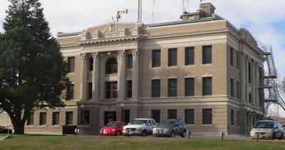
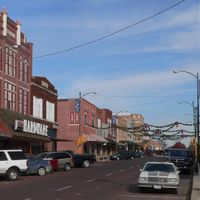
Falls City, the county seat, provides governmental services at the courthouse located at 1700 Stone Street, operating weekdays from 8:30 am to 5:00 pm.
The county contains the lowest elevation point in Nebraska, situated along its eastern boundary at the Missouri River.
Location: Nebraska
Inception: 1855
Capital city: Falls City
Shares border with: Nemaha County, Brown County, Pawnee County, Doniphan County, Nemaha County, Holt County
Website: http://co.richardson.ne.us
GPS coordinates: 40.12000,-95.72000
Latest update: March 8, 2025 17:53
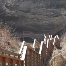
Indian Cave State Park
20.4 km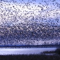
Loess Bluffs National Wildlife Refuge
42.4 km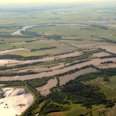
Big Lake State Park
32.3 km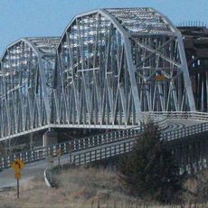
Rulo Bridge
26.5 km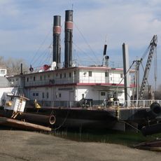
Captain Meriwether Lewis
31.1 km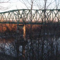
Brownville Bridge
31.6 km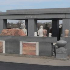
Davis Memorial
34.8 km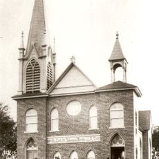
St. John's Evangelical Lutheran Church
26.7 km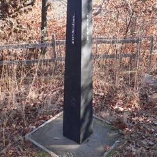
Site No. RH00-062
35.7 km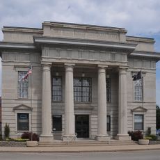
Atchison County Memorial Building
36.8 km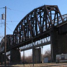
Rulo Rail Bridge
26.5 km
St. John's Lutheran Church Complex
31.1 km
Rad Jan Kollar cis 101 Z.C.B.J.
29.9 km
Old Albany Schoolhouse
21.1 km
Itha T. Krumme Memorial Arboretum
10.8 km
John Holman House
20 km
First United Presbyterian Church
31.4 km
John W. Bennett House
30.5 km
White Cloud Historic District
39.4 km
John Dickinson Dopf Mansion
36.7 km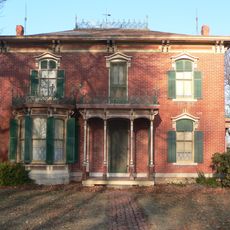
Wilber T. Reed House
32.1 km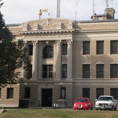
Richardson County Courthouse
11.9 km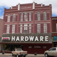
Gehling's Theatre
12 km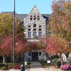
Nemaha County Courthouse
31.4 km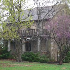
Lindsley House
32.9 km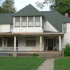
Gov. Arthur J. Weaver House
12.2 km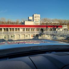
River Inn Resort
30.9 km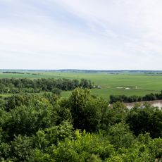
Four State Lookout
39.1 kmReviews
Visited this place? Tap the stars to rate it and share your experience / photos with the community! Try now! You can cancel it anytime.
Discover hidden gems everywhere you go!
From secret cafés to breathtaking viewpoints, skip the crowded tourist spots and find places that match your style. Our app makes it easy with voice search, smart filtering, route optimization, and insider tips from travelers worldwide. Download now for the complete mobile experience.

A unique approach to discovering new places❞
— Le Figaro
All the places worth exploring❞
— France Info
A tailor-made excursion in just a few clicks❞
— 20 Minutes