Enable Location

We need your location to show you interesting places around you

Discover nearby places

Find interesting locations and hidden gems around you

Precise directions

Get accurate directions and distances to places

Your location is never shared with other users. It's only used when you tap the location button.

Richardson County

Log in to your account

Start exploring — it's free

Trusted by 63,740 travelers worldwide

Continue with Google
Continue with Apple
or

We will send you a code to connect

By continuing, you accept our Terms and Conditions and our Privacy Policy

Check your inbox

We've sent a pincode in your inbox. Please enter the code below.

Discussion Reviews 1 Photos
9.3k Popularity

Richardson County, Administrative county in southeastern Nebraska, United States

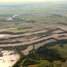
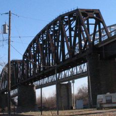
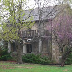
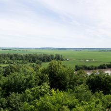
Richardson County is an administrative county in southeastern Nebraska with rolling terrain and farmland. The land extends along the Missouri River border where the landscape transitions between hills and river valleys.

The county was established in 1855 and named after William A. Richardson, an Illinois Representative who supported the Kansas-Nebraska Act. This founding reflected the period of westward expansion and settlement across the Great Plains.

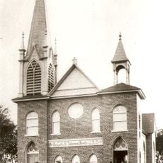
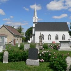
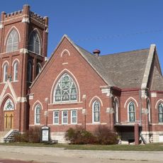
Communities throughout the county gather for local festivals and farmers markets where rural traditions remain visible in daily life and regional crafts. These gatherings form the core of how people connect with their surroundings and each other.

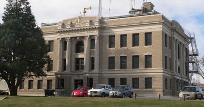
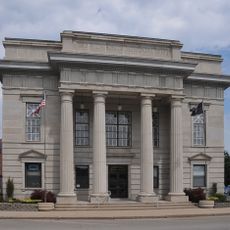
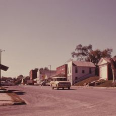
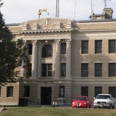
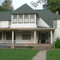
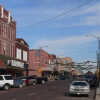
Falls City serves as the county seat and houses the main government buildings and courthouse. Most public services and local resources are centered in this town for visitors and residents.

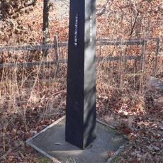
The county contains Nebraska's lowest elevation point along its eastern boundary at the Missouri River. This geographic feature makes it notable for those seeking out the state's most extreme geographic locations.

The community of curious travelers

AroundUs brings together thousands of curated places, local tips, and hidden gems, enriched daily by 60,000 contributors worldwide.

Start exploring
Location
Inception
1855
Capital city
Falls City
Shares border with
Nemaha County, Brown County, Pawnee County, Doniphan County, Nemaha County, Holt County
GPS coordinates
40.12000,-95.72000
Latest update
December 10, 2025 15:58
Around this place
Indian Cave State Park
United States of America

Indian Cave State Park

20.4 km
Loess Bluffs National Wildlife Refuge
United States of America

Loess Bluffs National Wildlife Refuge

42.4 km
Big Lake State Park
United States of America

Big Lake State Park

32.3 km
Rulo Bridge
United States of America

Rulo Bridge

26.5 km
Captain Meriwether Lewis
United States of America

Captain Meriwether Lewis

31.1 km
Brownville Bridge
United States of America

Brownville Bridge

31.6 km
Davis Memorial
United States of America

Davis Memorial

34.8 km
St. John's Evangelical Lutheran Church
United States of America

St. John's Evangelical Lutheran Church

26.7 km
Site No. RH00-062
United States of America

Site No. RH00-062

35.7 km
Atchison County Memorial Building
United States of America

Atchison County Memorial Building

36.8 km
Rulo Rail Bridge
United States of America

Rulo Rail Bridge

26.5 km
St. John's Lutheran Church Complex
United States of America

St. John's Lutheran Church Complex

31.1 km
Rad Jan Kollar cis 101 Z.C.B.J.
United States of America

Rad Jan Kollar cis 101 Z.C.B.J.

29.9 km
Old Albany Schoolhouse
United States of America

Old Albany Schoolhouse

21.1 km
Itha T. Krumme Memorial Arboretum
United States of America

Itha T. Krumme Memorial Arboretum

10.8 km
John Holman House
United States of America

John Holman House

20 km
First United Presbyterian Church
United States of America

First United Presbyterian Church

31.4 km
John W. Bennett House
United States of America

John W. Bennett House

30.5 km
White Cloud Historic District
United States of America

White Cloud Historic District

39.4 km
John Dickinson Dopf Mansion
United States of America

John Dickinson Dopf Mansion

36.7 km
Wilber T. Reed House
United States of America

Wilber T. Reed House

32.1 km
Richardson County Courthouse
United States of America

Richardson County Courthouse

11.9 km
Gehling's Theatre
United States of America

Gehling's Theatre

12 km
Nemaha County Courthouse
United States of America

Nemaha County Courthouse

31.4 km
Lindsley House
United States of America

Lindsley House

32.9 km
Gov. Arthur J. Weaver House
United States of America

Gov. Arthur J. Weaver House

12.2 km
River Inn Resort
United States of America

River Inn Resort

30.9 km
Four State Lookout
United States of America

Four State Lookout

39.1 km
Show the full map
Reviews
Share your experience

No review yet

Discussions
Start a discussion...

No discussion yet

Administrative divisions
« Richardson County - Administrative county in southeastern Nebraska, United States » is provided by Around Us (aroundus.com). Images and texts are derived from Wikimedia project under a Creative Commons license. You are allowed to copy, distribute, and modify copies of this page, under the conditions set by the license, as long as this note is clearly visible.

Discover hidden gems everywhere you go!

From secret cafés to breathtaking viewpoints, skip the crowded tourist spots and find places that match your style. Our app makes it easy with voice search, smart filtering, route optimization, and insider tips from travelers worldwide. Download now for the complete mobile experience.

Around Us App Screenshot

A unique approach to discovering new places

Le Figaro

All the places worth exploring

France Info

A tailor-made excursion in just a few clicks

20 Minutes

Around Us
Travel Guide & Maps
Download

Send to your phone

QR Code
1

Open the camera app on your mobile.

2

Point at the QR code with your camera. A notification will appear.

3

Tap the notification to open the link.