
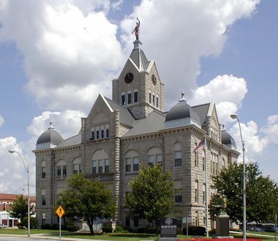
Polk County, County administration center in Bolivar, Missouri, US.
Polk County spreads across Missouri with a central location at latitude 37.62 and longitude -93.4, featuring agricultural lands and residential neighborhoods.
The Missouri State Legislature established Polk County on January 5, 1835, designating Bolivar as the administrative center for regional governance.
The county maintains multiple public spaces and administrative buildings where residents gather for commissioner meetings and community discussions.
The county offices handle property tax collection, vehicle registrations, and provide online resources through their official government website.
The Polk County Conservation Administration manages environmental programs and natural resources across the region through specialized departments.
Location: Missouri
Inception: January 5, 1835
Capital city: Bolivar
Shares border with: Hickory County, Greene County, Dallas County, St. Clair County, Dade County, Cedar County
Website: https://polkcountymo.gov
GPS coordinates: 37.62000,-93.40000
Latest update: March 10, 2025 15:36
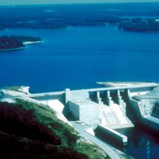
Stockton Lake
32.8 km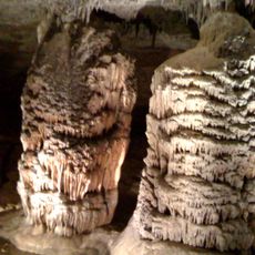
Fantastic Caverns
37.2 km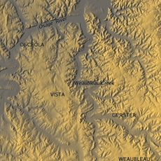
Weaubleau structure
45.4 km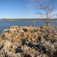
Pomme de Terre State Park
28.9 km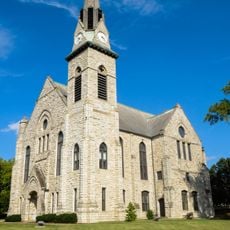
Stone Chapel
45.9 km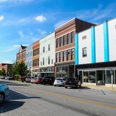
Commercial Street Historic District
44.5 km
Caplinger Mills Historic District
40.8 km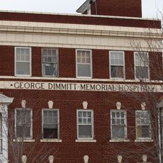
George Dimmitt Memorial Hospital
24.9 km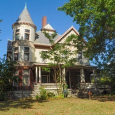
Bentley House
45.4 km
Springfield Public Square Historic District
46.3 km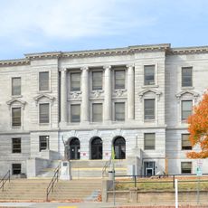
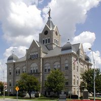
Greene County Courthouse
45.5 km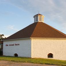
Gilmore Barn
34.5 km
Benton Avenue AME Church
45.9 km
Bolivar Public Library
1.2 km
U.S. Customhouse and Post Office
46 km
Lincoln School
46.1 km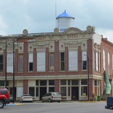
Greenfield Opera House
45.1 km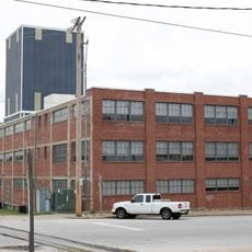
Springfield Seed Co. Office and Warehouse
46.3 km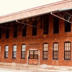
Woods-Evertz Stove Company Historic District
46.1 km
Bailey School
45.8 km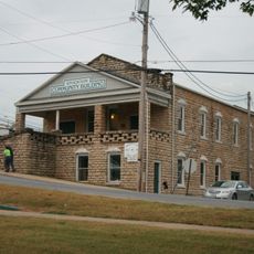
Stockton Community Building
36 km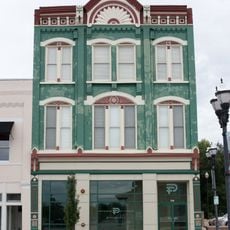
Gottfried Furniture Company Building
46.4 km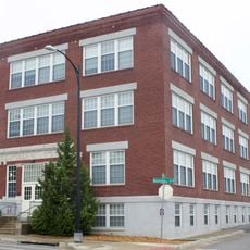
D.M. Oberman Manufacturing Co. Building
46 km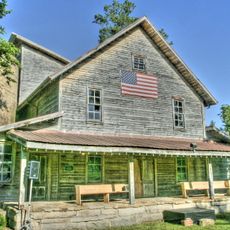
Boegel and Hine Flour Mill-Wommack Mill
34.4 km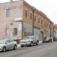
Finkbiner Building
46.3 km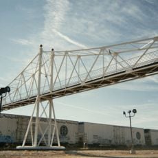
Jefferson Avenue Footbridge
44.2 km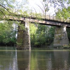
SLSF Sac River Bridge
16 km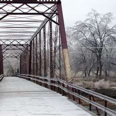
Caplinger Mills Bridge
40.3 kmReviews
Visited this place? Tap the stars to rate it and share your experience / photos with the community! Try now! You can cancel it anytime.
Discover hidden gems everywhere you go!
From secret cafés to breathtaking viewpoints, skip the crowded tourist spots and find places that match your style. Our app makes it easy with voice search, smart filtering, route optimization, and insider tips from travelers worldwide. Download now for the complete mobile experience.

A unique approach to discovering new places❞
— Le Figaro
All the places worth exploring❞
— France Info
A tailor-made excursion in just a few clicks❞
— 20 Minutes