Pike County

Log in to your account

AroundUs is a community-driven map of interesting places, built by curious explorers like you. It grows with every review, story, and photo you share.
Connect to save your favorite spots, contribute locations, and create personalized routes.
Continue with Google
Continue with Apple
Continue with X
Continue with Facebook
Continue with email
By continuing, you accept our Terms and Conditions and our Privacy Policy
Create an account
Add to collection
Map
Suggest a change
Share

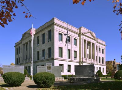
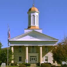
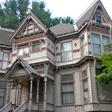
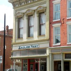
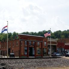
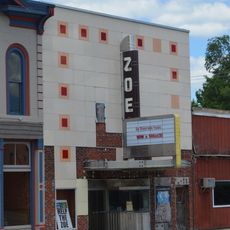
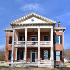
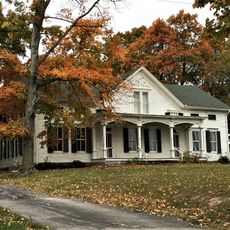
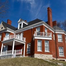
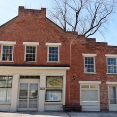
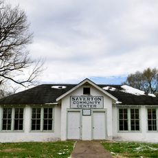
Pike County, County seat in eastern Missouri, US

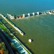
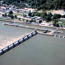
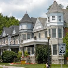
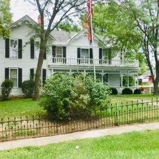
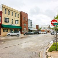
Pike County is an administrative area in eastern Missouri that stretches along the Mississippi River with rolling hills, farmland, and several small towns. Two major U.S. routes cross through the region, connecting its communities.

The county was established in 1818 and named after explorer Zebulon Pike, whose name reflects early exploration efforts in the region. Over time, its original boundaries shifted as surrounding areas became separate administrative divisions.

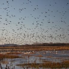
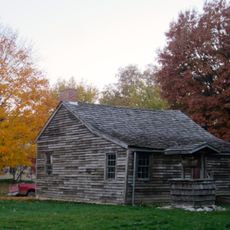
Agriculture shapes daily life here, with farming families tending fields and livestock that have supported the community for generations. This rural character remains visible in how the land is organized and how local communities gather around seasonal work.

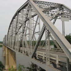
The region is easy to navigate by car, as major roads connect the various towns and communities. Be aware that this is rural country, and distances between destinations may be longer than in urban areas.

Between the 1890s and early 1900s, the area experienced significant social tensions that reflected the turbulent post-Civil War period. This history is documented in local records and remains part of the region's complex past.

Location: Missouri

Inception: 1818

Capital city: Bowling Green

Shares border with: Pike County, Lincoln County, Ralls County, Calhoun County, Montgomery County, Audrain County

Website: https://pikecountymo.net

GPS coordinates: 39.34000,-91.17000

Latest update: December 7, 2025 20:26

Photos
Around this place
Lock and Dam No. 22
United States of America

Lock and Dam No. 22

33.9 km
Champ Clark Bridge
United States of America

Champ Clark Bridge

16.7 km
Lock and Dam No. 24
United States of America

Lock and Dam No. 24

22.9 km
Clarence Cannon National Wildlife Refuge
United States of America

Clarence Cannon National Wildlife Refuge

34.2 km
United States of America

Pike County Courthouse

43.2 km
North Third Street Historic District
United States of America

North Third Street Historic District

16.4 km
James Beauchamp Clark House
United States of America

James Beauchamp Clark House

1.8 km
Ralls County Courthouse and Jail-Sheriff's House
United States of America

Ralls County Courthouse and Jail-Sheriff's House

33.8 km
Gov. Lloyd Crow Stark House and Carriage House
United States of America

Gov. Lloyd Crow Stark House and Carriage House

15.1 km
John Shastid House
United States of America

John Shastid House

43.2 km
Louisiana Public Library
United States of America

Louisiana Public Library

16.2 km
Bethel Chapel AME Church
United States of America

Bethel Chapel AME Church

15.9 km
Georgia Street Historic District
United States of America

Georgia Street Historic District

16 km
Clarksville Historic District
United States of America

Clarksville Historic District

23.1 km
St. John's Episcopal Church
United States of America

St. John's Episcopal Church

17.2 km
Pike County Hospital
United States of America

Pike County Hospital

14.6 km
Charles Bacon House
United States of America

Charles Bacon House

15.7 km
Lincoln School
United States of America

Lincoln School

28 km
Clifford-Wyrick House
United States of America

Clifford-Wyrick House

23.1 km
Turner-Pharr House
United States of America

Turner-Pharr House

22.9 km
Zoe Theatre
United States of America

Zoe Theatre

43.2 km
Capt. George and Attella Barnard House
United States of America

Capt. George and Attella Barnard House

14.5 km
United States of America

Northern Methodist Episcopal Church of Clarksville

23.1 km
Luce-Dyer House
United States of America

Luce-Dyer House

16.2 km
Lyman Scott House
United States of America

Lyman Scott House

31.5 km
Goodman–Stark House
United States of America

Goodman–Stark House

16.3 km
Meloan, Cummins & Co., General Store
United States of America

Meloan, Cummins & Co., General Store

24.8 km
Saverton School
United States of America

Saverton School

34.7 km
Show the full map
Reviews

Visited this place? Tap the stars to rate it and share your experience / photos with the community! Try now! You can cancel it anytime.

Administrative divisions
« Pike County - County seat in eastern Missouri, US » is provided by Around Us (aroundus.com). Images and texts are derived from Wikimedia project under a Creative Commons license. You are allowed to copy, distribute, and modify copies of this page, under the conditions set by the license, as long as this note is clearly visible.

Discover hidden gems everywhere you go!

From secret cafés to breathtaking viewpoints, skip the crowded tourist spots and find places that match your style. Our app makes it easy with voice search, smart filtering, route optimization, and insider tips from travelers worldwide. Download now for the complete mobile experience.

Around Us App Screenshot

A unique approach to discovering new places

Le Figaro

All the places worth exploring

France Info

A tailor-made excursion in just a few clicks

20 Minutes