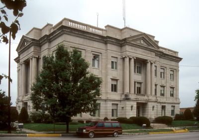
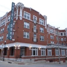
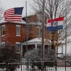
Ray County, Administrative division in northwestern Missouri, United States
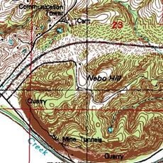
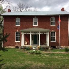
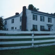
Ray County is an administrative division in northwestern Missouri that includes several small towns and rural communities. The area features rolling terrain with rivers and forests that shape its landscape.
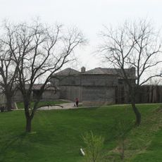
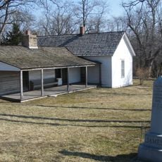
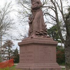
The county was founded in 1820 and named after John Ray, a legislator during Missouri's first Constitutional Convention. In 1838, the Battle of Crooked River took place here, a significant event during the regional Mormon conflict.
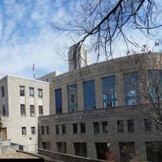
The Ray County Library system maintains an extensive collection of materials, serving the educational and research needs of local residents.
The county is served by several school districts including Hardin-Central, Lawson, Orrick, and Richmond that educate local students. The Ray County Library system provides residents with access to extensive collections for education and research.
The county witnessed the Battle of Crooked River in 1838, marking a significant event during the regional Mormon War conflict.
Location: Missouri
Inception: 1820
Capital city: Richmond
Shares border with: Caldwell County, Clinton County, Carroll County, Lafayette County, Clay County, Jackson County
Website: http://raycountymo.com
GPS coordinates: 39.35000,-93.99000
Latest update: December 7, 2025 19:32
Fort Osage
25.1 km
Watkins Woolen Mill State Park and State Historic Site
23.9 km
Battle of Lexington State Historic Site
20.1 km
James Brothers' House and Farm
28.9 km
Hall of Waters
20 km
Cumberland Presbyterian Church
20.7 km
Lafayette County Courthouse
20.7 km
Sibley Railroad Bridge
25 km
Nebo Hill Archeological Site
35 km
Wyman School
20.5 km
Odessa Ice Cream Company Building
39.8 km
Waddell House
21 km
Jewell Hall
38.1 km
Highland Avenue Historic District
20.9 km
Theodore Gosewisch House
23 km
Claybrook House
30.1 km
First Methodist Church
20.2 km
Ligon Apartments
20 km
Farmers Bank Building
27.5 km
Excelsior Springs Hall of Waters Commercial East Historic District
20 km
Ray County Courthouse
8 km
Watkins House
8.2 km
Excelsior Springs Hall of Waters Commercial West Historic District
21.3 km
Old Neighborhoods Historic District
20.8 km
Missouri City Savings Bank Building and Meeting Hall
29 km
Dougherty Auditorium
8 km
Ray County Poor Farm
8.6 km
Russell Sunflower Patch
8.2 kmVisited this place? Tap the stars to rate it and share your experience / photos with the community! Try now! You can cancel it anytime.
Discover hidden gems everywhere you go!
From secret cafés to breathtaking viewpoints, skip the crowded tourist spots and find places that match your style. Our app makes it easy with voice search, smart filtering, route optimization, and insider tips from travelers worldwide. Download now for the complete mobile experience.
A unique approach to discovering new places❞
— Le Figaro
All the places worth exploring❞
— France Info
A tailor-made excursion in just a few clicks❞
— 20 Minutes