Miller County, Administrative county in Central Missouri, US
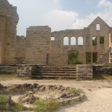
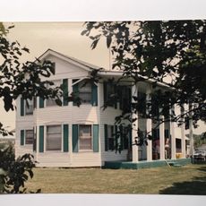
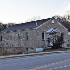
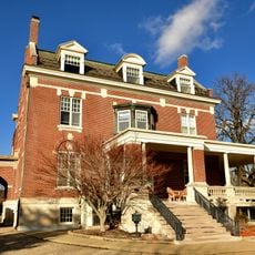
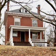
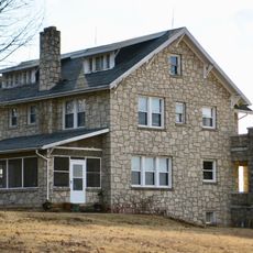
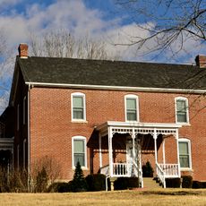
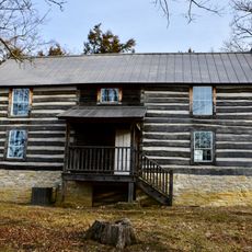
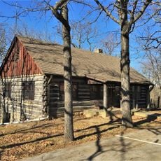
Miller County is an administrative county in the northern Ozarks region of Missouri, with rural landscapes and small communities linked by state highways. The area encompasses both farmland and forested terrain typical of the region.
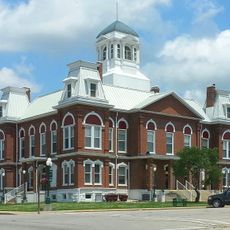
Miller County was established in 1837 and named after John Miller, a former U.S. Representative and Governor of Missouri. Its creation reflected Missouri's westward expansion during the early statehood period.
The county maintains strong Republican political traditions, with local elections and federal voting patterns demonstrating consistent conservative preferences since 1932.
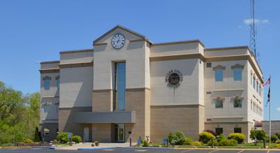
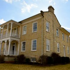
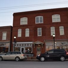
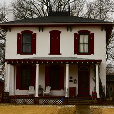
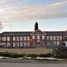
The county seat is located in Tuscumbia and serves as the administrative hub for local services. Visitors will find shops, dining options, and accommodations distributed across the various communities throughout the area.
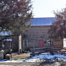
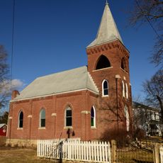
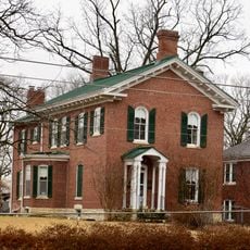
The county contains ten incorporated cities and seventeen unincorporated communities, showing how diverse its settlement pattern is. This mix of larger and smaller settlements shapes the region's character.
The community of curious travelers
AroundUs brings together thousands of curated places, local tips, and hidden gems, enriched daily by 60,000 contributors worldwide.