Lawrence County

Log in to your account

AroundUs is a community-driven map of interesting places, built by curious explorers like you. It grows with every review, story, and photo you share.
Connect to save your favorite spots, contribute locations, and create personalized routes.
By continuing, you accept our Terms and Conditions and our Privacy Policy
Add to collection
Map
Suggest a change
Share

Lawrence County, County administrative division in Missouri, United States.
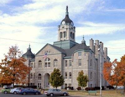
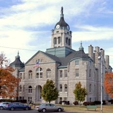
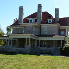
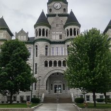
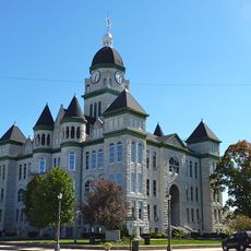
Lawrence County spans 613 square miles across the southwest portion of Missouri, featuring Mount Vernon as its governmental and administrative center.

Established in February 1845, the county received its name from James Lawrence, a naval officer who served in the War of 1812.

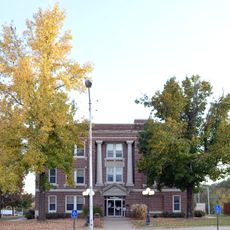
Multiple public school districts, including Aurora, Marionville, Miller, and Mount Vernon, provide education services to the county's 38,001 residents.

The Lawrence County Courthouse in Mount Vernon manages administrative functions and remains accessible to residents during regular weekday business hours.

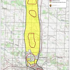
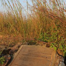
The Ozark Cavefish National Wildlife Refuge within Lawrence County protects specialized aquatic species in underground water systems.

Location: Missouri

Inception: 1845

Capital city: Mount Vernon

Shares border with: Dade County, Barry County, Greene County, Stone County, Christian County, Jasper County, Newton County

Website: https://lawrencecountymo.org

GPS coordinates: 37.11000,-93.83000

Latest update: March 3, 2025 02:10

Around this place
Show the full map
Wonders of Wildlife Museum & Aquarium
United States of America

Wonders of Wildlife Museum & Aquarium

48 km
George Washington Carver National Monument
United States of America

George Washington Carver National Monument

48.7 km
Fantastic Caverns
United States of America

Fantastic Caverns

46.2 km
66 Drive-In
United States of America

66 Drive-In

48.4 km
Y-Bridge
United States of America

Y-Bridge

47.2 km
Jolly Mill
United States of America

Jolly Mill

32 km
First Battle of Newtonia Historic District
United States of America

First Battle of Newtonia Historic District

40.4 km
Battle of Carthage State Historic Site
United States of America

Battle of Carthage State Historic Site

42.1 km
Lewis Shaw Coleman House
United States of America

Lewis Shaw Coleman House

18.4 km
Golden Prairie
United States of America

Golden Prairie

39.9 km
Lawrence County Courthouse
United States of America

Lawrence County Courthouse

1.3 km
Gilmore Barn
United States of America

Gilmore Barn

36.9 km
Carthage Courthouse Square Historic District
United States of America

Carthage Courthouse Square Historic District

43.3 km
Greenfield Opera House
United States of America

Greenfield Opera House

33.9 km
Springfield Seed Co. Office and Warehouse
United States of America

Springfield Seed Co. Office and Warehouse

48.6 km
J.E. King Manufacturing Company
United States of America

J.E. King Manufacturing Company

48.2 km
Elijah Teague Anderson House
United States of America

Elijah Teague Anderson House

31.2 km
Colonial Apartments
United States of America

Colonial Apartments

43.6 km
Stone County Courthouse
United States of America

Stone County Courthouse

46.9 km
Fallin Brothers Building
United States of America

Fallin Brothers Building

48.7 km
Henry Schneider Building
United States of America

Henry Schneider Building

48.6 km
Phelps Country Estate
United States of America

Phelps Country Estate

39.2 km
Carthage South Historic District
United States of America

Carthage South Historic District

43.1 km
Cassill Place Historic District
United States of America

Cassill Place Historic District

44.2 km
Battle of Carthage Civil War Museum
United States of America

Battle of Carthage Civil War Museum

43.2 km
Island Green Golf Club
United States of America

Island Green Golf Club

30.7 km
Jasper County Courthouse
United States of America

Jasper County Courthouse

43.3 km
Wilson's Creek National Battlefield Visitor Center
United States of America

Wilson's Creek National Battlefield Visitor Center

36.4 km
Show the full map

Reviews

Visited this place? Tap the stars to rate it and share your experience / photos with the community! Try now! You can cancel it anytime.

Administrative divisions
« Lawrence County - County administrative division in Missouri, United States » is provided by Around Us (aroundus.com). Images and texts are derived from Wikimedia project under a Creative Commons license. You are allowed to copy, distribute, and modify copies of this page, under the conditions set by the license, as long as this note is clearly visible.

Discover hidden gems everywhere you go!

From secret cafés to breathtaking viewpoints, skip the crowded tourist spots and find places that match your style. Our app makes it easy with voice search, smart filtering, route optimization, and insider tips from travelers worldwide. Download now for the complete mobile experience.

Around Us App Screenshot

A unique approach to discovering new places

Le Figaro

All the places worth exploring

France Info

A tailor-made excursion in just a few clicks

20 Minutes