Enable Location

We need your location to show you interesting places around you

Discover nearby places

Find interesting locations and hidden gems around you

Precise directions

Get accurate directions and distances to places

Your location is never shared with other users. It's only used when you tap the location button.

Harrison County

Log in to your account

Start exploring — it's free

Trusted by 61,889 travelers worldwide

Continue with Google
Continue with Apple
or

We will send you a code to connect

By continuing, you accept our Terms and Conditions and our Privacy Policy

Check your inbox

We've sent a pincode in your inbox. Please enter the code below.

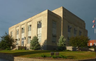
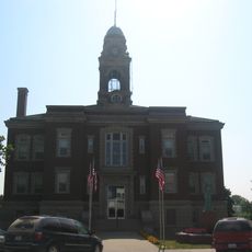
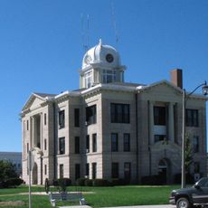
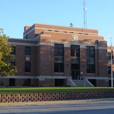
Harrison County, Administrative county in northwestern Missouri, United States.

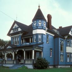
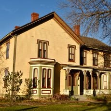
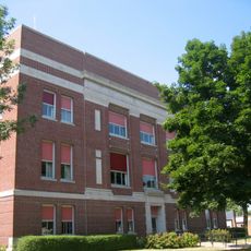
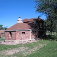
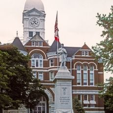
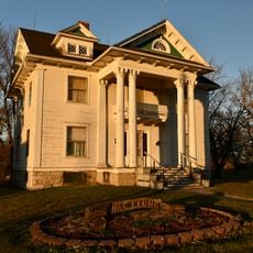
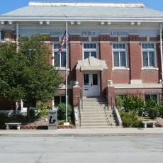
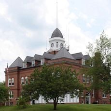
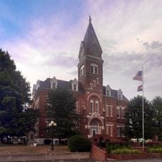
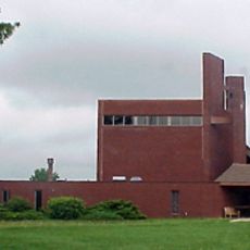
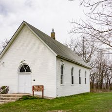
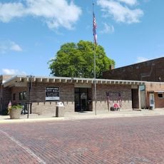
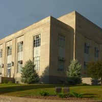
Harrison County is an administrative division in northwestern Missouri with Bethany serving as its county seat. The region is characterized by rural communities and agricultural land that defines its character.

The area was established by Missouri's legislature in 1834 and later named after a United States Representative. This early founding made it part of the regional development in northern Missouri.

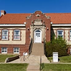
The county maintains several school districts, including Cainsville R-I, Gilman City R-IV, North Harrison County R-III, and South Harrison County R-II.

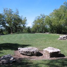
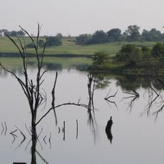
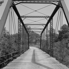
When visiting, expect rural settings and limited urban infrastructure spread across the county. The warmer months are best for exploring since roads and rural routes are more accessible during this time.

A notable resident from this area was a historical figure who lived an exceptionally long life. Such connections show how rural parts of America became intertwined with larger national events.

The community of curious travelers

AroundUs brings together thousands of curated places, local tips, and hidden gems, enriched daily by 60,000 contributors worldwide.

Start exploring
Location
Inception
1834
Capital city
Bethany
Shares border with
Ringgold County, Decatur County, Mercer County, Grundy County, Daviess County, Gentry County, Worth County
GPS coordinates
40.35000,-93.98000
Latest update
December 8, 2025 13:44
Around this place
Adam-ondi-Ahman
United States of America

Adam-ondi-Ahman

40.8 km
Conception Abbey
United States of America

Conception Abbey

60.8 km
Crowder State Park
United States of America

Crowder State Park

39.6 km
C.S. Stearns House
United States of America

C.S. Stearns House

61.9 km
Bedford Public Library
United States of America

Bedford Public Library

71.1 km
A. Taylor Ray House
United States of America

A. Taylor Ray House

48.6 km
Mozingo Lake Golf Course
United States of America

Mozingo Lake Golf Course

66.5 km
Liberty Hall
United States of America

Liberty Hall

30.6 km
Decatur County Courthouse
United States of America

Decatur County Courthouse

47.8 km
Ringgold County Courthouse
United States of America

Ringgold County Courthouse

46 km
Daviess County Rotary Jail and Sheriff's Residence
United States of America

Daviess County Rotary Jail and Sheriff's Residence

48.4 km
Taylor County Courthouse
United States of America

Taylor County Courthouse

71.8 km
J.J. McClung House
United States of America

J.J. McClung House

60.9 km
Carnegie Library of Albany
United States of America

Carnegie Library of Albany

32 km
United States of America

Nelson Round Barn

66.8 km
Union Church
United States of America

Union Church

35.4 km
Daviess County Courthouse
United States of America

Daviess County Courthouse

48.4 km
Lee Shay Farmhouse
United States of America

Lee Shay Farmhouse

50.7 km
Grand River Bridge
United States of America

Grand River Bridge

42.3 km
Bedford Oil Company Station
United States of America

Bedford Oil Company Station

72 km
Worth County Courthouse
United States of America

Worth County Courthouse

39.4 km
Bedford House
United States of America

Bedford House

71.7 km
Gentry County Courthouse
United States of America

Gentry County Courthouse

34.6 km
Bedford Commercial Historic District
United States of America

Bedford Commercial Historic District

71.8 km
DeKalb County Courthouse
United States of America

DeKalb County Courthouse

60.6 km
Cheville Chapel
United States of America

Cheville Chapel

30 km
Middlefork Methodist Episcopal Church
United States of America

Middlefork Methodist Episcopal Church

39.6 km
Bedford City Hall
United States of America

Bedford City Hall

71.9 km
Show the full map
Administrative divisions
« Harrison County - Administrative county in northwestern Missouri, United States » is provided by Around Us (aroundus.com). Images and texts are derived from Wikimedia project under a Creative Commons license. You are allowed to copy, distribute, and modify copies of this page, under the conditions set by the license, as long as this note is clearly visible.

Discover hidden gems everywhere you go!

From secret cafés to breathtaking viewpoints, skip the crowded tourist spots and find places that match your style. Our app makes it easy with voice search, smart filtering, route optimization, and insider tips from travelers worldwide. Download now for the complete mobile experience.

Around Us App Screenshot

A unique approach to discovering new places

Le Figaro

All the places worth exploring

France Info

A tailor-made excursion in just a few clicks

20 Minutes

Around Us
Travel Guide & Maps
Download

Send to your phone

QR Code
1

Open the camera app on your mobile.

2

Point at the QR code with your camera. A notification will appear.

3

Tap the notification to open the link.