
Liberty, human settlement in Randolph County, North Carolina, United States of America
Location: Randolph County
Elevation above the sea: 241 m
Website: http://liberty-nc.com
GPS coordinates: 35.85278,-79.57194
Latest update: March 4, 2025 15:58
Alamance Battleground
18.2 km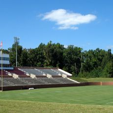
Rhodes Stadium
29.2 km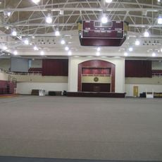
Alumni Gym
29.1 km
Hagan Stone Park
18.4 km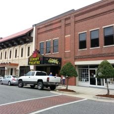
Sunset Theater
27.5 km
Cedarock Park
19.8 km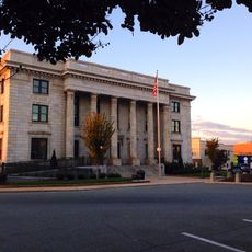
Alamance County Courthouse
28.6 km
Allen House
18 km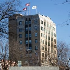
Atlantic Bank and Trust Company Building
29.4 km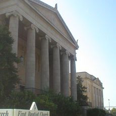
First Baptist Church
29.2 km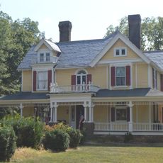
Francis Marion Smith House
28.1 km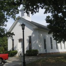
Tabernacle Methodist Protestant Church and Cemetery
16.8 km
Johnston Hall
28.3 km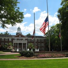
Elon College Historic District
28.4 km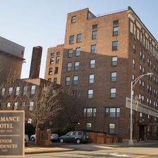
Alamance Hotel
29.3 km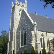
St. Athanasius Episcopal Church and Parish House and the Church of the Holy Comforter
29.3 km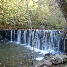
Cedarock Park Historic District
18.9 km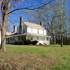
Marley House
12.2 km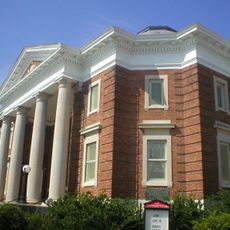
First Christian Church of Burlington
29.4 km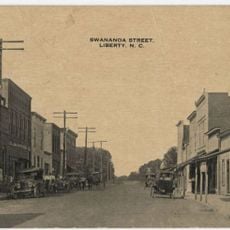
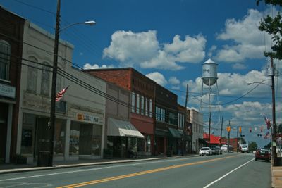
Liberty Historic District
411 m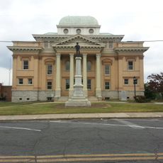
Randolph County Courthouse
27.2 km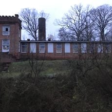
Coleridge Historic District
24.1 km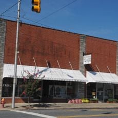
Siler City Commercial Historic District
17.4 km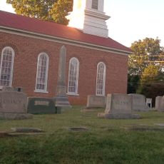
St. Paul's Methodist Episcopal Church South
21.6 km
May Hosiery Mills Knitting Mill
29.2 km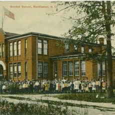
Randleman Graded School
21.5 km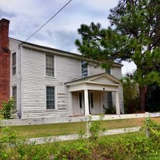
Dr. Joseph A. McLean House
24.9 km
William P. Morrow House
28.7 kmVisited this place? Tap the stars to rate it and share your experience / photos with the community! Try now! You can cancel it anytime.
Discover hidden gems everywhere you go!
From secret cafés to breathtaking viewpoints, skip the crowded tourist spots and find places that match your style. Our app makes it easy with voice search, smart filtering, route optimization, and insider tips from travelers worldwide. Download now for the complete mobile experience.

A unique approach to discovering new places❞
— Le Figaro
All the places worth exploring❞
— France Info
A tailor-made excursion in just a few clicks❞
— 20 Minutes