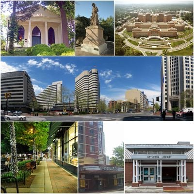
Bethesda, Census-designated place in Montgomery County, Maryland
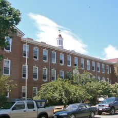
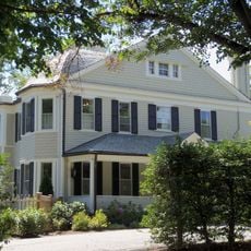
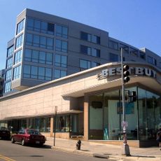
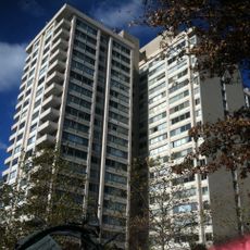
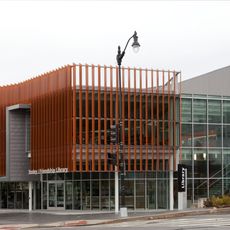
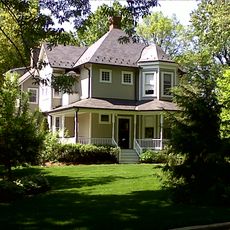
This community spreads northwest from the capital, mixing tree-lined residential streets with commercial corridors where office towers, clinics, and retail centers stand side by side. The layout shifts between quiet blocks with single-family homes and busy intersections surrounded by parking structures and glass-front buildings.
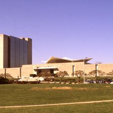
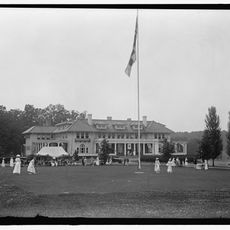
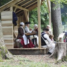
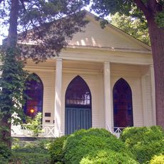
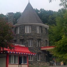
A meeting house built in 1820 gave the area its name and marked the first organized settlement. Federal agencies and medical institutions arrived during the 20th century, transforming farmland into a dense suburb.
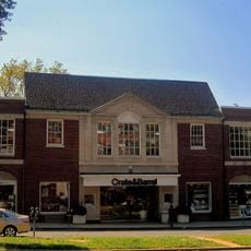
The arts district draws residents to galleries, theaters, and outdoor performances throughout the year, creating a neighborhood rhythm shaped by openings and weekend crowds. Families and professionals gather at restaurants and cafes that line the sidewalks, turning dinner into a social ritual that extends late into the evening.
Metro trains on the red line connect the downtown core to the capital in less than half an hour, with frequent service throughout the day. Most shops and restaurants sit within a short walk from the station entrance, though parking fills quickly on weekdays.
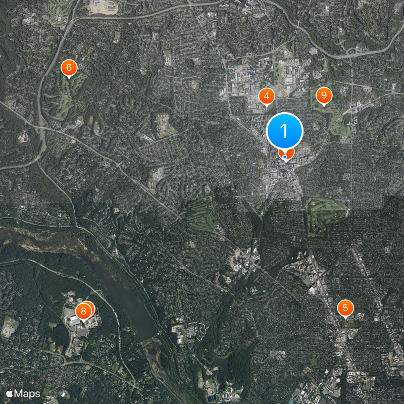
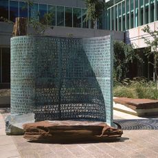
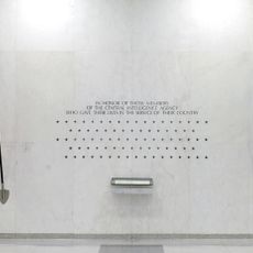
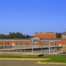
A research campus covering more than 300 acres (120 hectares) anchors the community and draws scientists from across the globe. Visitors can walk through public areas and view outdoor sculptures scattered among the laboratories without needing special permission.
The community of curious travelers
AroundUs brings together thousands of curated places, local tips, and hidden gems, enriched daily by 60,000 contributors worldwide.