
Lebanon, borough of New Jersey
Location: Hunterdon County
Inception: 1926
Elevation above the sea: 85 m
Shares border with: Clinton Township
Website: https://lebanonboro.com
GPS coordinates: 40.64167,-74.83611
Latest update: March 11, 2025 20:53
Round Valley Reservoir
3.3 km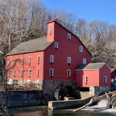
Red Mill
6.5 km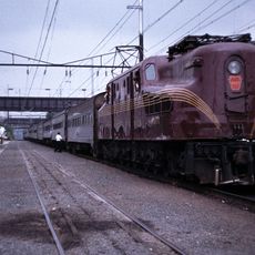
Pennsylvania Railroad 4877
506 m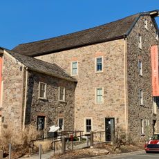
Hunterdon Art Museum
6.4 km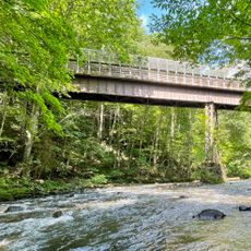
Ken Lockwood Gorge Bridge
6.9 km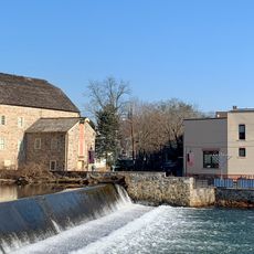
Clinton Historic District
6.3 km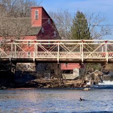
Main Street Bridge
6.4 km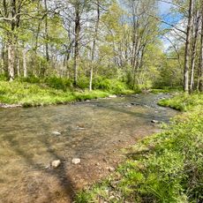
Rockaway Creek
5.2 km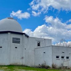
Paul Robinson Observatory
6.9 km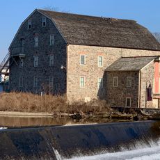
Dunham's Mill
6.4 km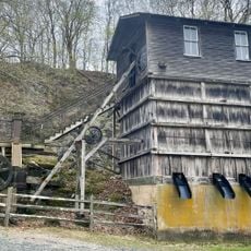
M. C. Mulligan & Sons Quarry
6.6 km
Taylor's Mill Historic District
6.3 km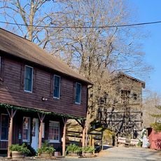
Red Mill Museum Village
6.5 km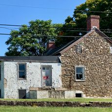
Christoffel Vought Farmstead
5.3 km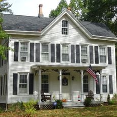
Whitehouse-Mechanicsville Historic District
6.9 km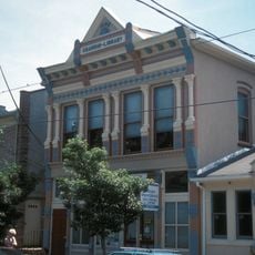
Old Grandin Library
6.2 km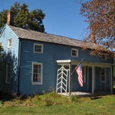
Charles Eversole House
6.9 km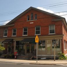
Music Hall
6.6 km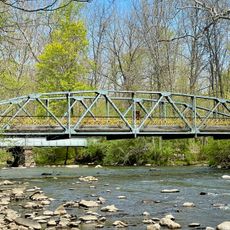
Union Forge Bridge
5.3 km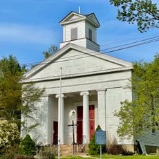
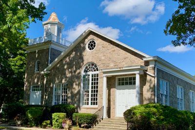
Cokesbury United Methodist Church
4.6 km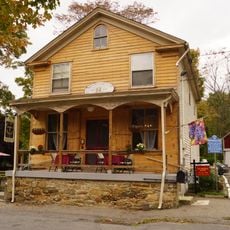
Mountainville Historic District
6 km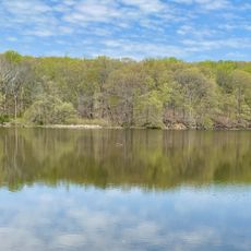
Lake Solitude
5.5 km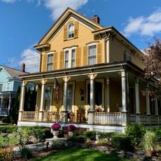
Lebanon Historic District
170 m
Potterstown Rural Historic District
4.4 km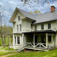
Solitude House
5.3 km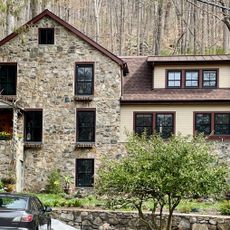
Readingsburg Historic District
5.7 km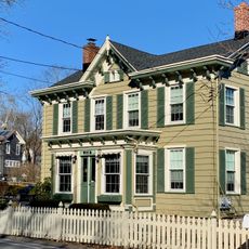
Cokesbury Historic District
4.6 km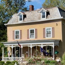
Annandale Historic District
3.8 kmVisited this place? Tap the stars to rate it and share your experience / photos with the community! Try now! You can cancel it anytime.
Discover hidden gems everywhere you go!
From secret cafés to breathtaking viewpoints, skip the crowded tourist spots and find places that match your style. Our app makes it easy with voice search, smart filtering, route optimization, and insider tips from travelers worldwide. Download now for the complete mobile experience.

A unique approach to discovering new places❞
— Le Figaro
All the places worth exploring❞
— France Info
A tailor-made excursion in just a few clicks❞
— 20 Minutes