Enable Location

We need your location to show you interesting places around you

Discover nearby places

Find interesting locations and hidden gems around you

Precise directions

Get accurate directions and distances to places

Your location is never shared with other users. It's only used when you tap the location button.

Hunterdon County

Log in to your account

Start exploring — it's free

Trusted by 62,414 travelers worldwide

Continue with Google
Continue with Apple
or

We will send you a code to connect

By continuing, you accept our Terms and Conditions and our Privacy Policy

Check your inbox

We've sent a pincode in your inbox. Please enter the code below.

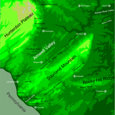
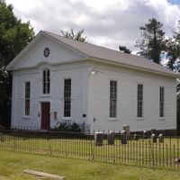
Hunterdon County, Administrative county in western New Jersey, United States.

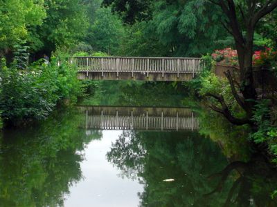
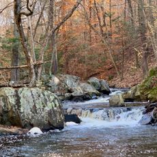
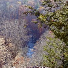
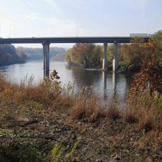
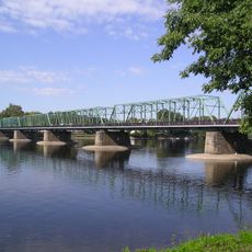
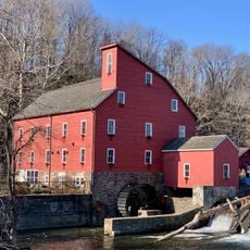
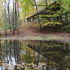
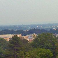
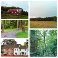
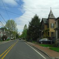
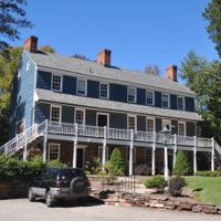
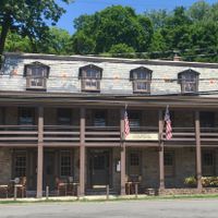
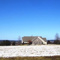
Hunterdon County stretches across 437 square miles of land, featuring rolling hills, fertile valleys, and numerous small towns spread throughout its territory.

This administrative unit separated from Burlington County on March 11, 1714, and originally included what became Morris, Sussex, and Warren. Later boundary adjustments shaped its present western position in the state.

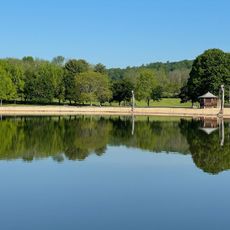
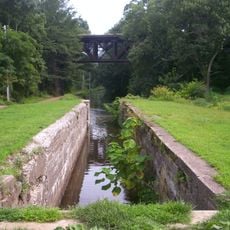
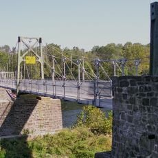
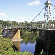
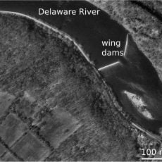
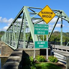
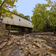
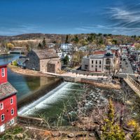
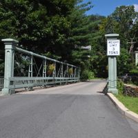
The Delaware and Raritan Canal flows through the county, providing residents and visitors with opportunities for boating, fishing, and waterside recreation.

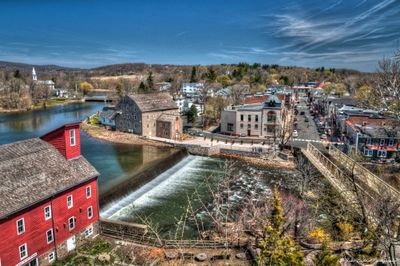
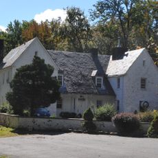
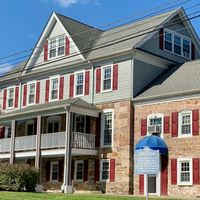
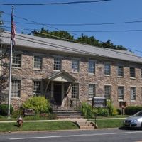
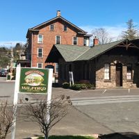
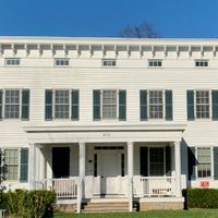
Flemington serves as the administrative center with main public offices and facilities for residents. The area is best explored by car, as towns and villages spread across wide distances.

The area records the highest annual deer harvest in New Jersey, reflecting its rural character and emphasis on wildlife management. Many residents mark the hunting season as a regular part of the yearly calendar.

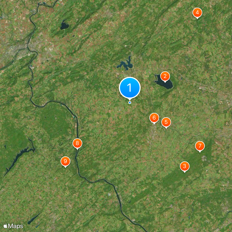
The community of curious travelers

AroundUs brings together thousands of curated places, local tips, and hidden gems, enriched daily by 60,000 contributors worldwide.

Start exploring
Location
Inception
1714
Capital city
Flemington
Shares border with
Warren County, Morris County, Somerset County, Mercer County, Bucks County
GPS coordinates
40.57000,-74.92000
Latest update
December 13, 2025 16:17
Around this place
United States of America

Round Valley Reservoir

9.6 km
Highfields
United States of America

Highfields

20.8 km
Hacklebarney State Park
United States of America

Hacklebarney State Park

25.4 km
Northlandz
United States of America

Northlandz

10.4 km
United States of America

Flemington Speedway

7.5 km
Sourland Mountain
United States of America

Sourland Mountain

20 km
Treasure Island Scout Reservation
United States of America

Treasure Island Scout Reservation

16.4 km
Ralph Stover State Park
United States of America

Ralph Stover State Park

21.4 km
Spruce Run Recreation Area
United States of America

Spruce Run Recreation Area

10.5 km
Merrill Creek Reservoir
United States of America

Merrill Creek Reservoir

24 km
Interstate 78 Toll Bridge
United States of America

Interstate 78 Toll Bridge

24.6 km
Delaware Canal State Park
United States of America

Delaware Canal State Park

14.2 km
New Hope – Lambertville Bridge
United States of America

New Hope – Lambertville Bridge

22.9 km
George Nakashima House, Studio and Workshop
United States of America

George Nakashima House, Studio and Workshop

25.8 km
Lumberville – Raven Rock Bridge
United States of America

Lumberville – Raven Rock Bridge

20.6 km
Red Mill
United States of America

Red Mill

7.4 km
Riegelsville Bridge
United States of America

Riegelsville Bridge

23.1 km
United States of America

Cushetunk Mountain

8.7 km
Hunterdon Plateau
United States of America

Hunterdon Plateau

16.1 km
Voorhees State Park
United States of America

Voorhees State Park

14.3 km
Pennsylvania Railroad 4877
United States of America

Pennsylvania Railroad 4877

10.3 km
Bulls Island Recreation Area
United States of America

Bulls Island Recreation Area

20.2 km
Uhlerstown–Frenchtown Bridge
United States of America

Uhlerstown–Frenchtown Bridge

13.2 km
Green Sergeant's Covered Bridge
United States of America

Green Sergeant's Covered Bridge

14.5 km
United States of America

Grand Carousel

26.5 km
Volendam Windmill
United States of America

Volendam Windmill

20.8 km
Howell Living History Farm
United States of America

Howell Living History Farm

25.6 km
United States of America

Musconetcong Mountain

12.4 km
Show the full map
« Hunterdon County - Administrative county in western New Jersey, United States » is provided by Around Us (aroundus.com). Images and texts are derived from Wikimedia project under a Creative Commons license. You are allowed to copy, distribute, and modify copies of this page, under the conditions set by the license, as long as this note is clearly visible.

Discover hidden gems everywhere you go!

From secret cafés to breathtaking viewpoints, skip the crowded tourist spots and find places that match your style. Our app makes it easy with voice search, smart filtering, route optimization, and insider tips from travelers worldwide. Download now for the complete mobile experience.

Around Us App Screenshot

A unique approach to discovering new places

Le Figaro

All the places worth exploring

France Info

A tailor-made excursion in just a few clicks

20 Minutes

Around Us
Travel Guide & Maps
Download

Send to your phone

QR Code
1

Open the camera app on your mobile.

2

Point at the QR code with your camera. A notification will appear.

3

Tap the notification to open the link.