Enable Location

We need your location to show you interesting places around you

Discover nearby places

Find interesting locations and hidden gems around you

Precise directions

Get accurate directions and distances to places

Your location is never shared with other users. It's only used when you tap the location button.

Tewksbury Township

Log in to your account

Start exploring — it's free

Trusted by 62,374 travelers worldwide

Continue with Google
Continue with Apple
or

We will send you a code to connect

By continuing, you accept our Terms and Conditions and our Privacy Policy

Check your inbox

We've sent a pincode in your inbox. Please enter the code below.

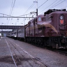
Tewksbury Township, Rural township in Hunterdon County, United States.

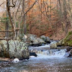
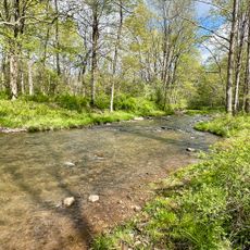
Tewksbury Township is a rural township in Hunterdon County in northern New Jersey that spreads across wooded landscapes and open fields. Natural spaces are preserved through dedicated land management programs that shape the area.

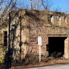
The township was incorporated in 1798, but its story began in 1708 when George Willocks acquired land from the Lenape Native Americans. This early settlement formed the foundation for what later became an organized township.

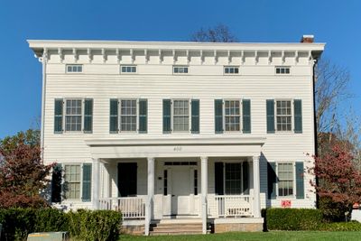
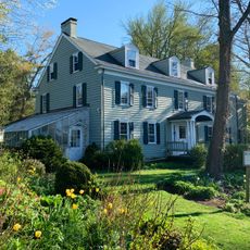
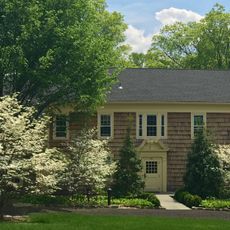
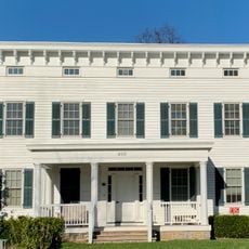
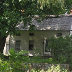
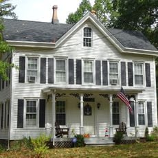
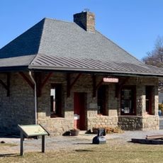
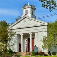
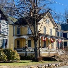
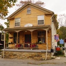
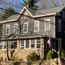
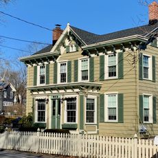
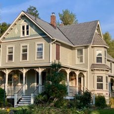
The Oldwick Historic District features more than 100 structures with diverse architectural styles including Victorian, Federal, and Georgian designs that define the local character. These buildings show how residents shaped their surroundings across different periods.

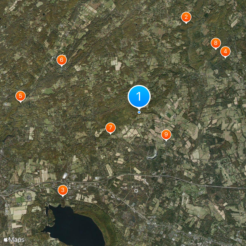
Exploring the area is easiest by car since the township spreads across a wide area with attractions scattered throughout. Administrative offices are reachable during regular business hours if you need official information or guidance.

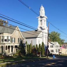
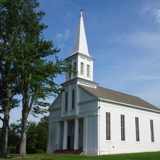
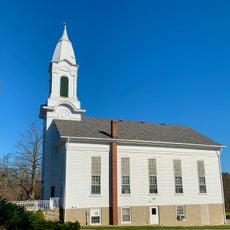
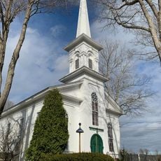
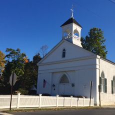
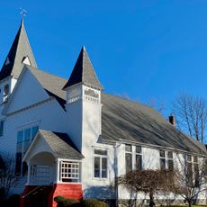
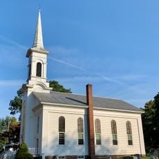
Zion Lutheran Church dates to 1714 and received a Royal Charter in 1767, making it the first German Lutheran parish in New Jersey. This church stands as a rare record of the early religious history of German-speaking settlers in the region.

The community of curious travelers

AroundUs brings together thousands of curated places, local tips, and hidden gems, enriched daily by 60,000 contributors worldwide.

Start exploring
Location
Inception
February 21, 1798
Shares border with
Lebanon Township, Califon, Clinton Township, Readington Township, Bedminster, Chester Township, Washington Township
GPS coordinates
40.69090,-74.77200
Latest update
December 20, 2025 01:54
Around this place
Hacklebarney State Park
United States of America

Hacklebarney State Park

7.2 km
Pennsylvania Railroad 4877
United States of America

Pennsylvania Railroad 4877

8.1 km
Willowwood Arboretum
United States of America

Willowwood Arboretum

7.3 km
Ken Lockwood Gorge Bridge
United States of America

Ken Lockwood Gorge Bridge

8.5 km
Main Street Bridge
United States of America

Main Street Bridge

6.4 km
Rockaway Creek
United States of America

Rockaway Creek

2.6 km
Bamboo Brook Outdoor Education Center
United States of America

Bamboo Brook Outdoor Education Center

7.1 km
Oldwick Historic District
United States of America

Oldwick Historic District

2.8 km
Taylor's Mill Historic District
United States of America

Taylor's Mill Historic District

3.3 km
Hoffman's Crossing Road Bridge
United States of America

Hoffman's Crossing Road Bridge

7.7 km
Bartles House
United States of America

Bartles House

3.4 km
Lamington Historic District
United States of America

Lamington Historic District

5.7 km
Fairmount Historic District
United States of America

Fairmount Historic District

3.1 km
J. K. Apgar Farmhouse
United States of America

J. K. Apgar Farmhouse

5.5 km
Kline Farmhouse
United States of America

Kline Farmhouse

2.3 km
Whitehouse-Mechanicsville Historic District
United States of America

Whitehouse-Mechanicsville Historic District

7.8 km
Lower Valley Presbyterian Church
United States of America

Lower Valley Presbyterian Church

7.3 km
Zion Lutheran Church
United States of America

Zion Lutheran Church

2.8 km
Califon Methodist Episcopal Church
United States of America

Califon Methodist Episcopal Church

6.6 km
Califon
United States of America

Califon

6.4 km
Cokesbury United Methodist Church
United States of America

Cokesbury United Methodist Church

5.4 km
Califon Historic District
United States of America

Califon Historic District

6.2 km
Pottersville Reformed Church
United States of America

Pottersville Reformed Church

5.1 km
Mountainville Historic District
United States of America

Mountainville Historic District

3.1 km
United States of America

Cushetunk Lake

7.6 km
Potterstown Rural Historic District
United States of America

Potterstown Rural Historic District

5.1 km
Cokesbury Historic District
United States of America

Cokesbury Historic District

5.6 km
Pottersville Village Historic District
United States of America

Pottersville Village Historic District

5.1 km
Show the full map
« Tewksbury Township - Rural township in Hunterdon County, United States » is provided by Around Us (aroundus.com). Images and texts are derived from Wikimedia project under a Creative Commons license. You are allowed to copy, distribute, and modify copies of this page, under the conditions set by the license, as long as this note is clearly visible.

Discover hidden gems everywhere you go!

From secret cafés to breathtaking viewpoints, skip the crowded tourist spots and find places that match your style. Our app makes it easy with voice search, smart filtering, route optimization, and insider tips from travelers worldwide. Download now for the complete mobile experience.

Around Us App Screenshot

A unique approach to discovering new places

Le Figaro

All the places worth exploring

France Info

A tailor-made excursion in just a few clicks

20 Minutes

Around Us
Travel Guide & Maps
Download

Send to your phone

QR Code
1

Open the camera app on your mobile.

2

Point at the QR code with your camera. A notification will appear.

3

Tap the notification to open the link.