Enable Location

We need your location to show you interesting places around you

Discover nearby places

Find interesting locations and hidden gems around you

Precise directions

Get accurate directions and distances to places

Your location is never shared with other users. It's only used when you tap the location button.

Franklinton

Log in to your account

Start exploring — it's free

Trusted by 63,992 travelers worldwide

Continue with Google
Continue with Apple
or

We will send you a code to connect

By continuing, you accept our Terms and Conditions and our Privacy Policy

Check your inbox

We've sent a pincode in your inbox. Please enter the code below.

Discussion Reviews 1 Photos
16.1k Popularity

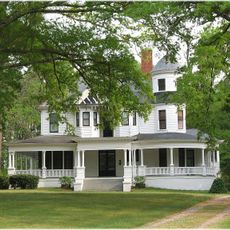
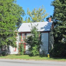
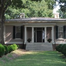
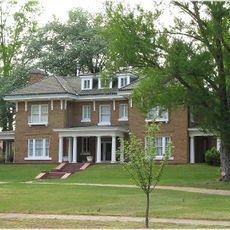
Franklinton, town in Franklin County, North Carolina

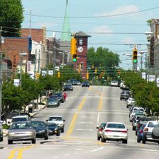
Franklinton is a neighborhood south of downtown Columbus, Ohio, extending across the Scioto River and known today as a hub for artists, makers, and creative businesses. The area features galleries, a growing brewery scene, cafes, parks along the Scioto Mile, and significant institutions including the COSI science museum and the National Veterans Memorial and Museum.

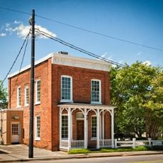
The neighborhood was founded in 1797 as the first settlement in Franklin County and was originally called Sullivant's Town after its founder, Lucas Sullivant. It served as the county seat until Columbus took over that role in 1824, but remained an important hub for economic and social activity as railroads brought industry and workers to the area.

The neighborhood takes its name from Lucas Sullivant, its founder, and is now a hub for artists and creative people who have shaped it with galleries, murals, and public sculptures. The community gathers regularly for street events and cultural programs that bring residents and visitors together throughout the year.

The neighborhood is easily reached via major streets such as Broad Street and Sullivant Avenue, with public transit connecting it to downtown Columbus and other areas. Visit during the day when cafes and galleries are open and the parks along the Scioto Mile are accessible for walks and activities.

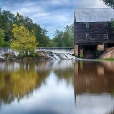
The neighborhood was shaped by flooding, most notably a severe flood in 1913 that caused major destruction, but a floodwall built in 2004 now protects the area. This barrier enabled new development and shows how the area has rebuilt after facing significant challenges.

The community of curious travelers

AroundUs brings together thousands of curated places, local tips, and hidden gems, enriched daily by 60,000 contributors worldwide.

Start exploring
Location
Inception
1839
Elevation above the sea
125 m
GPS coordinates
36.10250,-78.45310
Latest update
February 19, 2026 23:00
Around this place
Louisburg College
United States of America

Louisburg College

13.8 km
Falls Lake State Recreation Area
United States of America

Falls Lake State Recreation Area

23.8 km
Central Children's Home of North Carolina
United States of America

Central Children's Home of North Carolina

23.8 km
St. Catherine of Siena Catholic Church
United States of America

St. Catherine of Siena Catholic Church

15.7 km
Triangle Metro Zoo
United States of America

Triangle Metro Zoo

11.3 km
Person Place
United States of America

Person Place

14.1 km
Sterling Cotton Mill
United States of America

Sterling Cotton Mill

464 m
Shemuel Kearney House
United States of America

Shemuel Kearney House

3.8 km
Josiah Crudup House
United States of America

Josiah Crudup House

9.5 km
James Mangum House
United States of America

James Mangum House

23.9 km
Fuller House
United States of America

Fuller House

13.8 km
Capehart House
United States of America

Capehart House

20.7 km
Forestville Baptist Church
United States of America

Forestville Baptist Church

17 km
Dr. Calvin Jones House
United States of America

Dr. Calvin Jones House

14.1 km
Green Hill House
United States of America

Green Hill House

13.5 km
Louisburg Historic District
United States of America

Louisburg Historic District

13.8 km
Henderson Central Business Historic District
United States of America

Henderson Central Business Historic District

25.3 km
Zollicoffer's Law Office
United States of America

Zollicoffer's Law Office

25.5 km
Vance County Courthouse
United States of America

Vance County Courthouse

25.6 km
Laurel Mill and Col. Jordan Jones House
United States of America

Laurel Mill and Col. Jordan Jones House

25 km
Dr. J. H. Harris House
United States of America

Dr. J. H. Harris House

261 m
Purefoy-Chappell House and Outbuildings
United States of America

Purefoy-Chappell House and Outbuildings

16.7 km
Williamson House
United States of America

Williamson House

14.1 km
Aldridge H. Vann House
United States of America

Aldridge H. Vann House

451 m
First National Bank Building
United States of America

First National Bank Building

21.1 km
Franklin County Training School-Riverside Union School
United States of America

Franklin County Training School-Riverside Union School

13.2 km
Thomas and Lois Wheless House
United States of America

Thomas and Lois Wheless House

14.2 km
Thomas Capehart House
United States of America

Thomas Capehart House

14.2 km
Show the full map
Reviews
Share your experience

No review yet

Discussions
Start a discussion...

No discussion yet

« Franklinton - town in Franklin County, North Carolina » is provided by Around Us (aroundus.com). Images and texts are derived from Wikimedia project under a Creative Commons license. You are allowed to copy, distribute, and modify copies of this page, under the conditions set by the license, as long as this note is clearly visible.

Discover hidden gems everywhere you go!

From secret cafés to breathtaking viewpoints, skip the crowded tourist spots and find places that match your style. Our app makes it easy with voice search, smart filtering, route optimization, and insider tips from travelers worldwide. Download now for the complete mobile experience.

Around Us App Screenshot

A unique approach to discovering new places

Le Figaro

All the places worth exploring

France Info

A tailor-made excursion in just a few clicks

20 Minutes

Around Us
Travel Guide & Maps
Download

Send to your phone

QR Code
1

Open the camera app on your mobile.

2

Point at the QR code with your camera. A notification will appear.

3

Tap the notification to open the link.