Hanska, human settlement in Brown County, Minnesota, United States of America
Location: Brown County
Elevation above the sea: 310 m
GPS coordinates: 44.14889,-94.49417
Latest update: March 25, 2025 00:58

Minneopa State Park
31.3 km
Hermann Heights Monument
17.7 km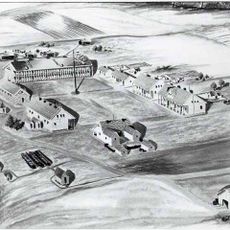
Fort Ridgely
38.6 km
Flandrau State Park
15.6 km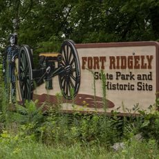
Fort Ridgely State Park
38.4 km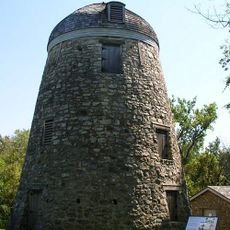
Seppman Mill
30.5 km
Kern Bridge
36.4 km
First Baptist Church
28.5 km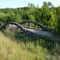
Marsh Concrete Rainbow Arch Bridge
14.5 km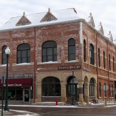
Grand Opera House
21.5 km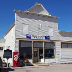
Godahl Store
12.5 km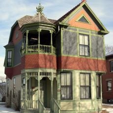
Wanda Gág House
18.5 km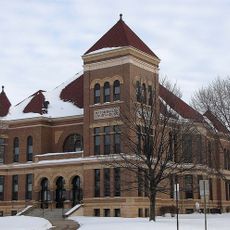
Watonwan County Courthouse
21.4 km
West Bridge
12.7 km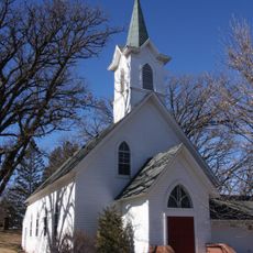
Nora Free Christian Church
1.2 km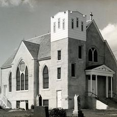
Kansas Lake Evangelical Lutheran Church
32.8 km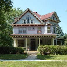
J.R. Brandrup House
38.8 km
Charles Chapman House
36.5 km
William Irving House
37.7 km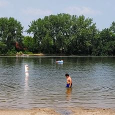
Hiniker Pond Public Beach
38.4 km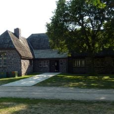
Flandrau State Park CCC/WPA/Rustic Style Historic Resources
16.1 km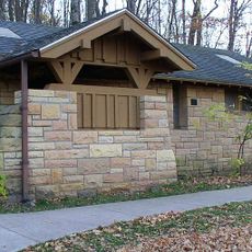
Minneopa State Park WPA/Rustic Style Historic Resources
32.2 km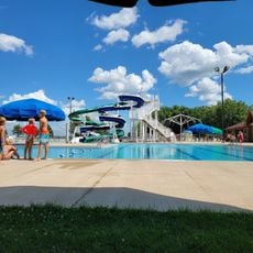
Sleepy Eye Family Aquatic Center
24 km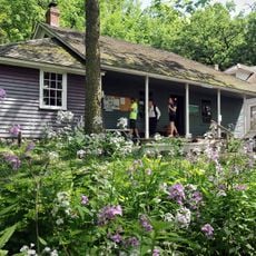
Harkin Store
27.8 km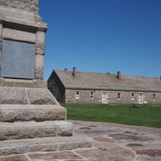
Fort Ridgely
38.1 km
Madelia Theater
12.5 km
August Schell Brewing Company
16 km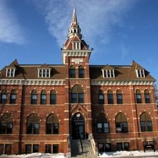
Old Main, Dr. Martin Luther College
17.6 kmVisited this place? Tap the stars to rate it and share your experience / photos with the community! Try now! You can cancel it anytime.
Discover hidden gems everywhere you go!
From secret cafés to breathtaking viewpoints, skip the crowded tourist spots and find places that match your style. Our app makes it easy with voice search, smart filtering, route optimization, and insider tips from travelers worldwide. Download now for the complete mobile experience.

A unique approach to discovering new places❞
— Le Figaro
All the places worth exploring❞
— France Info
A tailor-made excursion in just a few clicks❞
— 20 Minutes