Enable Location

We need your location to show you interesting places around you

Discover nearby places

Find interesting locations and hidden gems around you

Precise directions

Get accurate directions and distances to places

Your location is never shared with other users. It's only used when you tap the location button.

Brown County

Log in to your account

Start exploring — it's free

Trusted by 61,366 travelers worldwide

Continue with Google
Continue with Apple
or

We will send you a code to connect

By continuing, you accept our Terms and Conditions and our Privacy Policy

Check your inbox

We've sent a pincode in your inbox. Please enter the code below.

Brown County, County in southern Minnesota, United States.

Description

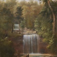
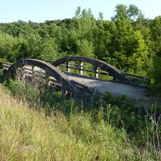
Brown County encompasses agricultural land and rolling terrain between the Minnesota River and Cottonwood River. The area combines active farmland with natural river valleys that define the region's character.

History

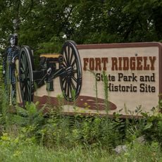
The county was established in 1855 during Minnesota's territorial period, before statehood arrived in 1858. Early settlement led to the founding of New Ulm and other communities that shaped the region's development.

Culture

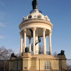
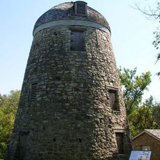
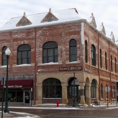
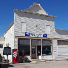
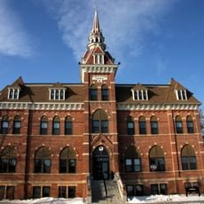
New Ulm, the county seat, reflects German heritage through its buildings and local events that mark the legacy of early settlers. These traditions continue to shape how the community celebrates and understands itself today.

Practical

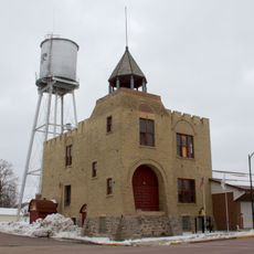
The county seat of New Ulm provides access to services including property records, permits, and vehicle registration for residents. The entire area is easy to navigate by car and offers access to river valley outdoor areas.

Did you know?

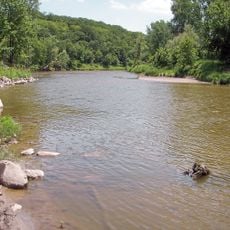
The Minnesota River creates the entire northeastern border, forming a natural boundary between this county and its neighbors. This water boundary has shaped trade, transportation, and farming patterns for generations.

Location
Inception
February 20, 1855
Capital city
New Ulm
Shares border with
Nicollet County, Watonwan County, Renville County, Redwood County, Cottonwood County, Blue Earth County
GPS coordinates
44.23000,-94.72000
Latest update
December 7, 2025 20:43

AroundUs brings together thousands of curated places, local tips, and hidden gems, enriched daily by 60,000 contributors worldwide. Discover all places nearby (Minnesota).

Around this place
Minneopa State Park
United States of America

Minneopa State Park

49.9 km
Hermann Heights Monument
United States of America

Hermann Heights Monument

21.5 km
Jeffers Petroglyphs
United States of America

Jeffers Petroglyphs

30.8 km
Fort Ridgely
United States of America

Fort Ridgely

24.6 km
Flandrau State Park
United States of America

Flandrau State Park

20.7 km
Fort Ridgely State Park
United States of America

Fort Ridgely State Park

24.6 km
Seppman Mill
United States of America

Seppman Mill

49 km
Redwood County Poor Farm
United States of America

Redwood County Poor Farm

48.1 km
Grand Opera House
United States of America

Grand Opera House

28.6 km
Marsh Concrete Rainbow Arch Bridge
United States of America

Marsh Concrete Rainbow Arch Bridge

28.7 km
Godahl Store
United States of America

Godahl Store

15 km
Gibbon Village Hall
United States of America

Gibbon Village Hall

37.2 km
Mountain Lake Site
United States of America

Mountain Lake Site

43.8 km
Wanda Gág House
United States of America

Wanda Gág House

22.3 km
New Ulm Oil Company Service Station
United States of America

New Ulm Oil Company Service Station

22.6 km
Gaylord City Park
United States of America

Gaylord City Park

54.1 km
West Bridge
United States of America

West Bridge

30.9 km
Nora Free Christian Church
United States of America

Nora Free Christian Church

21.4 km
St. Cornelia's Episcopal Church
United States of America

St. Cornelia's Episcopal Church

40.3 km
Isaac Bargen House
United States of America

Isaac Bargen House

36.8 km
Kansas Lake Evangelical Lutheran Church
United States of America

Kansas Lake Evangelical Lutheran Church

36.1 km
Flandrau State Park CCC/WPA/Rustic Style Historic Resources
United States of America

Flandrau State Park CCC/WPA/Rustic Style Historic Resources

21.1 km
Fort Ridgely State Park CCC/Rustic Style Historic Resources
United States of America

Fort Ridgely State Park CCC/Rustic Style Historic Resources

25.2 km
Harkin Store
United States of America

Harkin Store

19.9 km
Fort Ridgely
United States of America

Fort Ridgely

24.3 km
Madelia Theater
United States of America

Madelia Theater

31.3 km
August Schell Brewing Company
United States of America

August Schell Brewing Company

22.5 km
Old Main, Dr. Martin Luther College
United States of America

Old Main, Dr. Martin Luther College

21.6 km
Show the full map
« Brown County - County in southern Minnesota, United States » is provided by Around Us (aroundus.com). Images and texts are derived from Wikimedia project under a Creative Commons license. You are allowed to copy, distribute, and modify copies of this page, under the conditions set by the license, as long as this note is clearly visible.

Discover hidden gems everywhere you go!

From secret cafés to breathtaking viewpoints, skip the crowded tourist spots and find places that match your style. Our app makes it easy with voice search, smart filtering, route optimization, and insider tips from travelers worldwide. Download now for the complete mobile experience.

Around Us App Screenshot

A unique approach to discovering new places

Le Figaro

All the places worth exploring

France Info

A tailor-made excursion in just a few clicks

20 Minutes

Around Us
Travel Guide & Maps
Download

Send to your phone

QR Code
1

Open the camera app on your mobile.

2

Point at the QR code with your camera. A notification will appear.

3

Tap the notification to open the link.