River Rouge, city in Michigan
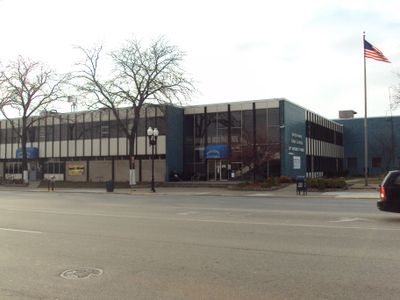
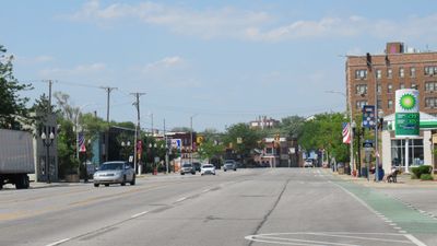
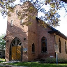
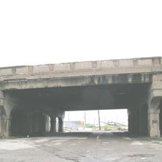
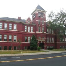
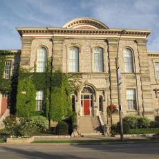
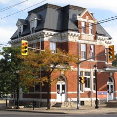
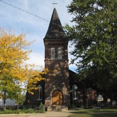
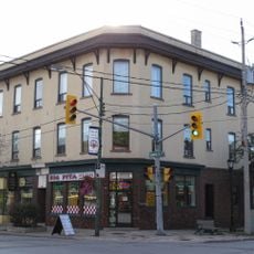
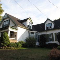
River Rouge is a small city in Wayne County, Michigan, situated along the Detroit River and the waterway from which it takes its name. The city contains historic industrial buildings, established residential neighborhoods with mid-20th century homes like ranches and bungalows, and direct access to the river and nearby parks.
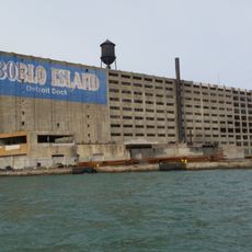
The area was first settled in 1808 and became a village in 1899 before receiving city status in 1922. Growth was driven by access to iron ore from the Upper Peninsula and coal from nearby sources, which attracted shipyards and manufacturing plants that shaped the regional economy.
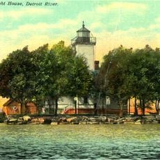
The name River Rouge comes from French and means Red River, reflecting early French colonial presence in the region. This water-based heritage shapes how residents connect with and experience their city today.
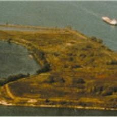
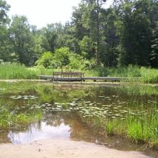
The city is accessible via highways I-75 and I-94 and offers affordable housing in established neighborhoods. Proximity to Detroit Metropolitan Airport and neighboring cities makes commuting convenient, while riverfront parks provide outdoor recreation options.
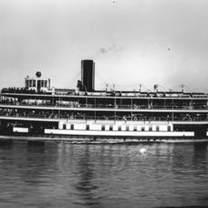
The SS Edmund Fitzgerald was built here in 1958 and was the largest ship on the Great Lakes at that time before it sank in a storm in 1975. This shipbuilding heritage reflects the city's importance in regional industrial and maritime history.
The community of curious travelers
AroundUs brings together thousands of curated places, local tips, and hidden gems, enriched daily by 60,000 contributors worldwide.