Chest opened
+${chestReward.xp} XP
Explorer
NOUVEAU ×${chestReward.collectible.quantity}
tapez pour fermer

See the monuments around you in AR Open chests in the app

Around Us is built for your phone — point your camera at the streets and discover the monuments and places around you in augmented reality. Around Us is built for your phone — chests unlock when you walk, explore and capture nearby places.

Enable Location

We need your location to show you interesting places around you

Discover nearby places

Find interesting locations and hidden gems around you

Precise directions

Get accurate directions and distances to places

Your location is never shared with other users. It's only used when you tap the location button.

Grassy Island

Log in to your account

Start exploring — it's free

Trusted by 86,401 travelers worldwide

Continue with Google
Continue with Apple
or

We will send you a code to connect

By continuing, you accept our Terms and Conditions and our Privacy Policy

Check your inbox

We've sent a pincode in your inbox. Please enter the code below.

Grassy Island
Discussion Reviews 1 Photos
2.4k Popularity

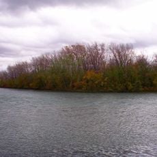
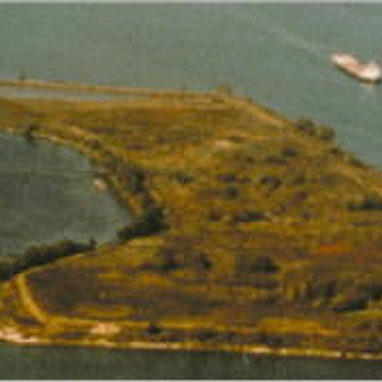
Grassy Island, River island in Wyandotte, US.

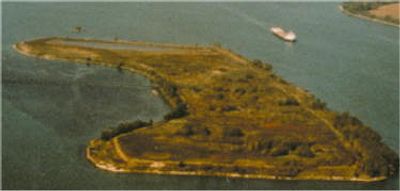
Grassy Island is a river island located in the Detroit River north of Grosse Ile, surrounded by steep earthen embankments on all sides. The island covers approximately 72 acres and sits between industrial areas and other waterways in this part of the river.

The island was first recorded by French explorers in 1796 as Ile Marecageuse when it measured only about 6 acres. Over time it grew substantially through sediment disposal operations that began in the 1960s.

The island formed part of the Wyandotte National Wildlife Refuge in 1961, marking the beginning of federal environmental protection efforts in the Detroit River.

The island can only be reached by boat since there are no bridges or regular ferry services to it. Most visitors cannot access the island due to soil contamination and environmental restrictions in the area.

Between 1960 and 1982 the island was used as a disposal site for millions of cubic meters of sediments from the River Rouge. These sediment deposits essentially doubled the island's original size and permanently altered its shape.

The community of curious travelers

AroundUs brings together thousands of curated places, local tips, and hidden gems, enriched daily by 60,000 contributors worldwide.
Start exploring
Location
GPS coordinates
42.22250,-83.13472
Latest update
September 12, 2026 04:16
Around this place
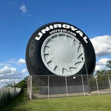
Uniroyal Giant Tire
United States of America

Uniroyal Giant Tire

5.1 mi
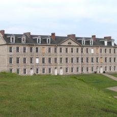
Fort Wayne
United States of America

Fort Wayne

5.6 mi
Dearborn Mosque
United States of America

Dearborn Mosque

5.7 mi
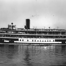
Ste. Claire
United States of America

Ste. Claire

2.7 mi
Detroit River International Wildlife Refuge
United States of America

Detroit River International Wildlife Refuge

0.4 mi
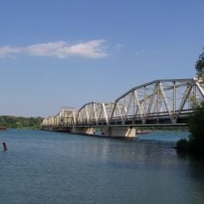
Grosse Ile Toll Bridge
United States of America

Grosse Ile Toll Bridge

3.7 mi
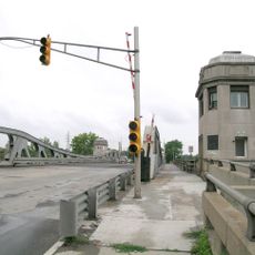
West Jefferson Avenue–Rouge River Bridge
United States of America

West Jefferson Avenue–Rouge River Bridge

4 mi
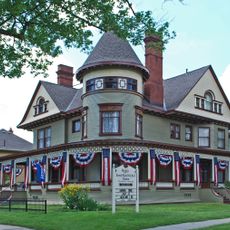
George P. MacNichol House
United States of America

George P. MacNichol House

1.3 mi
Ojibway Prairie Complex
Canada

Ojibway Prairie Complex

4.2 mi
Ford-Bacon House
United States of America

Ford-Bacon House

1.3 mi
Sandwich First Baptist Church
Canada

Sandwich First Baptist Church

5.5 mi
Marx House
United States of America

Marx House

1.3 mi
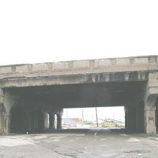
Fort Street–Pleasant Street and Norfolk & Western Railroad Viaduct
United States of America

Fort Street–Pleasant Street and Norfolk & Western Railroad Viaduct

4.3 mi
Mellus Newspapers Building
United States of America

Mellus Newspapers Building

2.9 mi
John and Emma Lacey Eberts House
United States of America

John and Emma Lacey Eberts House

1.3 mi
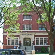
Wyandotte Odd Fellows Temple
United States of America

Wyandotte Odd Fellows Temple

1.4 mi
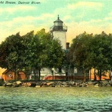
Grassy Island Light
United States of America

Grassy Island Light

0.1 mi
Black Oak Heritage Park
Canada

Black Oak Heritage Park

3.9 mi
Parke Lane Road–Thorofare Canal Bridge
United States of America

Parke Lane Road–Thorofare Canal Bridge

3.8 mi
Ferry Street–Thorofare Canal Bridge
United States of America

Ferry Street–Thorofare Canal Bridge

5.9 mi
Fort Wayne
United States of America

Fort Wayne

5.5 mi
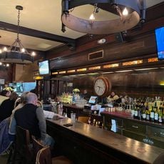
R.P. McMurphy's
United States of America

R.P. McMurphy's

1.5 mi
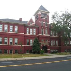
James A. Garfield School
United States of America

James A. Garfield School

5.9 mi
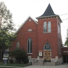
Bedford United Church
Canada

Bedford United Church

6 mi
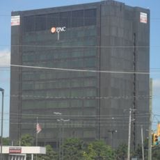
Southgate Tower
United States of America

Southgate Tower

3.7 mi
Essex County Court House
Canada

Essex County Court House

6.2 mi
St. John's Anglican Church and Cemetery
Canada

St. John's Anglican Church and Cemetery

6.1 mi
3402 Sandwich Street
Canada

3402 Sandwich Street

5.9 mi
Show the full map
Reviews
Share your experience

No review yet

Discussions
Start a discussion...

No discussion yet

« Grassy Island - River island in Wyandotte, US » is provided by Around Us (aroundus.com). Images and texts are derived from Wikimedia project under a Creative Commons license. You are allowed to copy, distribute, and modify copies of this page, under the conditions set by the license, as long as this note is clearly visible.

Discover hidden gems everywhere you go!

From secret cafés to breathtaking viewpoints, skip the crowded tourist spots and find places that match your style. Our app makes it easy with voice search, smart filtering, route optimization, and insider tips from travelers worldwide. Download now for the complete mobile experience.
Around Us App Screenshot

A unique approach to discovering new places

Le Figaro

All the places worth exploring

France Info

A tailor-made excursion in just a few clicks

20 Minutes

Around Us
Travel Guide & Maps
Download

Send to your phone

QR Code
1

Open the camera app on your mobile.

2

Point at the QR code with your camera. A notification will appear.

3

Tap the notification to open the link.