Mendon, town in Massachusetts
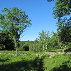
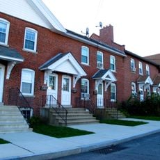
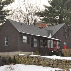
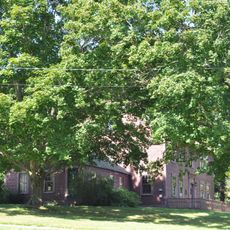
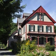
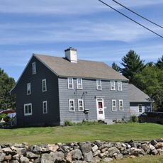
Mendon is a small town in Worcester County characterized by rural landscapes and tree-lined streets. Traditional New England-style homes with large porches and well-maintained yards blend with open fields and wooded areas that surround the community.
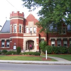
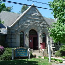
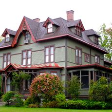
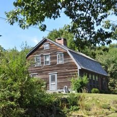
Mendon began as a farming community founded by early settlers who cultivated crops and raised livestock. The town remained relatively unchanged for centuries, with historic buildings still standing that reflect its agricultural heritage and development.
The town's origins are rooted in early settlement patterns that shaped its identity and character. Today, community gatherings such as farmers' markets and holiday celebrations maintain a strong sense of togetherness among residents.
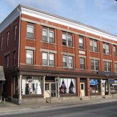
The town offers opportunities for hiking, fishing, and outdoor picnicking in its fields and wooded areas. Local shops and small restaurants meet basic needs, and nearby larger towns are easily accessible for more extensive shopping or services.
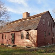
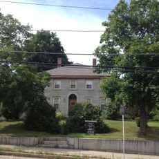
Many homes in this town date back to earlier centuries and feature craftsmanship details typical of the colonial period. These structures offer a rare look into how early New England settlers built and lived in their communities.
The community of curious travelers
AroundUs brings together thousands of curated places, local tips, and hidden gems, enriched daily by 60,000 contributors worldwide.