
Cedar Rock, human settlement in Caldwell County, North Carolina, United States of America
Location: Caldwell County
Elevation above the sea: 361 m
GPS coordinates: 35.94470,-81.46420
Latest update: June 2, 2025 02:27
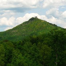
Hibriten Mountain
4.8 km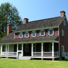
Fort Defiance
8.4 km
Edgar Allan Poe House
7.5 km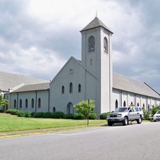
Waldensian Presbyterian Church
24.2 km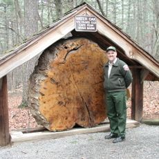
Tuttle Educational State Forest
18.6 km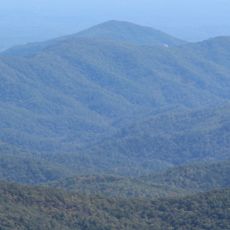
Adams Mountain
23.5 km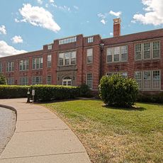
Lenoir High School
8 km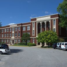
Claremont High School Historic District
25.7 km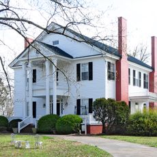
Nuckolls-Jefferies House
17.8 km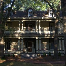
Shuford House
25.6 km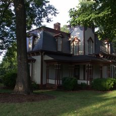
Propst House
24.3 km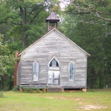
Mulberry Chapel Methodist Church
17.2 km
Markham-Albertson-Stinson Cottage
14.9 km
Valdese Elementary School
24.1 km
Clover Hill
8 km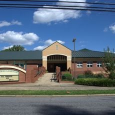
Oakwood Historic District
25.4 km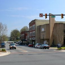
Lenoir Downtown Historic District
7.4 km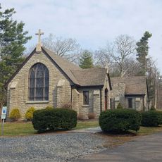
Green Park Historic District
7.4 km
Houck's Chapel
23.9 km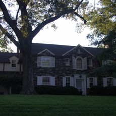
Dr. Glenn R. Frye House
25.5 km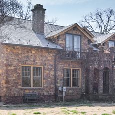
Jean-Pierre Auguste Dalmas House
22.7 km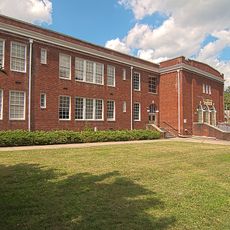
Lenoir Grammar School
7.2 km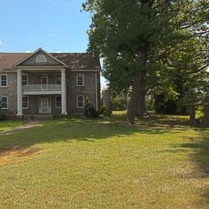
Mary's Grove
10.5 km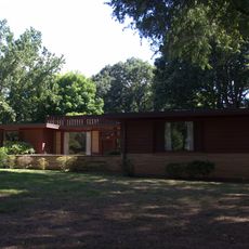
Lee & Helen George House
25 km
Riverside
12.7 km
Mariah's Chapel
13.1 km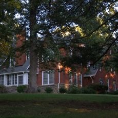
John Alfred Moretz House
23.3 km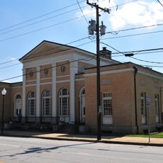
Federal Building
24.6 kmReviews
Visited this place? Tap the stars to rate it and share your experience / photos with the community! Try now! You can cancel it anytime.
Discover hidden gems everywhere you go!
From secret cafés to breathtaking viewpoints, skip the crowded tourist spots and find places that match your style. Our app makes it easy with voice search, smart filtering, route optimization, and insider tips from travelers worldwide. Download now for the complete mobile experience.

A unique approach to discovering new places❞
— Le Figaro
All the places worth exploring❞
— France Info
A tailor-made excursion in just a few clicks❞
— 20 Minutes