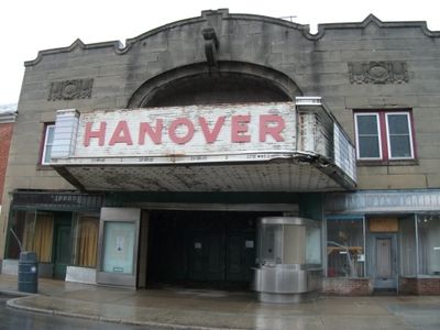
Hanover Historic District, Historic district in Hanover, Pennsylvania
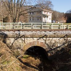
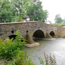
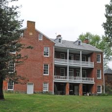
Hanover Historic District is a neighborhood spanning 885 acres in York County containing roughly 2,600 buildings representing the central business and residential areas of the town. The district maintains its original street layout with five major roads intersecting at the center, making the area easy to navigate on foot.
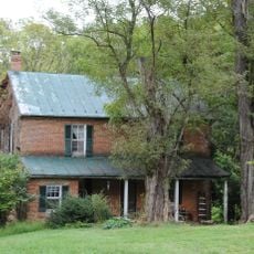
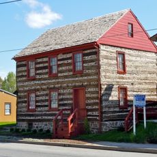
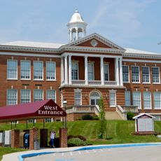
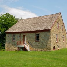
Richard McAllister established the town in 1763 after purchasing land where he built a log home, store, and tavern at the intersection of Baltimore and Middle Streets. The settlement grew into a regional trading center, with most surviving structures erected between 1870 and 1946 during a period of expansion and modernization.
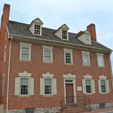
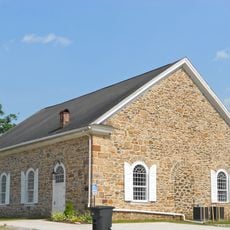
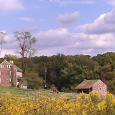
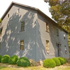
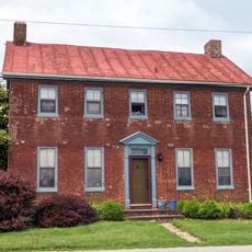
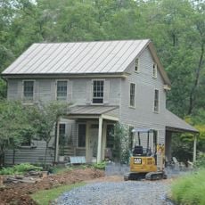
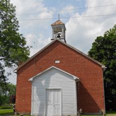
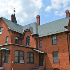
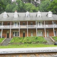
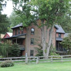
The district contains Colonial Revival, Queen Anne, and Pennsylvania German vernacular architecture built mostly between 1870 and 1946. These buildings reflect how residents shaped their community through their construction choices and daily lives.
The district center is easy to navigate thanks to five main roads intersecting in a grid pattern that has remained unchanged since the town's founding. Walking is the best way to explore the area and observe the buildings up close.
Thomas Jefferson spent a night at the Sign of the Horse inn in 1776 while traveling to the Continental Congress when the town was still built largely of log structures. This connection links the district to an important moment in American history.
The community of curious travelers
AroundUs brings together thousands of curated places, local tips, and hidden gems, enriched daily by 60,000 contributors worldwide.