Harmar Historic District
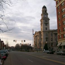
Harmar Historic District, Historic district in Marietta, United States.
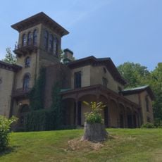
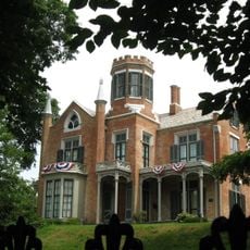
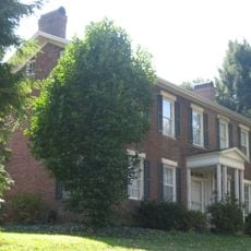
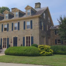
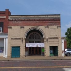
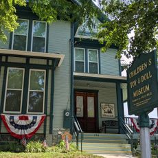
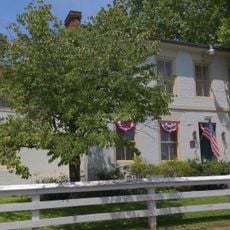
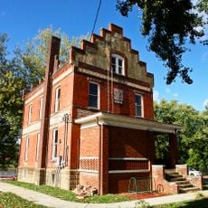
Harmar Historic District is a neighborhood in Marietta featuring 19th-century buildings that reflect different architectural styles from that era. The structures line the Ohio River and showcase construction methods and designs from the 1800s.
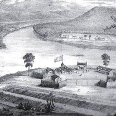
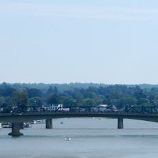
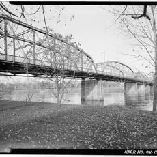
The area grew in the early 1800s as a separate settlement called Harmar Village before becoming part of Marietta. It became an important trading center because of its location on the river.
The neighborhood preserves how early river communities lived, visible through its houses and their layout along the waterfront. The buildings show how residents organized their lives in this trading point.
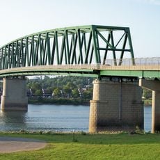
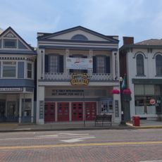
The neighborhood is best explored on foot since the buildings are close together and arranged along the riverside street. Guided tours are available if you want to learn more about the architecture and local history.
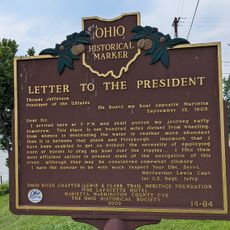
The site was listed on the National Register of Historic Places in 1974 for meeting multiple criteria related to its history and architecture. This recognition highlights how well the neighborhood has kept its past as a river trading center.
Location: Marietta
Location: Washington County
GPS coordinates: 39.40833,-81.45833
Latest update: December 14, 2025 12:24
Fort Harmar
175 m
The Anchorage
730 m
Start Westward Memorial
820 m
Williamstown Bridge
906 m
The Castle
1.4 km
Marietta Historic District
1.1 km
Washington County Courthouse
1.1 km
Tomlinson Mansion
962 m
David Putnam House
483 m
First Unitarian Church of Marietta
978 m
The Castle
1.4 km
Peoples Bank Theatre
924 m
Mid-Ohio Valley Players Theatre
952 m
Children's Toy & Doll Museum
197 m
Muskingum Academy, 1797 - Birth of Higher Education in Ohio
1.2 km
Putnam Street Bridge
585 m
Putnam Street Bridge
612 m
Erwin Hall
1.2 km
The Henry Fearing House
172 m
Harmar Bridge
407 m
Peoples Mortuary Museum
1.1 km
Old Muskingum Lockhouse
588 m
Ohio National Guard Armory
630 m
C. William O'Neill (1916-1978)
1.2 km
Shipbuilding, Commodore Abraham Whipple
579 m
The Towboat W. P. Snyder Jr.
1.4 km
Muskingum River Underground Railroad
1.4 km
Lewis and Clark Expedition
214 mVisited this place? Tap the stars to rate it and share your experience / photos with the community! Try now! You can cancel it anytime.
Discover hidden gems everywhere you go!
From secret cafés to breathtaking viewpoints, skip the crowded tourist spots and find places that match your style. Our app makes it easy with voice search, smart filtering, route optimization, and insider tips from travelers worldwide. Download now for the complete mobile experience.
A unique approach to discovering new places❞
— Le Figaro
All the places worth exploring❞
— France Info
A tailor-made excursion in just a few clicks❞
— 20 Minutes