Washington County

Log in to your account

AroundUs is a community-driven map of interesting places, built by curious explorers like you. It grows with every review, story, and photo you share.
Connect to save your favorite spots, contribute locations, and create personalized routes.
Continue with Google
Continue with Apple
Continue with X
Continue with Facebook
Continue with email
By continuing, you accept our Terms and Conditions and our Privacy Policy
Create an account
Add to collection
Map
Suggest a change
Share

Washington County, Administrative region with historic settlements in southeastern Ohio, United States.

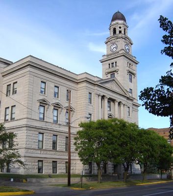
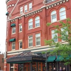
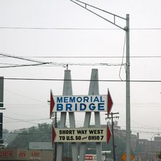
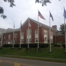
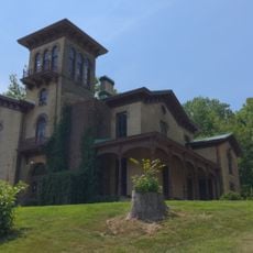
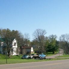
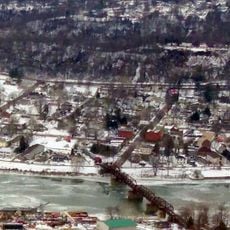
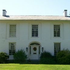
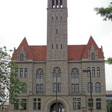
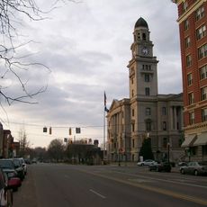
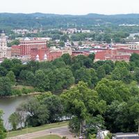
Washington County is an administrative region in southeastern Ohio along the Ohio River, featuring rolling hills, forests, and farmland spread across its territory. The county includes several small towns and communities, with Marietta serving as the county seat, offering a mix of rural and more developed areas.

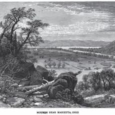
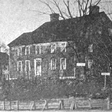
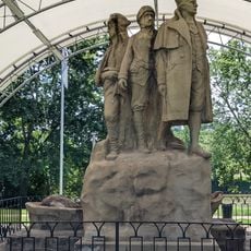
The county was established in 1788 as the first organized county in the Northwest Territory of the United States. This early administrative structure helped shape settlement patterns and development throughout the region, making it a starting point for westward expansion.

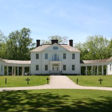
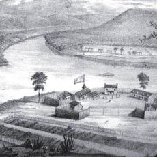
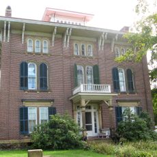
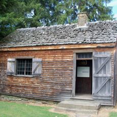
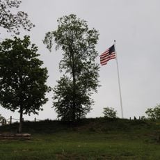
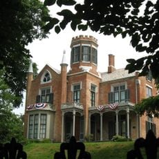
The county is home to several museums, including Campus Martius Museum and Historic Fort Harmar, which display artifacts and stories from the early settlement period. These institutions help visitors understand how the first settlers lived and built their communities here.

Visitors can explore the county most easily by car or on foot using local roads that connect the various towns and natural areas throughout the region. Spring through fall offers the best visiting conditions, when weather is pleasant and most outdoor attractions and museums operate regular hours.

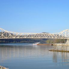
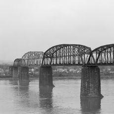
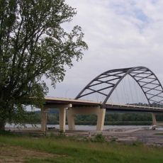
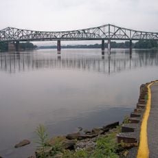
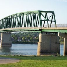
The Ohio River and several tributaries create a waterway network that served early settlers for transportation and trade. This river system continues to shape the landscape today and offers boating and fishing opportunities that many visitors overlook.

Location: Ohio

Inception: July 27, 1788

Capital city: Marietta

Reference: WAS

Shares border with: Noble County, Pleasants County, Monroe County, Tyler County, Wood County, Athens County, Morgan County

Website: https://washingtongov.org

GPS coordinates: 39.46000,-81.49000

Latest update: December 23, 2025 19:10

Photos
Around this place
Blennerhassett Island Historical State Park
United States of America

Blennerhassett Island Historical State Park

23.9 km
Mound Cemetery
United States of America

Mound Cemetery

5.5 km
Marietta Earthworks
United States of America

Marietta Earthworks

5.5 km
Blennerhassett Hotel
United States of America

Blennerhassett Hotel

22.6 km
Hi Carpenter Memorial Bridge
United States of America

Hi Carpenter Memorial Bridge

25 km
Fort Harmar
United States of America

Fort Harmar

6.2 km
Parkersburg Bridge
United States of America

Parkersburg Bridge

22 km
North Bend State Park
United States of America

North Bend State Park

42.2 km
Blennerhassett Island Bridge
United States of America

Blennerhassett Island Bridge

24.5 km
Memorial Bridge
United States of America

Memorial Bridge

20.7 km
Henderson Hall Historic District
United States of America

Henderson Hall Historic District

9.2 km
Rufus Putnam House
United States of America

Rufus Putnam House

5 km
Campus Martius Museum
United States of America

Campus Martius Museum

5 km
Ohio Company Land Office
United States of America

Ohio Company Land Office

5 km
Parkersburg–Belpre Bridge
United States of America

Parkersburg–Belpre Bridge

22 km
The Anchorage
United States of America

The Anchorage

5.7 km
Start Westward Memorial
United States of America

Start Westward Memorial

5.7 km
Williamstown Bridge
United States of America

Williamstown Bridge

6.8 km
Fort Boreman
United States of America

Fort Boreman

23.1 km
Willow Island Lock and Dam
United States of America

Willow Island Lock and Dam

18.5 km
Watertown, Ohio
United States of America

Watertown, Ohio

12.3 km
Harmar Historic District
United States of America

Harmar Historic District

6.4 km
Colonel Joseph Barker House
United States of America

Colonel Joseph Barker House

2.9 km
United States of America

Marietta–Williamstown Interstate Bridge

8.1 km
Wood County Courthouse
United States of America

Wood County Courthouse

22.6 km
United States of America

Acadia Cliffs State Nature Preserve

34.2 km
The Castle
United States of America

The Castle

5.3 km
Marietta Historic District
United States of America

Marietta Historic District

5.5 km
Show the full map
Reviews

Visited this place? Tap the stars to rate it and share your experience / photos with the community! Try now! You can cancel it anytime.

Administrative divisions
« Washington County - Administrative region with historic settlements in southeastern Ohio, United States » is provided by Around Us (aroundus.com). Images and texts are derived from Wikimedia project under a Creative Commons license. You are allowed to copy, distribute, and modify copies of this page, under the conditions set by the license, as long as this note is clearly visible.

Discover hidden gems everywhere you go!

From secret cafés to breathtaking viewpoints, skip the crowded tourist spots and find places that match your style. Our app makes it easy with voice search, smart filtering, route optimization, and insider tips from travelers worldwide. Download now for the complete mobile experience.

Around Us App Screenshot

A unique approach to discovering new places

Le Figaro

All the places worth exploring

France Info

A tailor-made excursion in just a few clicks

20 Minutes