Chest opened
+${chestReward.xp} XP
Explorer
NOUVEAU ×${chestReward.collectible.quantity}
tapez pour fermer
Chest locked

Open chests in the app

Around Us is built for your phone — chests unlock when you walk, explore and capture nearby places.

Enable Location

We need your location to show you interesting places around you

Discover nearby places

Find interesting locations and hidden gems around you

Precise directions

Get accurate directions and distances to places

Your location is never shared with other users. It's only used when you tap the location button.

Log in to your account

Start exploring — it's free

Trusted by 72,983 travelers worldwide

Continue with Google
Continue with Apple
or

We will send you a code to connect

By continuing, you accept our Terms and Conditions and our Privacy Policy

Check your inbox

We've sent a pincode in your inbox. Please enter the code below.

Hell Town, Ohio
Discussion Reviews Photo
35.6k Popularity

Hell Town, Ohio, Abandoned village in Summit County, Ohio

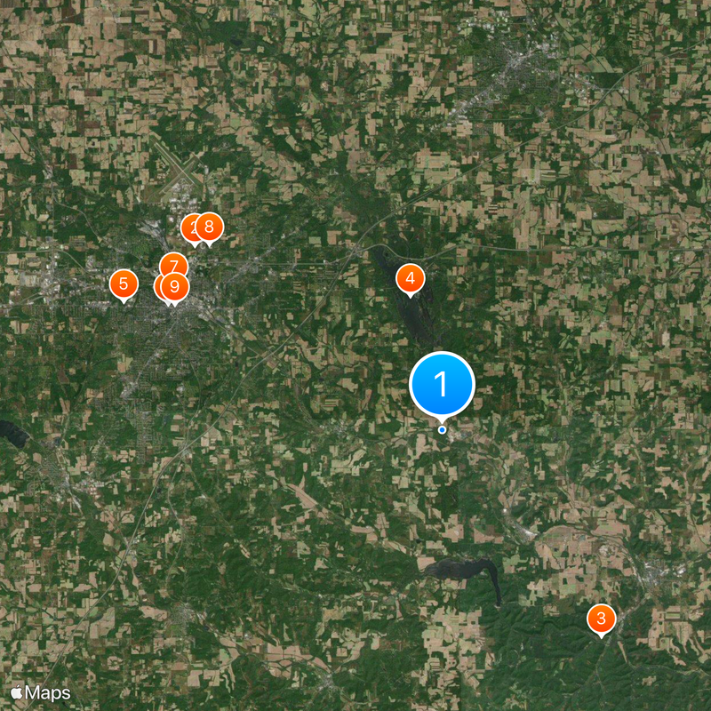
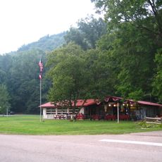
Hell Town is an abandoned village in Ohio situated on elevated terrain between Clear Creek and the Black Fork of the Mohican River. The settlement contains numerous empty buildings and structures spread across its territory.

The area was first inhabited by Mingo people until they were displaced in 1755, followed by a Lenape settlement before the village was completely abandoned in 1782. This succession of occupants shows how the region shifted over generations.

Former residents left behind written messages on their homes describing the pain of forced relocation and loss. These personal marks serve as testimony to how communities experience displacement and change over time.

Access to the area is controlled by the National Park Service and visitors must obtain permits and follow safety guidelines. Plan ahead by checking current access rules and bring appropriate footwear and weather protection.

The Krejci Dump within the territory became a Superfund site after toxic chemicals were discovered there, even affecting park rangers' health in 1985. This makes it one of few abandoned settlements linked to documented environmental contamination.

The community of curious travelers

AroundUs brings together thousands of curated places, local tips, and hidden gems, enriched daily by 60,000 contributors worldwide.

Start exploring
Location
GPS coordinates
40.70200,-82.35790
Latest update
December 19, 2025 21:56
Around this place
Ohio State Reformatory
United States of America

Ohio State Reformatory

15.5 km
Mohican State Park
United States of America

Mohican State Park

13.1 km
Charles Mill Lake
United States of America

Charles Mill Lake

6.9 km
Kingwood Center
United States of America

Kingwood Center

17.3 km
Renaissance Theatre
United States of America

Renaissance Theatre

15.2 km
Oak Hill Cottage
United States of America

Oak Hill Cottage

15.3 km
BibleWalk
United States of America

BibleWalk

15 km
Mansfield Memorial Museum
United States of America

Mansfield Memorial Museum

14.8 km
Mansfield Lahm Air National Guard Base
United States of America

Mansfield Lahm Air National Guard Base

18.3 km
Ashland County Courthouse
United States of America

Ashland County Courthouse

18.9 km
Martin Bushnell House
United States of America

Martin Bushnell House

15.1 km
Ohio Theatre
United States of America

Ohio Theatre

12.7 km
Anderson Schoolhouse
United States of America

Anderson Schoolhouse

15.5 km
Samuel Lewis House
United States of America

Samuel Lewis House

12.3 km
Richland Trust Building
United States of America

Richland Trust Building

14.7 km
First Congregational Church and Lexington School
United States of America

First Congregational Church and Lexington School

19.4 km
Jacob H. Barr House
United States of America

Jacob H. Barr House

16.6 km
Diamond Hill Cathedral
United States of America

Diamond Hill Cathedral

14.9 km
Malabar Farm State Park
United States of America

Malabar Farm State Park

6.5 km
Mansfield Art Center
United States of America

Mansfield Art Center

16.3 km
Mohican-Memorial State Forest Fire Tower
United States of America

Mohican-Memorial State Forest Fire Tower

11.7 km
Park Theatre
United States of America

Park Theatre

14.6 km
Mansfield/Richland County Public Library
United States of America

Mansfield/Richland County Public Library

14.9 km
Central Park
United States of America

Central Park

14.7 km
The Ohio State Reformatory
United States of America

The Ohio State Reformatory

15.2 km
Lexington Branch Library
United States of America

Lexington Branch Library

19.2 km
Charles Franklin Kettering
United States of America

Charles Franklin Kettering

12.9 km
Mohican State Park Covered Bridge
United States of America

Mohican State Park Covered Bridge

10.5 km
Show the full map
Reviews
Share your experience

No review yet

Discussions
Start a discussion...

No discussion yet

« Hell Town, Ohio - Abandoned village in Summit County, Ohio » is provided by Around Us (aroundus.com). Images and texts are derived from Wikimedia project under a Creative Commons license. You are allowed to copy, distribute, and modify copies of this page, under the conditions set by the license, as long as this note is clearly visible.

Discover hidden gems everywhere you go!

From secret cafés to breathtaking viewpoints, skip the crowded tourist spots and find places that match your style. Our app makes it easy with voice search, smart filtering, route optimization, and insider tips from travelers worldwide. Download now for the complete mobile experience.

Around Us App Screenshot

A unique approach to discovering new places

Le Figaro

All the places worth exploring

France Info

A tailor-made excursion in just a few clicks

20 Minutes

Around Us
Travel Guide & Maps
Download

Send to your phone

QR Code
1

Open the camera app on your mobile.

2

Point at the QR code with your camera. A notification will appear.

3

Tap the notification to open the link.