Chest opened
+${chestReward.xp} XP
Explorer
NOUVEAU ×${chestReward.collectible.quantity}
tapez pour fermer

See the monuments around you in AR Open chests in the app

Around Us is built for your phone — point your camera at the streets and discover the monuments and places around you in augmented reality. Around Us is built for your phone — chests unlock when you walk, explore and capture nearby places.

Enable Location

We need your location to show you interesting places around you

Discover nearby places

Find interesting locations and hidden gems around you

Precise directions

Get accurate directions and distances to places

Your location is never shared with other users. It's only used when you tap the location button.

Log in to your account

Start exploring — it's free

Trusted by 86,308 travelers worldwide

Continue with Google
Continue with Apple
or

We will send you a code to connect

By continuing, you accept our Terms and Conditions and our Privacy Policy

Check your inbox

We've sent a pincode in your inbox. Please enter the code below.

Illiana
Discussion Reviews Photo
2.9k Popularity

Illiana, Border region along Illinois and Indiana, United States

Illiana is a region spanning the border between Illinois and Indiana, encompassing major cities such as Chicago, Hammond, and surrounding communities. The area connects the eastern portions of Illinois with the western portions of Indiana, forming a cohesive economic and population zone.

The name Illiana originated from combining Illinois and Indiana, reflecting the geographical and historical connection between these neighboring states. The region developed into an important economic center, particularly during the industrial growth of the 20th century.

Educational institutions form a network across the region, including Danville Area Community College and Indiana State University in Terre Haute.

The region is well connected by multiple transportation routes linking both states, with State Line Road marking the exact border. Visitors should note that infrastructure and regulations may differ depending on which side of the boundary they are on.

A portion of the town of State Line in Indiana actually extends westward across the state boundary into Illinois. This geographical feature makes the area a curious case of how state borders can blur in unexpected ways.

The community of curious travelers

AroundUs brings together thousands of curated places, local tips, and hidden gems, enriched daily by 60,000 contributors worldwide.
Start exploring
Location
GPS coordinates
39.75000,-87.50000
Latest update
September 12, 2026 07:48
Around this place
Vincennes Historic District
United States of America

Vincennes Historic District

5.2 mi
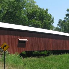
West Union Covered Bridge
United States of America

West Union Covered Bridge

11.4 mi
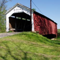
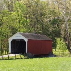
Sim Smith Covered Bridge
United States of America

Sim Smith Covered Bridge

9.1 mi
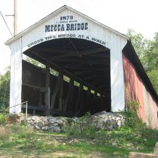
Mecca Covered Bridge
United States of America

Mecca Covered Bridge

9.4 mi
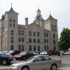
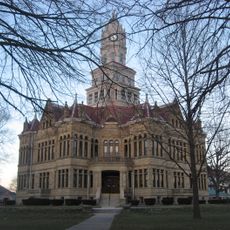
Edgar County Courthouse
United States of America

Edgar County Courthouse

14 mi
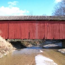
Possum Bottom Covered Bridge
United States of America

Possum Bottom Covered Bridge

4.1 mi
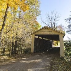
Melcher Covered Bridge
United States of America

Melcher Covered Bridge

9.2 mi
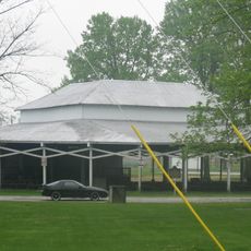
Rockville Chautauqua Pavilion
United States of America

Rockville Chautauqua Pavilion

14.1 mi
Harry Evans Covered Bridge
United States of America

Harry Evans Covered Bridge

12.5 mi
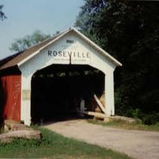
Roseville-Coxville Covered Bridge
United States of America

Roseville-Coxville Covered Bridge

12.9 mi
Phillips Covered Bridge
United States of America

Phillips Covered Bridge

9.6 mi
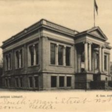
Paris Carnegie Public Library
United States of America

Paris Carnegie Public Library

13.7 mi
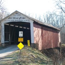
Mill Creek Covered Bridge
United States of America

Mill Creek Covered Bridge

13.2 mi
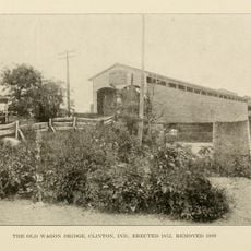
Clinton Covered Bridge
United States of America

Clinton Covered Bridge

8.5 mi
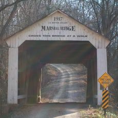
Marshall Covered Bridge
United States of America

Marshall Covered Bridge

13.1 mi
Asher Morton Farmstead
United States of America

Asher Morton Farmstead

13.7 mi
Catlin Covered Bridge
United States of America

Catlin Covered Bridge

14.2 mi
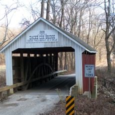
Zacke Cox Covered Bridge
United States of America

Zacke Cox Covered Bridge

12 mi
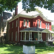
Vermillion County Jail and Sheriff's Residence
United States of America

Vermillion County Jail and Sheriff's Residence

9 mi
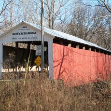
Rush Creek Covered Bridge
United States of America

Rush Creek Covered Bridge

14.2 mi
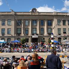
Vermillion County Courthouse
United States of America

Vermillion County Courthouse

10.5 mi
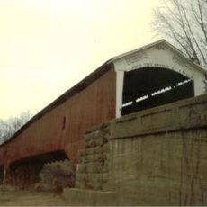
Newport Covered Bridge
United States of America

Newport Covered Bridge

10.4 mi
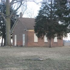
Wabash Township Graded School
United States of America

Wabash Township Graded School

9.1 mi
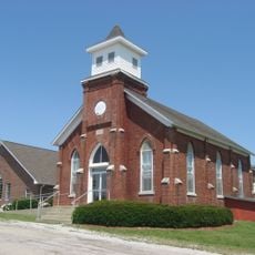
Salem Methodist Episcopal Church
United States of America

Salem Methodist Episcopal Church

5.5 mi
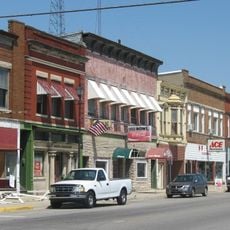
Clinton Downtown Historic District
United States of America

Clinton Downtown Historic District

8.3 mi
Pine Grove Community Club
United States of America

Pine Grove Community Club

14 mi
Paris Elks Lodge No. 812 Building
United States of America

Paris Elks Lodge No. 812 Building

14 mi
Shaw-Van Gilder House
United States of America

Shaw-Van Gilder House

14.2 mi
Show the full map
Reviews
Share your experience

No review yet

Discussions
Start a discussion...

No discussion yet

« Illiana - Border region along Illinois and Indiana, United States » is provided by Around Us (aroundus.com). Images and texts are derived from Wikimedia project under a Creative Commons license. You are allowed to copy, distribute, and modify copies of this page, under the conditions set by the license, as long as this note is clearly visible.

Discover hidden gems everywhere you go!

From secret cafés to breathtaking viewpoints, skip the crowded tourist spots and find places that match your style. Our app makes it easy with voice search, smart filtering, route optimization, and insider tips from travelers worldwide. Download now for the complete mobile experience.
Around Us App Screenshot

A unique approach to discovering new places

Le Figaro

All the places worth exploring

France Info

A tailor-made excursion in just a few clicks

20 Minutes

Around Us
Travel Guide & Maps
Download

Send to your phone

QR Code
1

Open the camera app on your mobile.

2

Point at the QR code with your camera. A notification will appear.

3

Tap the notification to open the link.