Chest opened
+${chestReward.xp} XP
Explorer
NOUVEAU ×${chestReward.collectible.quantity}
tapez pour fermer
Chest locked

Open chests in the app

Around Us is built for your phone — chests unlock when you walk, explore and capture nearby places.

Enable Location

We need your location to show you interesting places around you

Discover nearby places

Find interesting locations and hidden gems around you

Precise directions

Get accurate directions and distances to places

Your location is never shared with other users. It's only used when you tap the location button.

Marshall

Log in to your account

Start exploring — it's free

Trusted by 72,876 travelers worldwide

Continue with Google
Continue with Apple
or

We will send you a code to connect

By continuing, you accept our Terms and Conditions and our Privacy Policy

Check your inbox

We've sent a pincode in your inbox. Please enter the code below.

Discussion Reviews 1 Photos
13k Popularity

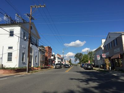
Marshall, Census-designated place in Fauquier County, Virginia, US.

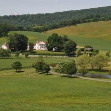
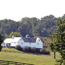
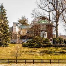
Marshall is a census-designated place in Fauquier County, Virginia, spanning approximately 2.9 square miles with a rural character. Carter Run flows through the southern portion while Goose Creek marks the northern boundary.

The settlement was originally called Salem but received its current name in honor of John Marshall, the fourth Chief Justice of the United States. This renaming reflects the importance of the prominent jurist to the community's founding and identity.

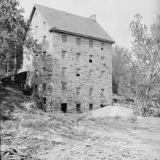
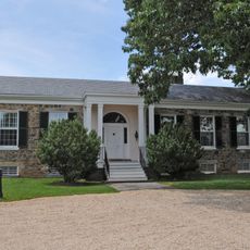
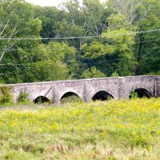
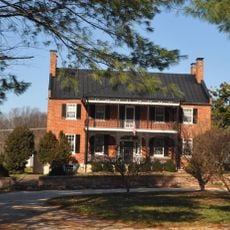
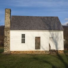
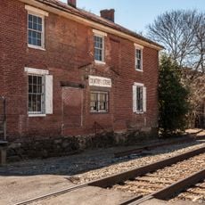
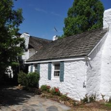
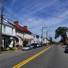
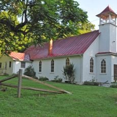
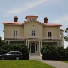
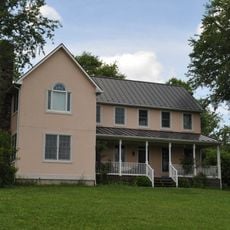
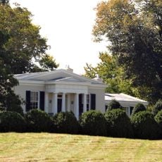
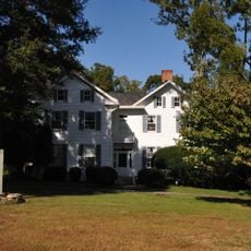
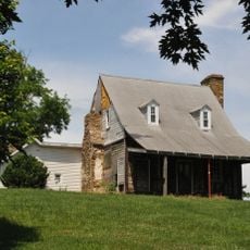
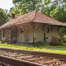
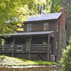
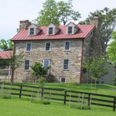
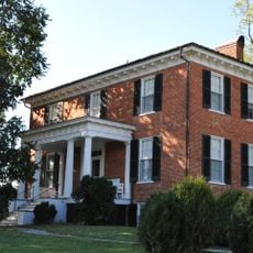
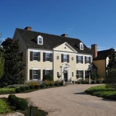
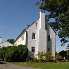
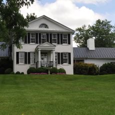
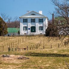
The Marshall Historic District contains numerous buildings dating to the 19th century, including the Number 18 School, one of the last functioning one-room schoolhouses in Fauquier County. Visitors can explore these preserved structures and understand how rural education and community life worked in that era.

The location sits about 50 miles from Washington D.C. and can be reached through two exits on Interstate 66 with direct access via State Route 55. Its proximity to these major roads makes it straightforward to visit and navigate.

The settlement sits at an elevation of approximately 685 feet, creating an interesting feature of local hydrology. Water from this point flows in two different river directions, with some draining toward the Rappahannock River and other water heading toward the Potomac River system.

The community of curious travelers

AroundUs brings together thousands of curated places, local tips, and hidden gems, enriched daily by 60,000 contributors worldwide.

Start exploring
Location
GPS coordinates
38.86470,-77.85780
Latest update
December 7, 2025 20:42
Around this place
Beverley Mill
United States of America

Beverley Mill

13.5 km
Blue Ridge Farm
United States of America

Blue Ridge Farm

11.2 km
Goose Creek Stone Bridge
United States of America

Goose Creek Stone Bridge

13.5 km
Rose Hill Farm
United States of America

Rose Hill Farm

13.4 km
The Hollow
United States of America

The Hollow

11.7 km
Delaplane Historic District
United States of America

Delaplane Historic District

7.8 km
Rectortown Historic District
United States of America

Rectortown Historic District

6.2 km
Marshall Historic District
United States of America

Marshall Historic District

329 m
Ashville Historic District
United States of America

Ashville Historic District

1.3 km
Oakley
United States of America

Oakley

12.6 km
John Marshall's Leeds Manor Rural Historic District
United States of America

John Marshall's Leeds Manor Rural Historic District

12.8 km
Crooked Run Valley Rural Historic District
United States of America

Crooked Run Valley Rural Historic District

12.9 km
Ashleigh
United States of America

Ashleigh

6.7 km
Galemont
United States of America

Galemont

11.2 km
Yew Hill-Robert Ashby's Tavern-Shacklett's Tavern
United States of America

Yew Hill-Robert Ashby's Tavern-Shacklett's Tavern

7.2 km
Markham Historic District
United States of America

Markham Historic District

13 km
Burrland Farm Historic District
United States of America

Burrland Farm Historic District

12.4 km
Morgantown Historic District
United States of America

Morgantown Historic District

3.2 km
Hume Historic District
United States of America

Hume Historic District

12.8 km
Mill House
United States of America

Mill House

13 km
Broad Run-Little Georgetown Rural Historic District
United States of America

Broad Run-Little Georgetown Rural Historic District

10.5 km
Old Denton
United States of America

Old Denton

7.8 km
Green Pastures (Middleburg, Virginia)
United States of America

Green Pastures (Middleburg, Virginia)

10 km
Woodside
United States of America

Woodside

5.8 km
Cromwell's Run Rural Historic District
United States of America

Cromwell's Run Rural Historic District

12.9 km
Morven
United States of America

Morven

12.1 km
Mount Hope
United States of America

Mount Hope

13.4 km
Oak Hill
United States of America

Oak Hill

4.7 km
Show the full map
Reviews
Share your experience

No review yet

Discussions
Start a discussion...

No discussion yet

« Marshall - Census-designated place in Fauquier County, Virginia, US » is provided by Around Us (aroundus.com). Images and texts are derived from Wikimedia project under a Creative Commons license. You are allowed to copy, distribute, and modify copies of this page, under the conditions set by the license, as long as this note is clearly visible.

Discover hidden gems everywhere you go!

From secret cafés to breathtaking viewpoints, skip the crowded tourist spots and find places that match your style. Our app makes it easy with voice search, smart filtering, route optimization, and insider tips from travelers worldwide. Download now for the complete mobile experience.

Around Us App Screenshot

A unique approach to discovering new places

Le Figaro

All the places worth exploring

France Info

A tailor-made excursion in just a few clicks

20 Minutes

Around Us
Travel Guide & Maps
Download

Send to your phone

QR Code
1

Open the camera app on your mobile.

2

Point at the QR code with your camera. A notification will appear.

3

Tap the notification to open the link.