K Street

Log in to your account

AroundUs is a community-driven map of interesting places, built by curious explorers like you. It grows with every review, story, and photo you share.
Connect to save your favorite spots, contribute locations, and create personalized routes.
Continue with Google
Continue with Apple
Continue with X
Continue with Facebook
Continue with email
By continuing, you accept our Terms and Conditions and our Privacy Policy
Create an account
Add to collection
Map
Suggest a change
Share

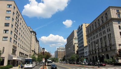
K Street, Commercial thoroughfare in downtown Washington, D.C., United States.

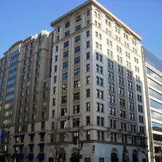
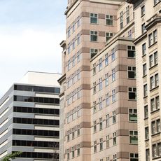
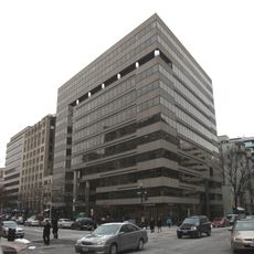
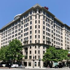
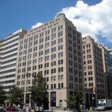
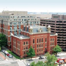
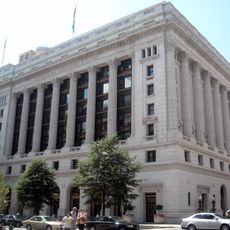
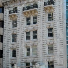
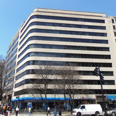
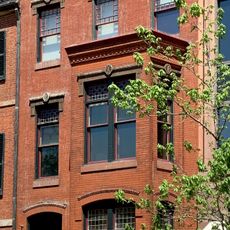
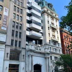
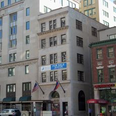
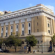
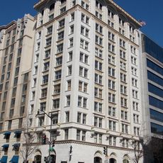
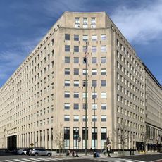
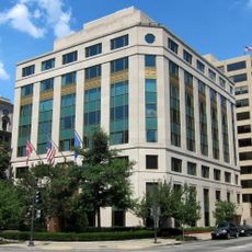
K Street runs from Wisconsin Avenue in Georgetown to Florida Avenue, forming a central corridor through the business district of Washington with tall office towers and government agencies nearby. The street crosses several neighborhoods, with the atmosphere shifting from historic brick facades in the west to modern glass fronts in the east.

The western section of this street was known as Water Street until 1895, when the city government systematically renamed the entire street grid according to a uniform plan. The transformation into a center for political lobbying began in the second half of the 20th century, as corporations and interest groups moved their offices closer to the federal government.

Law firms, trade associations, and advocacy organizations occupy many buildings along this street, and the name became synonymous with political lobbying in the United States. Office workers fill the sidewalks during lunch hours, while news crews often stand in front of corporate headquarters to conduct interviews or record statements.

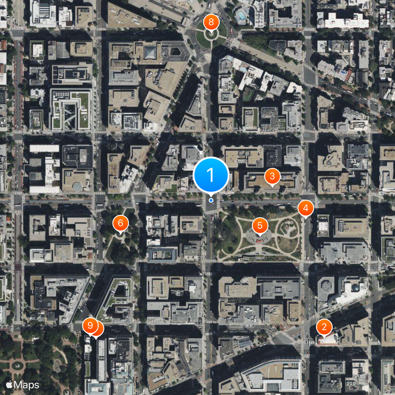
The street connects with several Metro stations, including Farragut North and McPherson Square, so visitors can reach different sections on foot. Sidewalks remain busy during business hours, making it advisable to arrive in the morning or late afternoon when pedestrian traffic is somewhat calmer.

The term became shorthand for the lobbying industry in American political discourse, often appearing in speeches and news reports to refer to influence peddling. This linguistic shift occurred gradually during the late 20th century, as the concentration of advocacy groups in this corridor grew and journalists began using the address as a metonym.

Location: Washington, D.C.

GPS coordinates: 38.90254,-77.03196

Latest update: December 13, 2025 18:35

Photos
Around this place
National Museum of Women in the Arts
United States of America

National Museum of Women in the Arts

364 m
One Franklin Square
United States of America

One Franklin Square

129 m
Franklin School
United States of America

Franklin School

197 m
Franklin Square
United States of America

Franklin Square

123 m
McPherson Square
United States of America

McPherson Square

198 m
United States of America

Howard T. Markey National Courts Building

369 m
Major General George Henry Thomas
United States of America

Major General George Henry Thomas

347 m
Cutts-Madison House
United States of America

Cutts-Madison House

373 m
Commodore John Barry
United States of America

Commodore John Barry

73 m
1333 H Street
United States of America

1333 H Street

253 m
United States of America

William T. Golden Center for Science and Engineering

350 m
1099 14th Street
United States of America

1099 14th Street

98 m
Major General James B. McPherson
United States of America

Major General James B. McPherson

197 m
1090 Vermont Avenue
United States of America

1090 Vermont Avenue

165 m
The Investment Building
United States of America

The Investment Building

282 m
Tower Building
United States of America

Tower Building

41 m
Planet Word
United States of America

Planet Word

236 m
Union Trust Building
United States of America

Union Trust Building

356 m
Champlain Apartment Building
United States of America

Champlain Apartment Building

71 m
Wire Building
United States of America

Wire Building

173 m
Gen. Robert Macfeely House
United States of America

Gen. Robert Macfeely House

236 m
Swartzell, Rheem and Hensey Company Building
United States of America

Swartzell, Rheem and Hensey Company Building

345 m
Peyser Building—Security Savings and Commercial Bank
United States of America

Peyser Building—Security Savings and Commercial Bank

314 m
Masonic Temple
United States of America

Masonic Temple

357 m
Planet Word
United States of America

Planet Word

233 m
Real Estate Trust Building
United States of America

Real Estate Trust Building

240 m
Lafayette Building
United States of America

Lafayette Building

237 m
Moreschi Building
United States of America

Moreschi Building

364 m
Show the full map
Reviews

Visited this place? Tap the stars to rate it and share your experience / photos with the community! Try now! You can cancel it anytime.

« K Street - Commercial thoroughfare in downtown Washington, D.C., United States » is provided by Around Us (aroundus.com). Images and texts are derived from Wikimedia project under a Creative Commons license. You are allowed to copy, distribute, and modify copies of this page, under the conditions set by the license, as long as this note is clearly visible.

Discover hidden gems everywhere you go!

From secret cafés to breathtaking viewpoints, skip the crowded tourist spots and find places that match your style. Our app makes it easy with voice search, smart filtering, route optimization, and insider tips from travelers worldwide. Download now for the complete mobile experience.

Around Us App Screenshot

A unique approach to discovering new places

Le Figaro

All the places worth exploring

France Info

A tailor-made excursion in just a few clicks

20 Minutes