Chest opened
+${chestReward.xp} XP
Explorer
NOUVEAU ×${chestReward.collectible.quantity}
tapez pour fermer
Chest locked

Open chests in the app

Around Us is built for your phone — chests unlock when you walk, explore and capture nearby places.

Enable Location

We need your location to show you interesting places around you

Discover nearby places

Find interesting locations and hidden gems around you

Precise directions

Get accurate directions and distances to places

Your location is never shared with other users. It's only used when you tap the location button.

Middle Peninsula

Log in to your account

Start exploring — it's free

Trusted by 72,882 travelers worldwide

Continue with Google
Continue with Apple
or

We will send you a code to connect

By continuing, you accept our Terms and Conditions and our Privacy Policy

Check your inbox

We've sent a pincode in your inbox. Please enter the code below.

Middle Peninsula
Discussion Reviews 1 Photos
17.4k Popularity

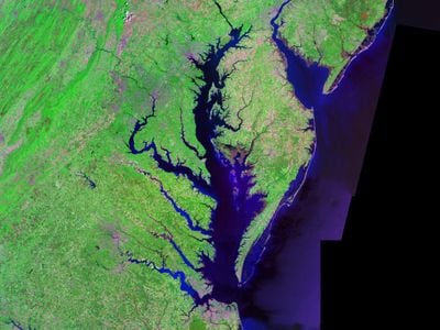
Middle Peninsula, Peninsula between Rappahannock and York Rivers in Virginia, United States

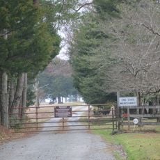
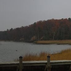
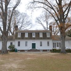
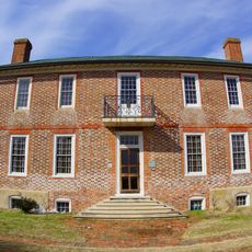
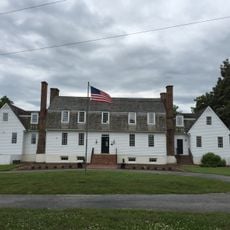
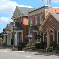
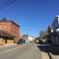
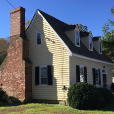
The Middle Peninsula lies between the Rappahannock and York Rivers, spanning six counties with shoreline along the Chesapeake Bay. Forests, farmland, and small waterfront communities make up the landscape across this region.

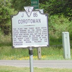
The Pamunkey and Mattaponi tribes established their reservations in this region centuries ago and remain there today. European settlement followed, but indigenous communities have continuously maintained their presence.

Fishing and oyster harvesting have shaped the daily life of residents for generations along the rivers and waterfront. The work on the water remains deeply connected to local identity and tradition.

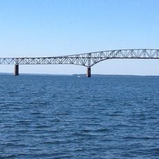
The region connects to larger urban centers through U.S. Route 17 and U.S. Route 360, with the George P. Coleman Memorial Bridge providing access to Hampton Roads. Plan to drive, as public transportation is limited in this rural area.

The Virginia Institute of Marine Science conducts research on coastal environments and supports conservation of local marine ecosystems. This scientific work helps protect the region's natural resources for future generations.

The community of curious travelers

AroundUs brings together thousands of curated places, local tips, and hidden gems, enriched daily by 60,000 contributors worldwide.

Start exploring
Location
GPS coordinates
37.60278,-76.65417
Latest update
December 7, 2025 19:24
Around this place
Werowocomoco
United States of America

Werowocomoco

21.2 km
Corotoman
United States of America

Corotoman

19.4 km
Robert O. Norris Bridge
United States of America

Robert O. Norris Bridge

20.5 km
York River State Park
United States of America

York River State Park

22.6 km
Belle Isle State Park
United States of America

Belle Isle State Park

19.7 km
Lower Church
United States of America

Lower Church

18 km
Sweet Hall
United States of America

Sweet Hall

22.3 km
USS Aquamarine
United States of America

USS Aquamarine

20.6 km
Chelsea
United States of America

Chelsea

15.5 km
King and Queen Courthouse Green Historic District
United States of America

King and Queen Courthouse Green Historic District

21.2 km
Lansdowne
United States of America

Lansdowne

7.8 km
T.C. Walker House
United States of America

T.C. Walker House

24.1 km
Bells Rock Light
United States of America

Bells Rock Light

15.7 km
Windsor Shades
United States of America

Windsor Shades

22.8 km
Gloucester Downtown Historic District
United States of America

Gloucester Downtown Historic District

24 km
Upper Church, Stratton Major Parish
United States of America

Upper Church, Stratton Major Parish

10.3 km
Newington Archaeological Site
United States of America

Newington Archaeological Site

23.3 km
Gloucester County Courthouse Square Historic District
United States of America

Gloucester County Courthouse Square Historic District

23.6 km
Sandwich
United States of America

Sandwich

8.3 km
Middlesex County Courthouse
United States of America

Middlesex County Courthouse

5.2 km
West Point Historic District
United States of America

West Point Historic District

14.9 km
Village of Morattico Historic District
United States of America

Village of Morattico Historic District

20.9 km
Urbanna Historic District
United States of America

Urbanna Historic District

7.9 km
Wormeley Cottage
United States of America

Wormeley Cottage

7.6 km
Middlesex County Courthouse
United States of America

Middlesex County Courthouse

7.8 km
Kempsville
United States of America

Kempsville

4.9 km
Kenwood
United States of America

Kenwood

22.5 km
Holly Knoll
United States of America

Holly Knoll

23.9 km
Show the full map
Reviews
Share your experience

No review yet

Discussions
Start a discussion...

No discussion yet

« Middle Peninsula - Peninsula between Rappahannock and York Rivers in Virginia, United States » is provided by Around Us (aroundus.com). Images and texts are derived from Wikimedia project under a Creative Commons license. You are allowed to copy, distribute, and modify copies of this page, under the conditions set by the license, as long as this note is clearly visible.

Discover hidden gems everywhere you go!

From secret cafés to breathtaking viewpoints, skip the crowded tourist spots and find places that match your style. Our app makes it easy with voice search, smart filtering, route optimization, and insider tips from travelers worldwide. Download now for the complete mobile experience.

Around Us App Screenshot

A unique approach to discovering new places

Le Figaro

All the places worth exploring

France Info

A tailor-made excursion in just a few clicks

20 Minutes

Around Us
Travel Guide & Maps
Download

Send to your phone

QR Code
1

Open the camera app on your mobile.

2

Point at the QR code with your camera. A notification will appear.

3

Tap the notification to open the link.