Chest opened
+${chestReward.xp} XP
Explorer
NOUVEAU ×${chestReward.collectible.quantity}
tapez pour fermer

See the monuments around you in AR Open chests in the app

Around Us is built for your phone — point your camera at the streets and discover the monuments and places around you in augmented reality. Around Us is built for your phone — chests unlock when you walk, explore and capture nearby places.

Enable Location

We need your location to show you interesting places around you

Discover nearby places

Find interesting locations and hidden gems around you

Precise directions

Get accurate directions and distances to places

Your location is never shared with other users. It's only used when you tap the location button.

Sweet Hall

Log in to your account

Start exploring — it's free

Trusted by 85,714 travelers worldwide

Continue with Google
Continue with Apple
or

We will send you a code to connect

By continuing, you accept our Terms and Conditions and our Privacy Policy

Check your inbox

We've sent a pincode in your inbox. Please enter the code below.

Discussion Reviews 1 Photos
1.5k Popularity

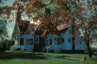
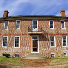
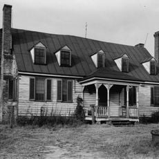
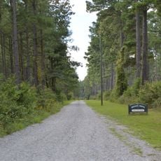
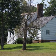
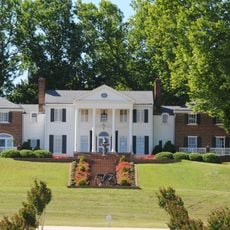
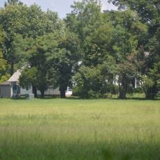
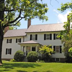
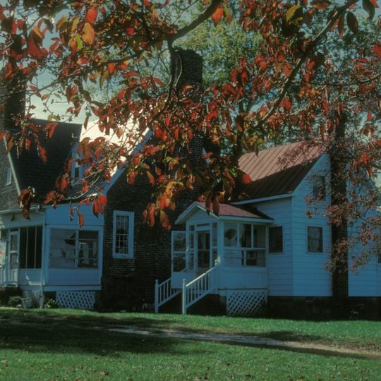
Sweet Hall, Colonial plantation house in King William County, Virginia.

Sweet Hall is a brick dwelling from the early colonial period with a T-shaped floor plan that sits on the banks of the Pamunkey River. The building has a five-bay front facade, paired T-shaped chimneys, and a balanced design typical of pre-Georgian architecture.

The house was built in the early 1700s for Thomas Claiborne, grandson of Colonial Secretary William Claiborne. It served as a central point for ferry operations that transported people and goods across the Pamunkey River.

The house shows how colonial builders blended English construction methods with local materials and skills to create homes suited to Virginia's climate. Its T-shaped layout and distinctive paired chimneys reflect the tastes of wealthy plantation owners of that era.

The residence is privately owned and protected as a historic landmark, so public access is limited. Check ahead about visiting possibilities to avoid arriving without the chance to see the site.

The roof uses a rare medieval English building method with curved timber supports, a construction technique found nowhere else in Virginia. This old craftsmanship shows the link between English traditions and early American settlements.

The community of curious travelers

AroundUs brings together thousands of curated places, local tips, and hidden gems, enriched daily by 60,000 contributors worldwide.
Start exploring
Location
GPS coordinates
37.57000,-76.90310
Latest update
August 30, 2026 23:00
Around this place
Elsing Green
United States of America

Elsing Green

8.4 mi
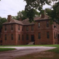
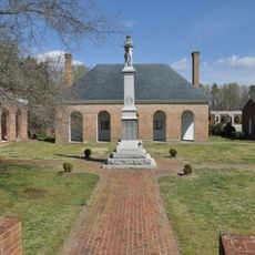
King William County Courthouse
United States of America

King William County Courthouse

10.2 mi
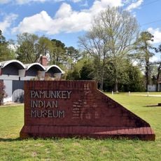
Pamunkey Indian Tribe Museum
United States of America

Pamunkey Indian Tribe Museum

5.4 mi
Chericoke
United States of America

Chericoke

12.4 mi
Chelsea
United States of America

Chelsea

4.4 mi
King and Queen Courthouse Green Historic District
United States of America

King and Queen Courthouse Green Historic District

7 mi
Emmaus Baptist Church
United States of America

Emmaus Baptist Church

11.5 mi
White Hall
United States of America

White Hall

12.8 mi
Bells Rock Light
United States of America

Bells Rock Light

10.3 mi
Windsor Shades
United States of America

Windsor Shades

0.4 mi
Former New Kent High School
United States of America

Former New Kent High School

13.3 mi
Windsor Castle
United States of America

Windsor Castle

13.6 mi
Olivet Presbyterian Church
United States of America

Olivet Presbyterian Church

10.8 mi
Hickory Neck Church
United States of America

Hickory Neck Church

13.4 mi
Upper Church, Stratton Major Parish
United States of America

Upper Church, Stratton Major Parish

7.6 mi
Fort Mattapony
United States of America

Fort Mattapony

12.5 mi
Newington Archaeological Site
United States of America

Newington Archaeological Site

7.1 mi
Spring Hill
United States of America

Spring Hill

11.5 mi
Cumberland
United States of America

Cumberland

4.6 mi
Spring Green
United States of America

Spring Green

15.3 mi
West Point Historic District
United States of America

West Point Historic District

6.4 mi
Marl Hill
United States of America

Marl Hill

7.9 mi
Poplar Springs
United States of America

Poplar Springs

13.8 mi
Cedar Lane
United States of America

Cedar Lane

8.1 mi
Kempsville
United States of America

Kempsville

14.5 mi
Lanesville Christadelphian Church
United States of America

Lanesville Christadelphian Church

5.2 mi
Royal New Kent Golf Club
United States of America

Royal New Kent Golf Club

9.2 mi
New Kent School and George W. Watkins School
United States of America

New Kent School and George W. Watkins School

13.3 mi
Show the full map
Reviews
Share your experience

No review yet

Discussions
Start a discussion...

No discussion yet

« Sweet Hall - Colonial plantation house in King William County, Virginia » is provided by Around Us (aroundus.com). Images and texts are derived from Wikimedia project under a Creative Commons license. You are allowed to copy, distribute, and modify copies of this page, under the conditions set by the license, as long as this note is clearly visible.

Discover hidden gems everywhere you go!

From secret cafés to breathtaking viewpoints, skip the crowded tourist spots and find places that match your style. Our app makes it easy with voice search, smart filtering, route optimization, and insider tips from travelers worldwide. Download now for the complete mobile experience.
Around Us App Screenshot

A unique approach to discovering new places

Le Figaro

All the places worth exploring

France Info

A tailor-made excursion in just a few clicks

20 Minutes

Around Us
Travel Guide & Maps
Download

Send to your phone

QR Code
1

Open the camera app on your mobile.

2

Point at the QR code with your camera. A notification will appear.

3

Tap the notification to open the link.