
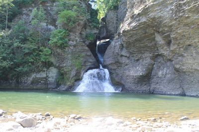
Mine Kill State Park, State park in Schoharie County, New York
Location: New York
Website: https://parks.ny.gov/parks/minekill/details.aspx
GPS coordinates: 42.43556,-74.46028
Latest update: March 13, 2025 01:51
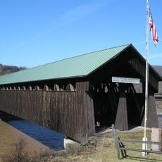
Old Blenheim Bridge
4.4 km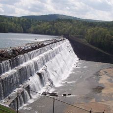
Schoharie Reservoir
4.9 km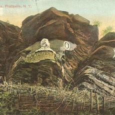
Pratt Rock
14.3 km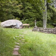
Woodchuck Lodge
18.5 km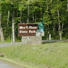
Max V. Shaul State Park
13.2 km
Lansing Manor House
1.8 km
Vly Mountain
21.2 km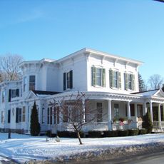
Dr. Christopher S. Best House and Office
20.7 km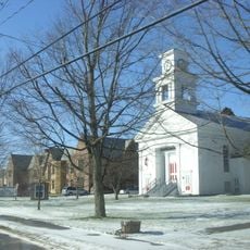
Main Street Historic District
18.3 km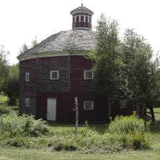
Parker 13-Sided Barn
12.9 km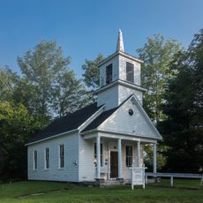
Union Chapel
19.9 km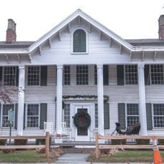
Zadock Pratt House
13.7 km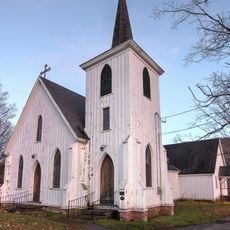
Trinity Episcopal Church
20.3 km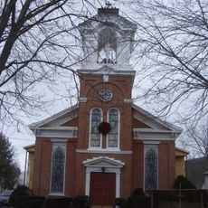
St. Mark's Evangelical Lutheran Church
20.9 km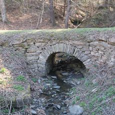
Allan Teator Road Stone Arch Bridge
20 km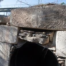
Brand Hollow Road Stone Arch Bridge
18.5 km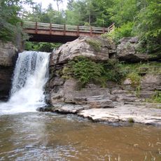
Hardenburgh Falls
10.9 km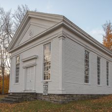
West Settlement Methodist Church
13.7 km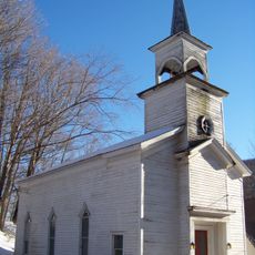
Livingstonville Community Church
16.9 km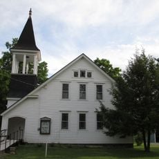
West Fulton Methodist Church
14.3 km
Breakabeen Historic District
11.6 km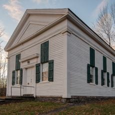
North Settlement Methodist Church
17.3 km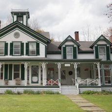
Elijah Strong House
17.6 km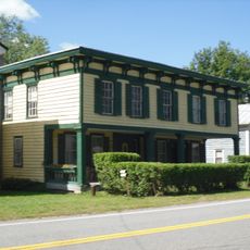
North Blenheim Historic District
3.9 km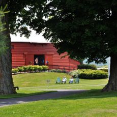
New York Power Authority Blenheim-Gilboa Visitors Center
1.5 km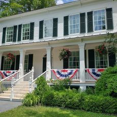
Lansing Manor House
1.6 km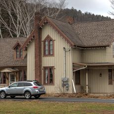
Old Episcopal Manse
13.7 km
Morss Homestead/Federal City Homestead
15 kmReviews
Visited this place? Tap the stars to rate it and share your experience / photos with the community! Try now! You can cancel it anytime.
Discover hidden gems everywhere you go!
From secret cafés to breathtaking viewpoints, skip the crowded tourist spots and find places that match your style. Our app makes it easy with voice search, smart filtering, route optimization, and insider tips from travelers worldwide. Download now for the complete mobile experience.

A unique approach to discovering new places❞
— Le Figaro
All the places worth exploring❞
— France Info
A tailor-made excursion in just a few clicks❞
— 20 Minutes