
Northfield, human settlement in Northfield, Vermont, United States of America
Location: Northfield
Elevation above the sea: 223 m
GPS coordinates: 44.15110,-72.65750
Latest update: March 9, 2025 14:41
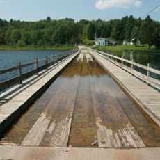
Sunset Lake Floating Bridge
12.8 km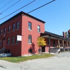
Socialist Labor Party Hall
13.1 km
Allis State Park
11.6 km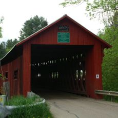
Northfield Falls Covered Bridge
2.4 km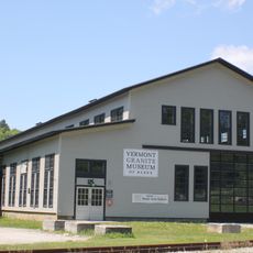
Vermont Granite Museum
12.8 km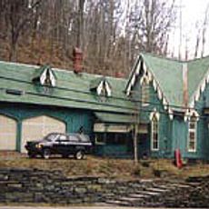
Athenwood and the Thomas W. Wood Studio
13.2 km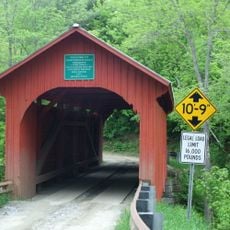
Slaughter House Covered Bridge
1.9 km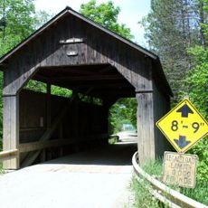
Pine Brook Covered Bridge
12.3 km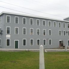
National Clothespin Factory
13.2 km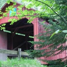
Stony Brook Covered Bridge
4.3 km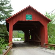
Lower Cox Brook Covered Bridge
2.4 km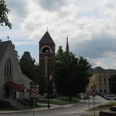
Barre City Hall and Opera House
13.4 km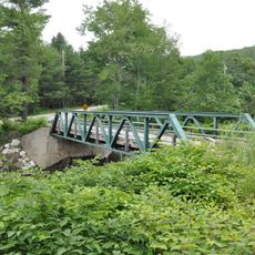
Lover's Lane Bridge
4.5 km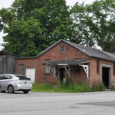
Union Co-operative Store Bakery
13.1 km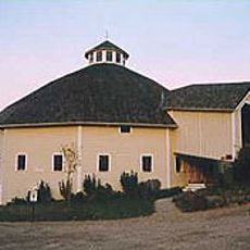
Joslin Farm
12.3 km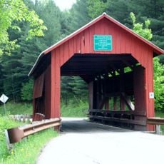
Upper Cox Brook Covered Bridge
2.5 km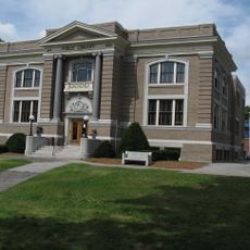
Barre Downtown Historic District
13.4 km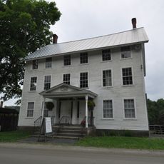
Brookfield Village Historic District
12.8 km
E. L. Smith Roundhouse Granite Shed
13.2 km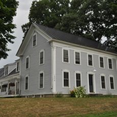
Mad River Valley Rural Historic District
13.2 km
Beck and Beck Granite Shed
13.2 km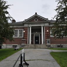
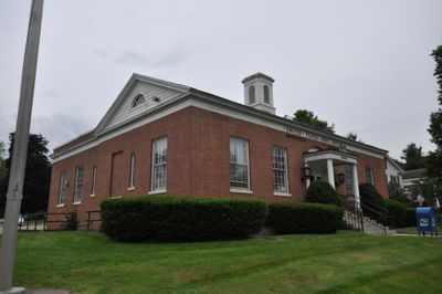
Brown Public Library
415 m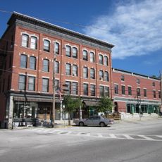
Mayo Building
327 m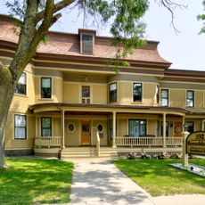
Reynolds House
13.4 km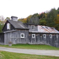
Old Red Mill
3.6 km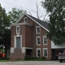
Joshua Twing Gristmill
13.1 km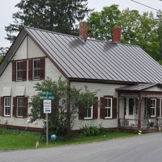
Chauncey B. Leonard House
9.1 km
Waitsfield Common Historic District
11.8 kmReviews
Visited this place? Tap the stars to rate it and share your experience / photos with the community! Try now! You can cancel it anytime.
Discover hidden gems everywhere you go!
From secret cafés to breathtaking viewpoints, skip the crowded tourist spots and find places that match your style. Our app makes it easy with voice search, smart filtering, route optimization, and insider tips from travelers worldwide. Download now for the complete mobile experience.

A unique approach to discovering new places❞
— Le Figaro
All the places worth exploring❞
— France Info
A tailor-made excursion in just a few clicks❞
— 20 Minutes