Chest opened
+${chestReward.xp} XP
Explorer
NOUVEAU ×${chestReward.collectible.quantity}
tapez pour fermer

See the monuments around you in AR Open chests in the app

Around Us is built for your phone — point your camera at the streets and discover the monuments and places around you in augmented reality. Around Us is built for your phone — chests unlock when you walk, explore and capture nearby places.

Enable Location

We need your location to show you interesting places around you

Discover nearby places

Find interesting locations and hidden gems around you

Precise directions

Get accurate directions and distances to places

Your location is never shared with other users. It's only used when you tap the location button.

Panhandle Bridge

Log in to your account

Start exploring — it's free

Trusted by 86,257 travelers worldwide

Continue with Google
Continue with Apple
or

We will send you a code to connect

By continuing, you accept our Terms and Conditions and our Privacy Policy

Check your inbox

We've sent a pincode in your inbox. Please enter the code below.

Panhandle Bridge
Discussion Reviews 2 Photos
5.7k Popularity

Panhandle Bridge, Railway bridge in Pittsburgh, United States

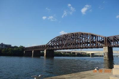
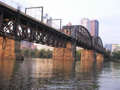
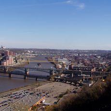
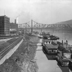
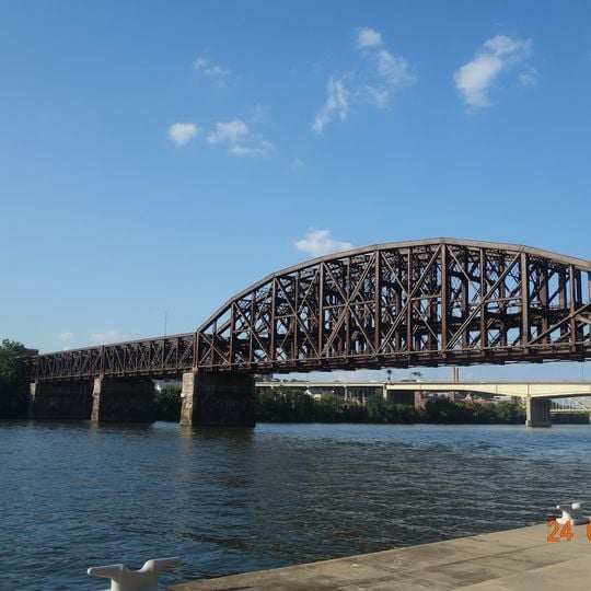
Panhandle Bridge is a railway crossing over the Monongahela River that carries two rail tracks connecting downtown Pittsburgh to neighborhoods south of the river. The steel structure stands as a key link in the city's light rail system that moves passengers throughout the area.

The bridge was built in 1903 by the Pennsylvania Railroad as a replacement for earlier rail structures at the same location. It represents the third major crossing that has been constructed at this river point since the middle 1800s.

The bridge takes its name from the historic railroad route that once connected major cities across the region. Today it serves as a landmark that defines the river crossing for the thousands of commuters who use it daily.

The bridge is not open to pedestrians as it is reserved exclusively for train traffic. The best views of the structure can be found from the surrounding riverbanks or from nearby bridges that cross the river.

Between 1912 and 1914 the entire bridge structure was raised approximately 60 feet (18 m) in one of the city's most ambitious engineering projects. This lift was part of a broader urban effort to improve traffic flow and grade separation.

The community of curious travelers

AroundUs brings together thousands of curated places, local tips, and hidden gems, enriched daily by 60,000 contributors worldwide.
Start exploring
Location
Official opening
1903
Address
Panhandle Bridge, Pittsburgh, PA 15219, USA
GPS coordinates
40.43517,-79.99678
Latest update
September 12, 2026 08:13
Around this place
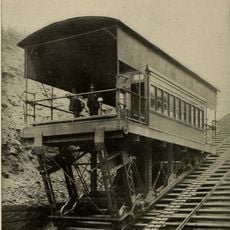
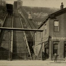
Monongahela Incline
United States of America

Monongahela Incline

0.5 mi
Smithfield Street Bridge
United States of America

Smithfield Street Bridge

0.3 mi
Pittsburgh City-County Building
United States of America

Pittsburgh City-County Building

0.2 mi
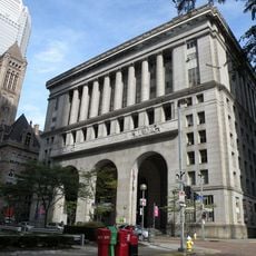
Oxford Centre
United States of America

Oxford Centre

0.2 mi
Grant Building
United States of America

Grant Building

0.2 mi
Castle Shannon Incline
United States of America

Castle Shannon Incline

0.5 mi
Firstside Historic District
United States of America

Firstside Historic District

0.4 mi
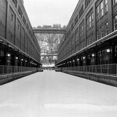
Monongahela Freight Incline
United States of America

Monongahela Freight Incline

0.5 mi
Allegheny County Office Building
United States of America

Allegheny County Office Building

0.2 mi
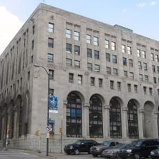
Pittsburgh Terminal Properties
United States of America

Pittsburgh Terminal Properties

0.3 mi
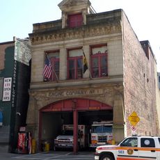
Engine Company No. 1 and No. 30
United States of America

Engine Company No. 1 and No. 30

0.3 mi
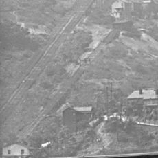
Pittsburgh and Castle Shannon Plane
United States of America

Pittsburgh and Castle Shannon Plane

0.5 mi
109-115 Wood Street
United States of America

109-115 Wood Street

0.4 mi
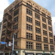
Hartley-Rose Belting Company Building
United States of America

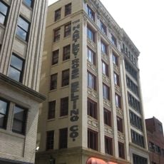
Hartley-Rose Belting Company Building

0.2 mi
Allegheny County Mortuary
United States of America

Allegheny County Mortuary

0.2 mi
Jones & Laughlin Headquarters Building
United States of America

Jones & Laughlin Headquarters Building

0.1 mi
Liberty Bridge
United States of America

Liberty Bridge

0.2 mi
United States of America

Smithfield Street Bridge

0.3 mi
United States of America

Monongahela Bridge

0.3 mi
Monongahela Wharf
United States of America

Monongahela Wharf

0.4 mi
Emerald View Park
United States of America

Emerald View Park

0.6 mi
United States of America

Untitled

0.6 mi
United States of America

Scenic viewpoint

0.6 mi
United States of America

Scenic viewpoint

0.6 mi
United States of America

Scenic viewpoint

0.6 mi
United States of America

Scenic viewpoint

0.6 mi
United States of America

Scenic viewpoint

0.6 mi
United States of America

Scenic viewpoint

0.5 mi
Show the full map
Reviews
Share your experience

No review yet

Discussions
Start a discussion...

No discussion yet

« Panhandle Bridge - Railway bridge in Pittsburgh, United States » is provided by Around Us (aroundus.com). Images and texts are derived from Wikimedia project under a Creative Commons license. You are allowed to copy, distribute, and modify copies of this page, under the conditions set by the license, as long as this note is clearly visible.

Discover hidden gems everywhere you go!

From secret cafés to breathtaking viewpoints, skip the crowded tourist spots and find places that match your style. Our app makes it easy with voice search, smart filtering, route optimization, and insider tips from travelers worldwide. Download now for the complete mobile experience.

Around Us App Screenshot

A unique approach to discovering new places

Le Figaro

All the places worth exploring

France Info

A tailor-made excursion in just a few clicks

20 Minutes

Around Us
Travel Guide & Maps
Download

Send to your phone

QR Code
1

Open the camera app on your mobile.

2

Point at the QR code with your camera. A notification will appear.

3

Tap the notification to open the link.